Founded in 1659, Nantucket is an island 30 miles south of Cape Cod. The year-round population is about 15,000, but in July and August it swells to 85,000+. The people come not only for the beaches and food, but also to visit the many historic sites as well. Here are a few of them:
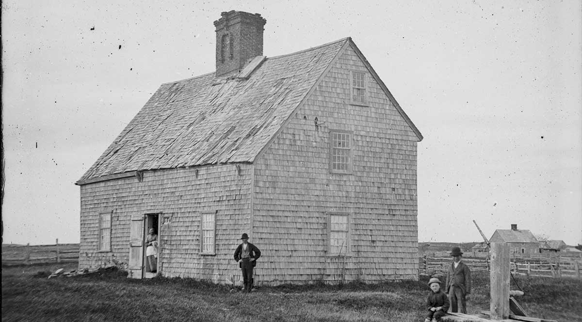
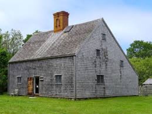
Coffin House
The Coffin House was built in1686, a wedding gift from Tristram Coffin to his grandson Jethro. It is now a museum. The first photo is dated 1860s.
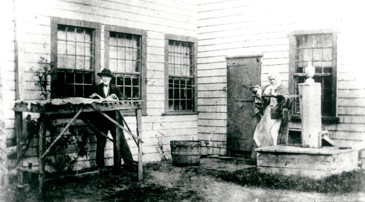
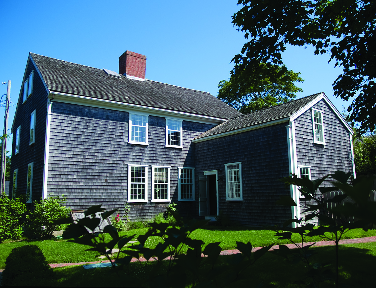
4 Mill Road
The dwelling at 4 Mill Rd. was built in 1801, and it, too, offers insight into daily life in the 19th century. It also holds classes on early American decorative arts. The first photo, dated 1893, shows the owner preparing fish for drying.
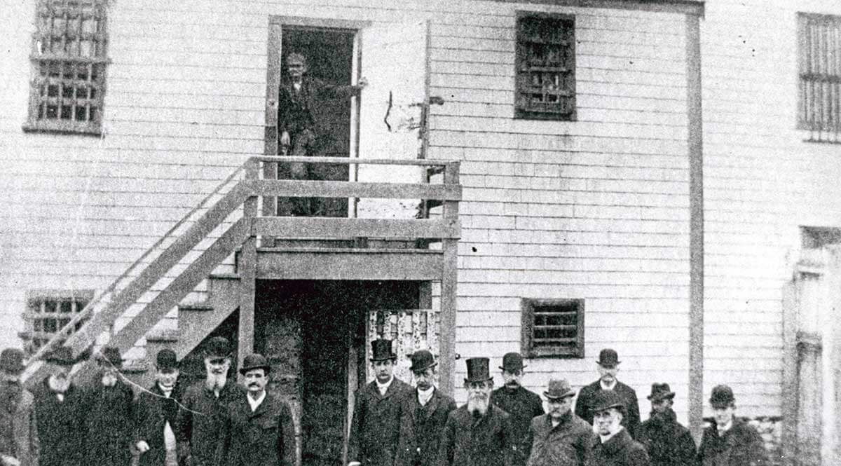
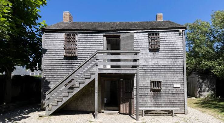
Jail
The Nantucket jail was built in 1805 and ceased operations in 1933. It opened for public viewing in 1949. The first photo is dated 1893.
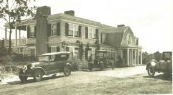
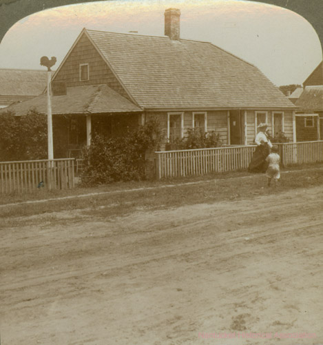
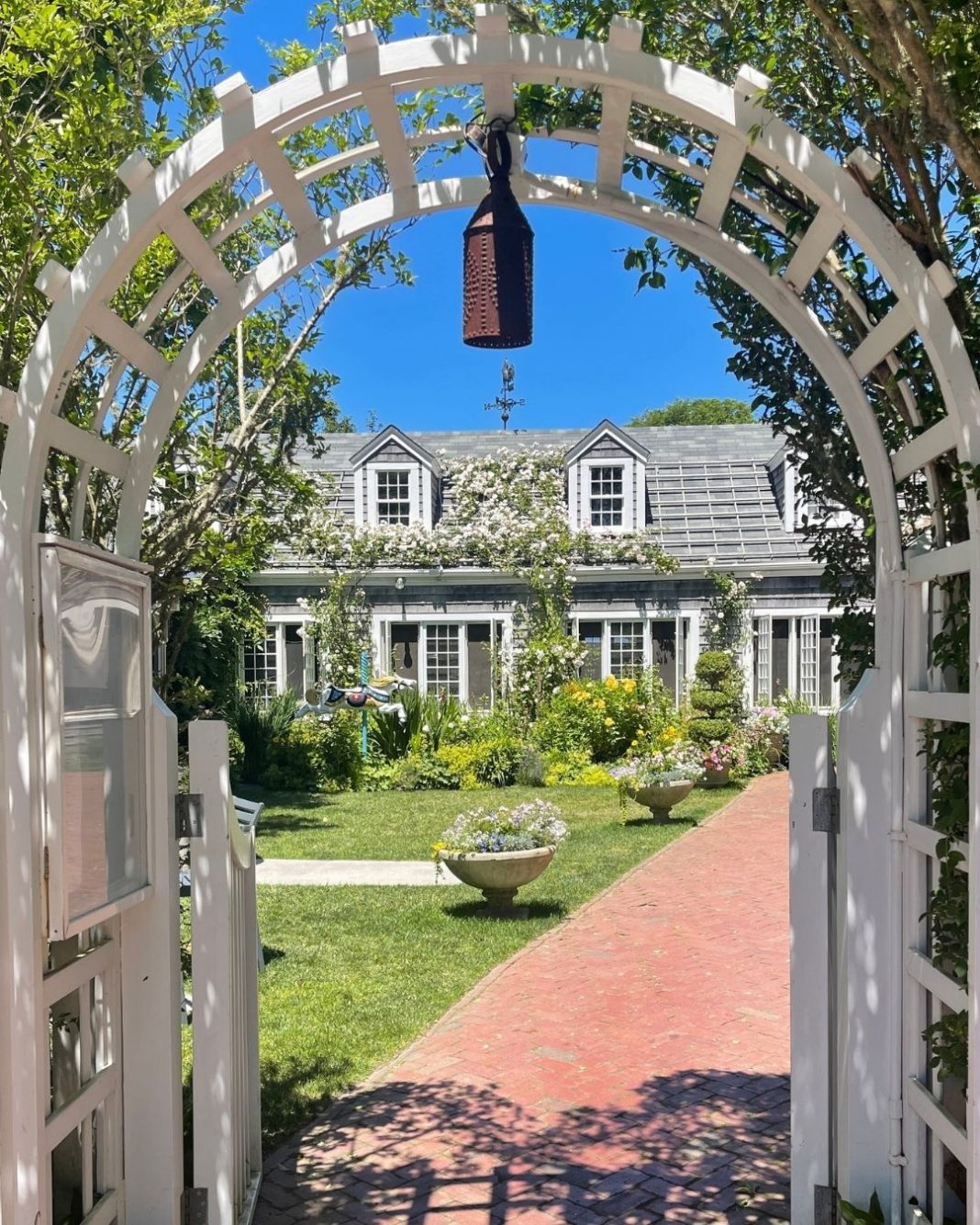
Chanticleer Restaurant
Originally built as a dwelling, the Chanticleer Restaurant began operating in 1909. The first photo is dated 1890s.
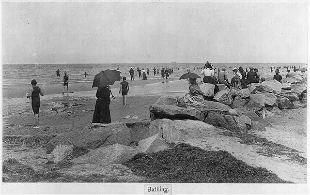
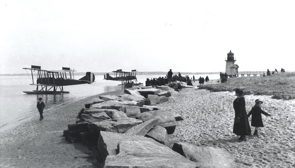
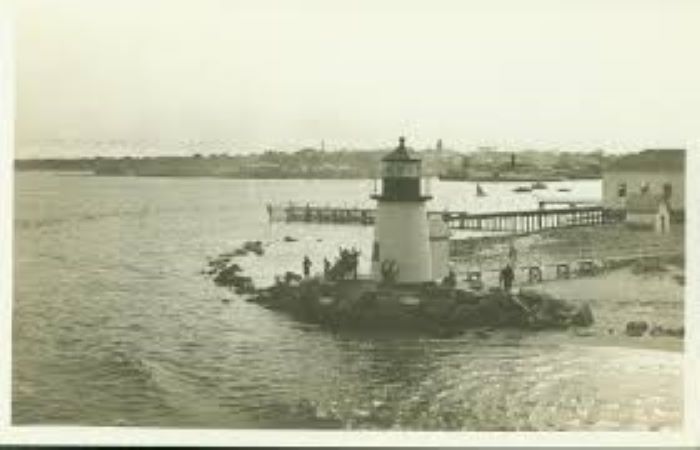
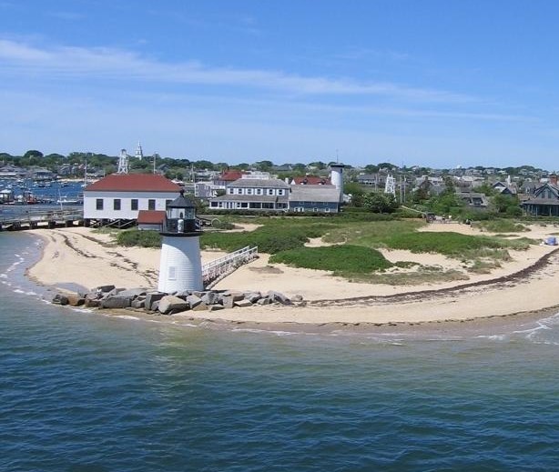
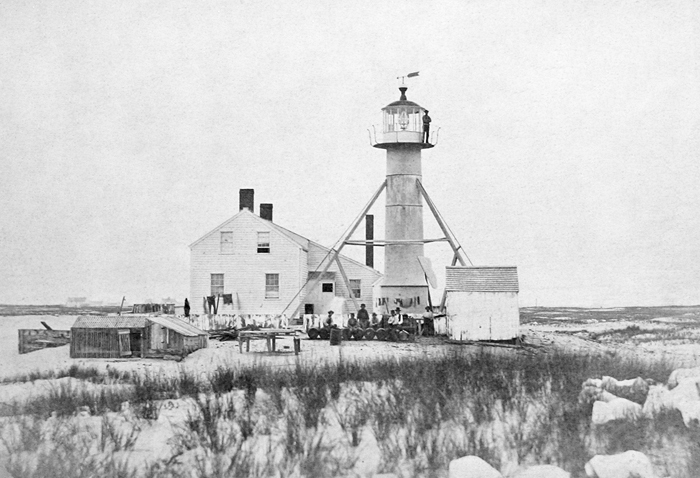
Brandt Point Lighthouse
The current Brandt Point Lighthouse was built in 1901. It is the 9th lighthouse built on the site dating back to 1746. The first photo is dated 1897, the second 1918 and the third 1940s.