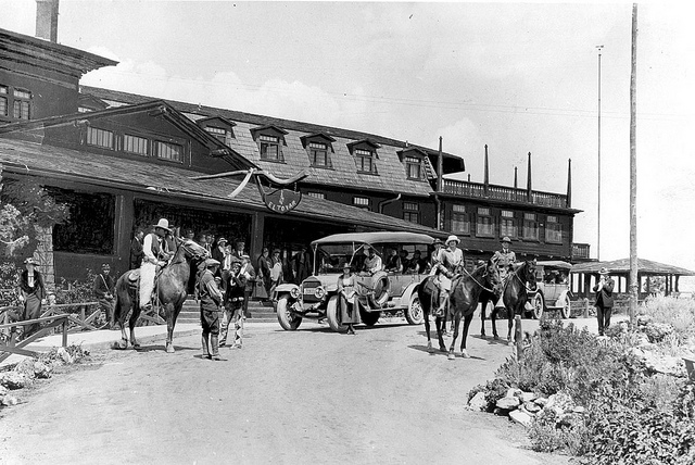
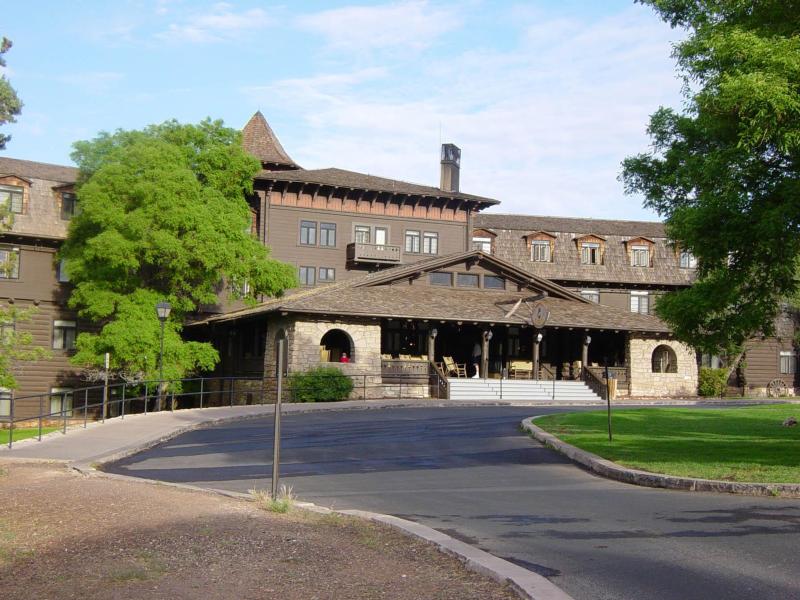
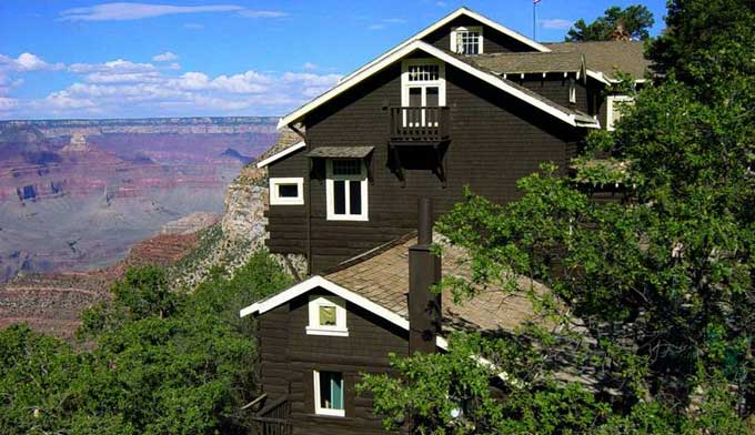
Only feet from the South Rim lies the iconic El Tovar hotel built by the Santa Fe Railway in 1905. It has 100 rooms and was designed to attract the railroad’s more well-healed customers.

|
You are using an insecure version of your web browser. Please update your browser!
Using an outdated browser makes your computer unsafe. For a safer, faster, more enjoyable user experience, please update your browser today or try a newer browser.
|
|
Recreation and Re-creation |
Only feet from the South Rim lies the iconic El Tovar hotel built by the Santa Fe Railway in 1905. It has 100 rooms and was designed to attract the railroad’s more well-healed customers.
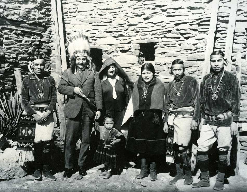
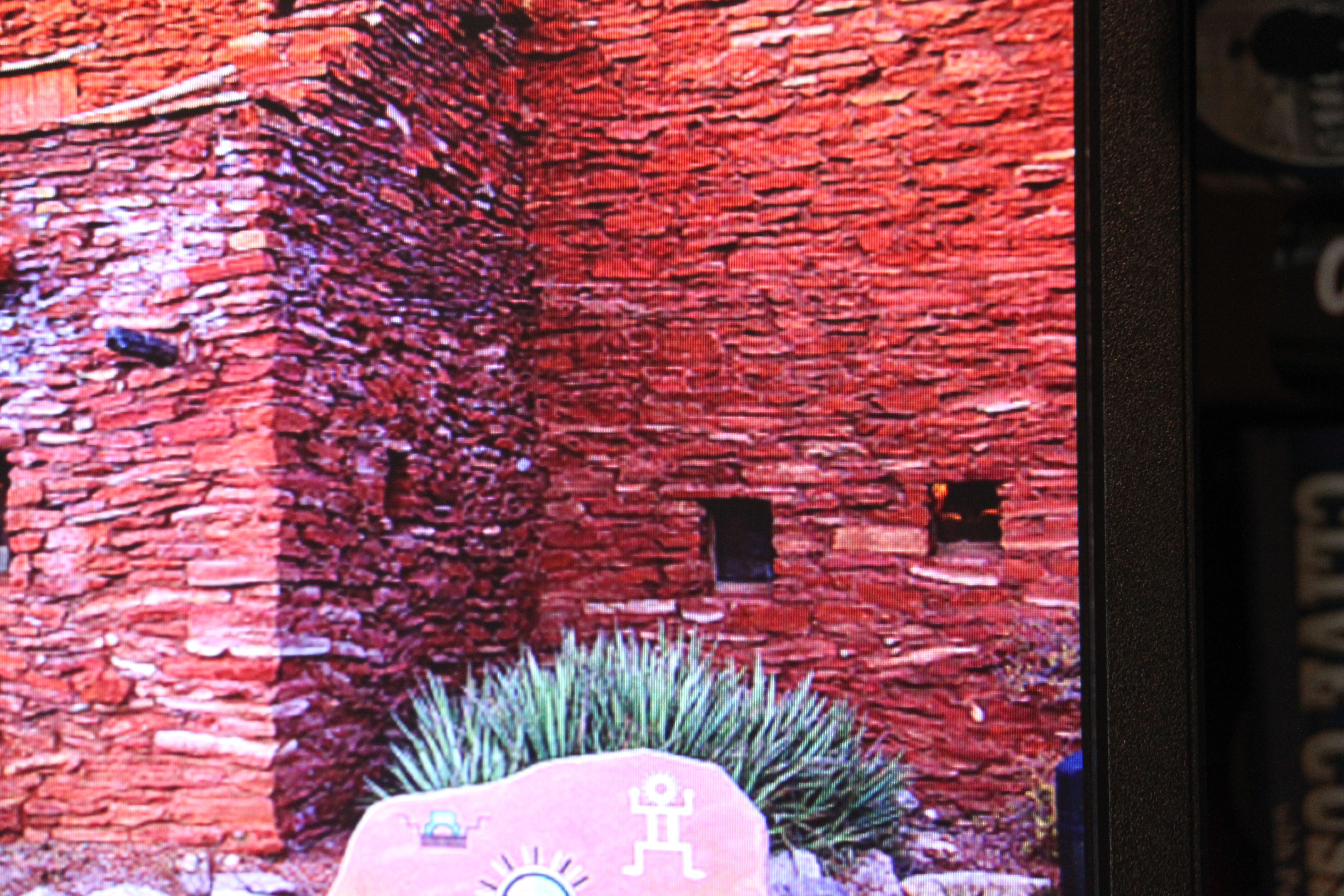
Directly across from the El Tovar is Hopi House, which also opened in 1905. Hopi craftsmen would demonstrate their skills in making jewelry, rugs, pottery, and blankets which could then be purchased. It’s a smart place to shop, as can be seen by the satisfied customer with the headdress in this 1931 photo. Click to enlarge.
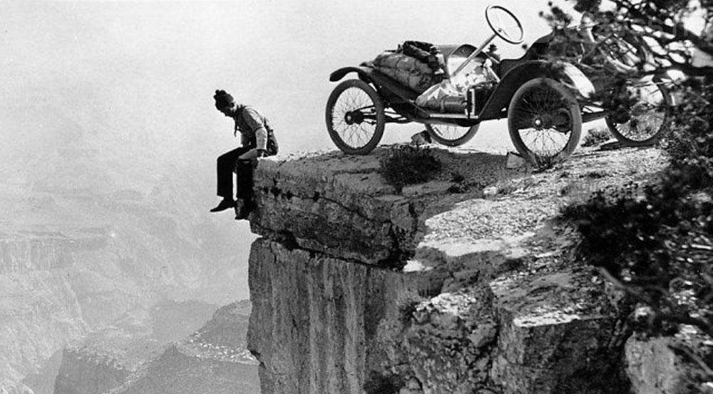
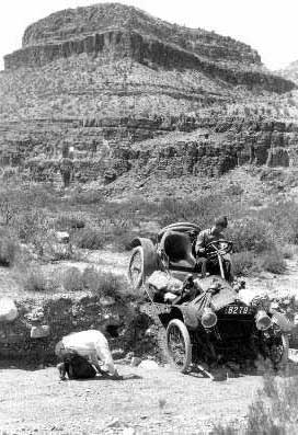
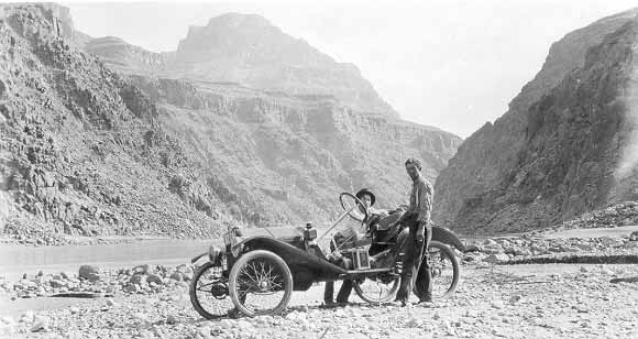
In 1914 Mr. L. Wing and a friend took their 22 horsepower Metz car to the bottom of the Grand Canyon, having first departed Los Angeles and crossing deserts south of Death Valley. They had few roads to follow, no GPS or cell phones, and still had to cross three mountain ranges as well. After 587 grueling miles, they first went to the El Tovar Hotel and scouted possible routes to the bottom, but to no avail. They found a gorge at Peach Springs and made the 42 miles trip down to the river and back the next day.
 .
.
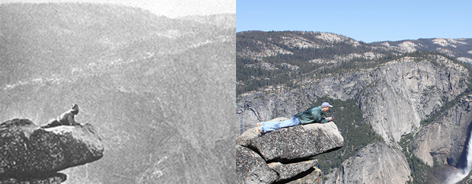
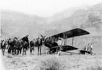
Long ago the mules in Grand Canyon did more than just ferry tourists down to the Colorado River and back. This 1922 picture shows them at Plateau Point meeting the only plane ever to land in the Park.
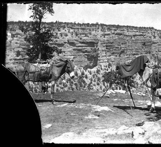
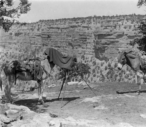
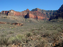 Sometimes they competed with the Kolb Brothers by taking pictures of each other as seen in these 1915 and 1920 photos. Click to enlarge
In 1906 Teddy Roosevelt gave initial protection to the Grand Canyon when it was designated a National Monument. In 1919 it bcaame a National Park due in no small part to photographers Emery and Elsworth Kolb. They scoured the back country looking for the perfect photos to entice people to come and visit. Here are three examples showing their efforts taken in 1911, 13 and 15. 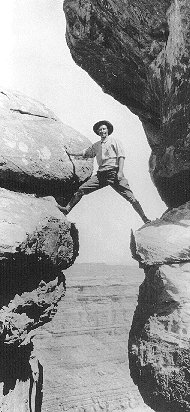
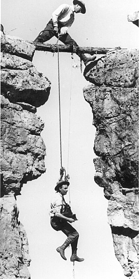
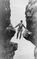 They were not only intrepid explorers and photographers, they were also not above instilling a little humor in their pictures. Case in point is this 1910 photo showing two tourists working their way back up Bright Angel Trail (click to enlarge).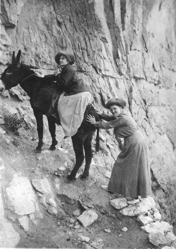
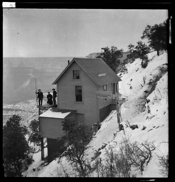
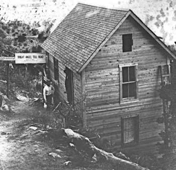
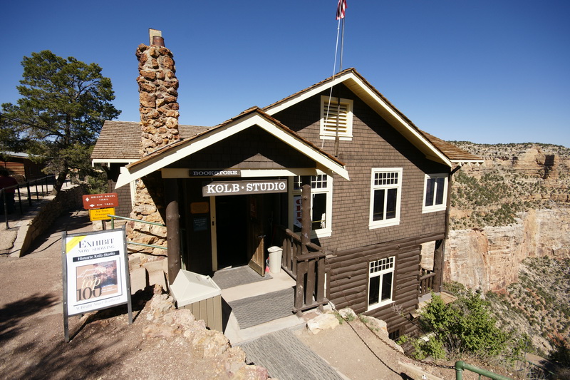
The Kolb brothers built their studio in 1904 and operated it at the head of Bright Angel Trail for 75 years. Everyday they would take tourist photos, run down 5 miles to Indian Gardens where there was water for developing, then run back up in time to meet the customers at the end of the ride. They expanded in 1915 and began showing a 1/2 hour movie of their 1911 101 day trip down the Colorado River. It was shown every day from 1915 to 1976 making it the longest, continuously running movie in American history. It is currently available for viewing on line. The photos are from 1904 and 1912 showing the studio which today is a gallery and bookstore.
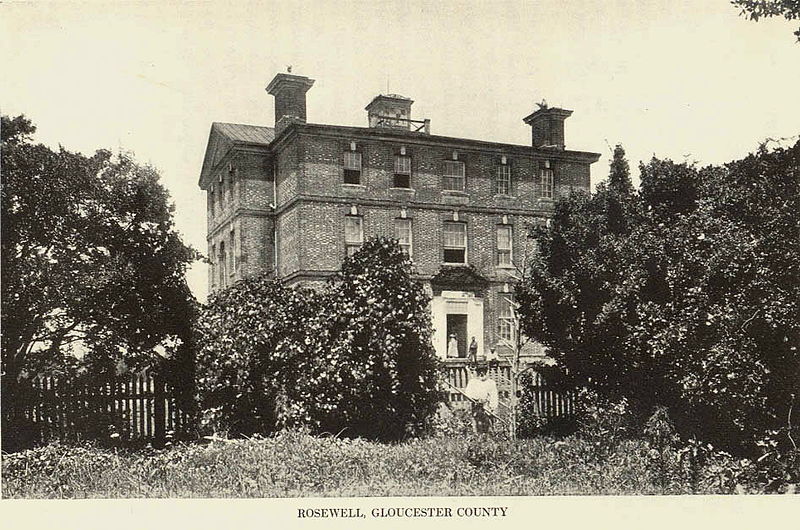
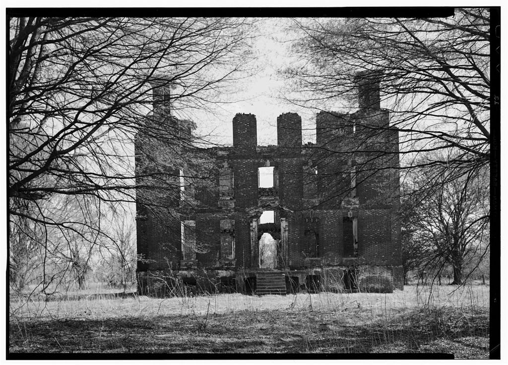
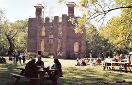
Rosewell is our third and final Virginia plantation. Located across the York River from Williamsburg, Rosewell was built from 1726 through 1737 by the Page family, who held on to it for more than 100 years. Thomas Jefferson wrote a rough draft of the Declaration of Independence there. Yet perhaps no other plantation has had the fall from grace as did Rosewell. From the largest and finest home of its day, where it hosted balls and became the center of horse racing, it later was stripped of everything of value and remained a ghostly ruin. It was all but abandoned in the 1830s, enjoyed some resurrgence in the 1850s but never recovered from the Civil War.The final indignity came in 1916 when a fire lasting two weeks consumed all but the shell. The 1891, 1900 and undated photos show Rosewell in decline.
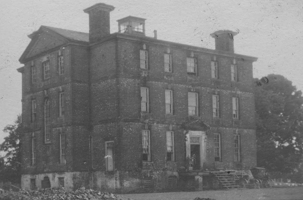
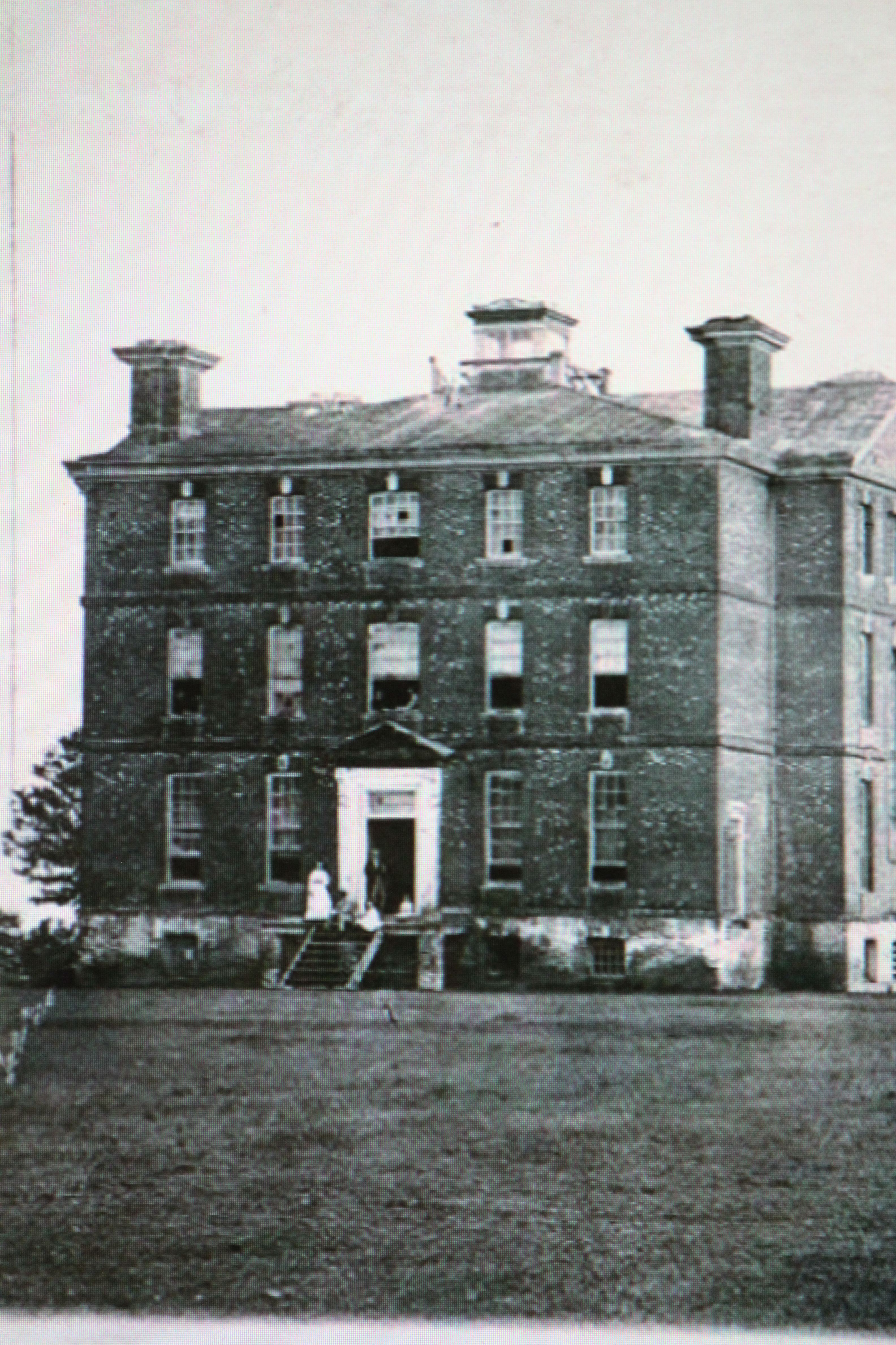
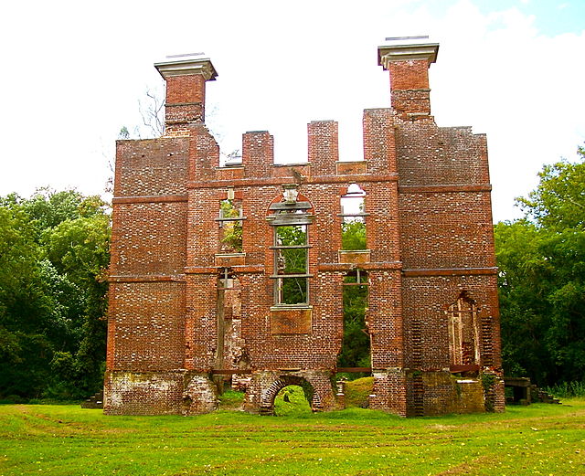
Compare the ghostly photo dated 1935 with the current one showing it’s use for various social occasions.
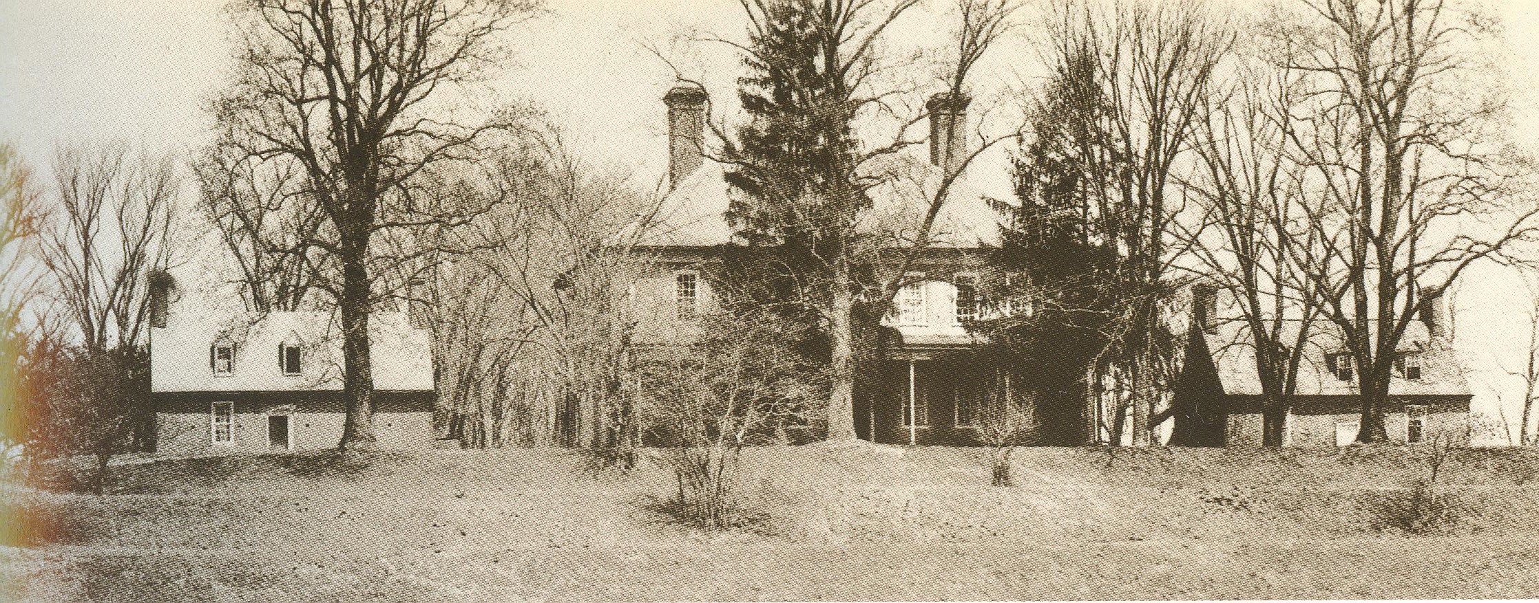
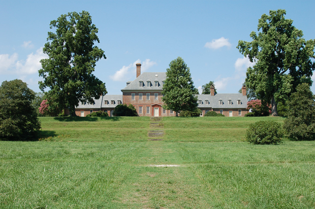
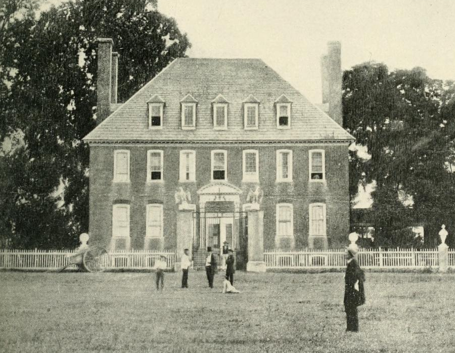
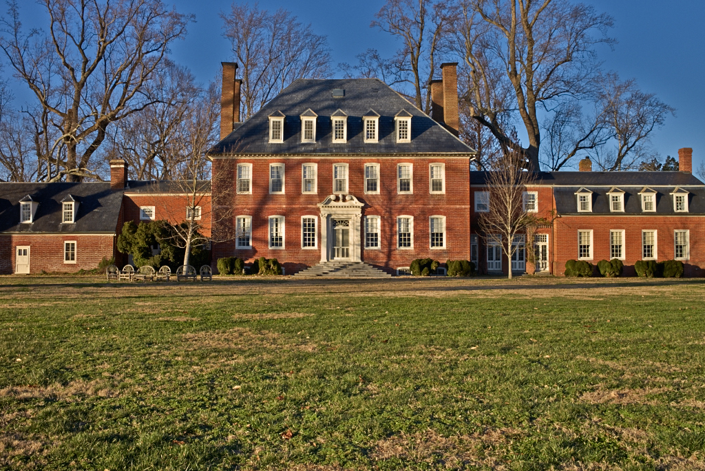
Also located near Williamsburg, Westover, like Carter’s Grove , is considered to be one of the finest examples of Georgian architecture in the country. However, their two histories cound not have been more different. Westover has enjoyed a stable and continuous ownership with few structural changes. It was originally thought to have been built in 1730 by Wm. Byrd II, but recent tree ring dating on boards from the house put construction at ca 1750 and, therefore, it was built by Wm. Byrd III. Westover was occupied by Union troops during the Civil War as can be seen in the 1862 photo. During the war, Confederate cannon fire missed Union troops and destroyed the east dependency with its 4,000 books. People enjoyed the river view from the front door as seen in the 1897 photo.Two years later Westover was modernized by a Byrd decendent who joined the west and rebuilt the east dependencies. Notice how similar Westover looks in the 1903 photo and the current one. Click all photos to enlarge.
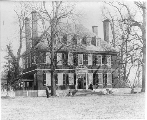
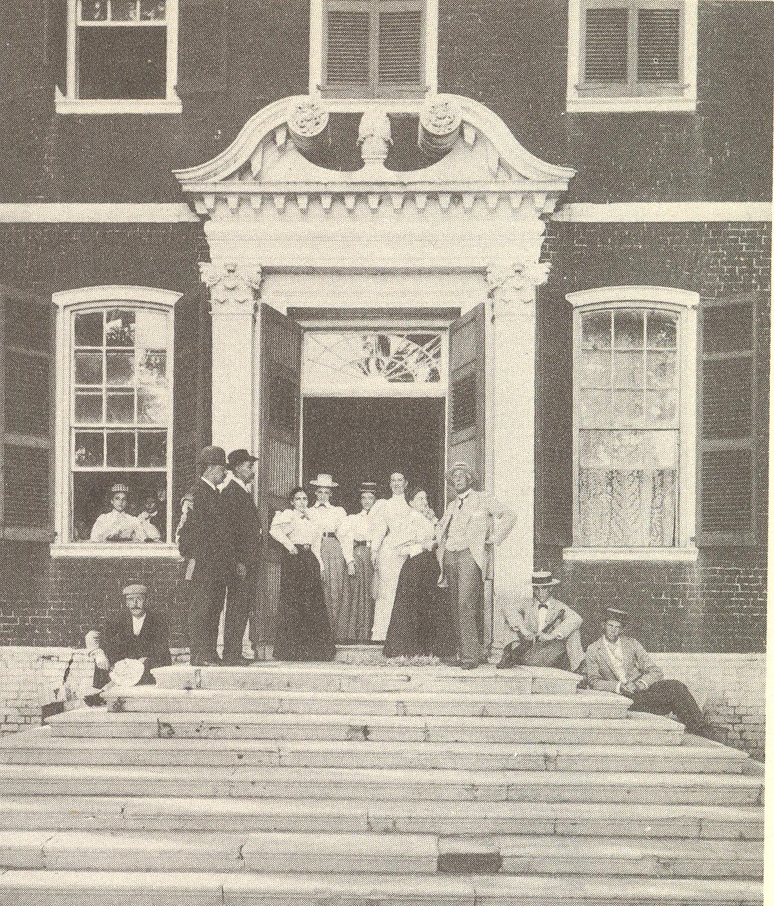
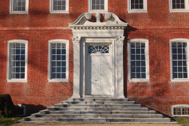
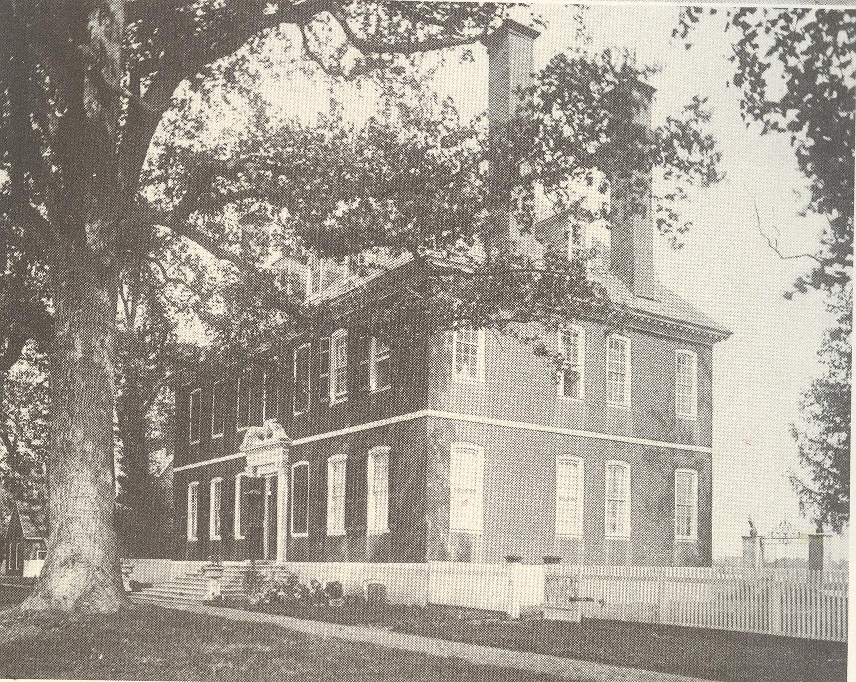
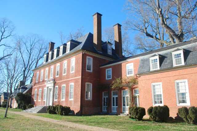
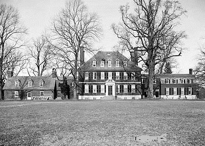
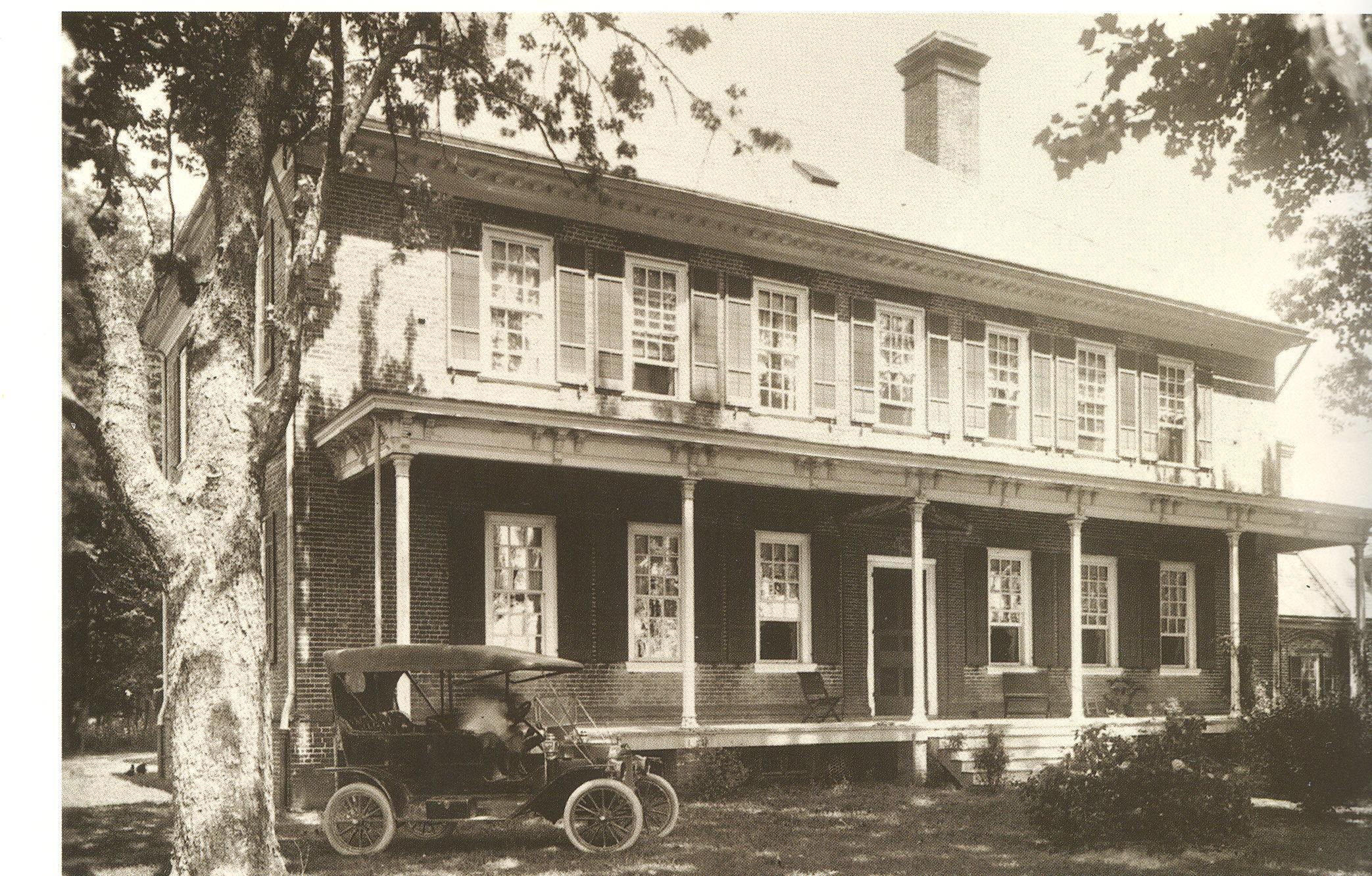
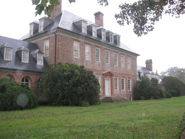
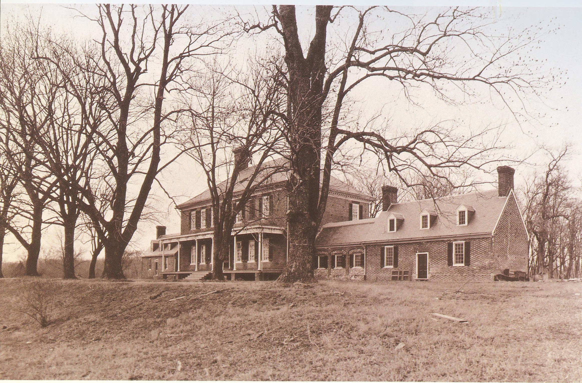
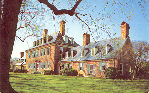
Located on the James River a few miles southeast of Williamsburg, Carter’s Grove sits on 476 acres. Construction of the 18,700 square foot home started in 1738 and took fifteen years to complete.It was built by Carter Burwell, who died one year after moving in, a foreshadowing of what was to be a tumultuous history.Major changes ocurred to the home in 1879 with the addition of elaborate porches to the river and land sides of the house. In the early 1900s the dependences were joined to the house and, shortly after that, it began to fall into disrepair by absentee owners. It was saved by the McCrea family who , in 1928, made major changes to the dependencies, raised the roof seven feet and removed the porches. It was purchased by Colonial Williamsburg in 1964. The first photo is from the early 1900s, the third is undated, and the fifth is from the 1920s.