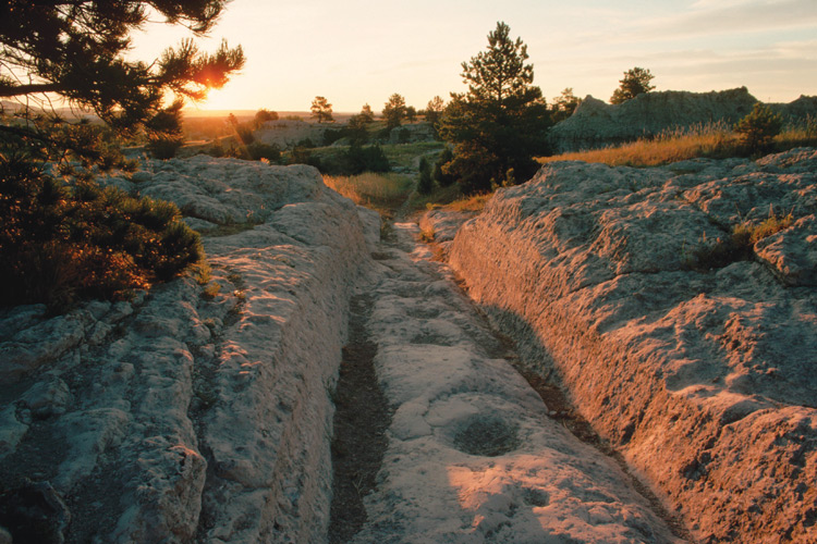
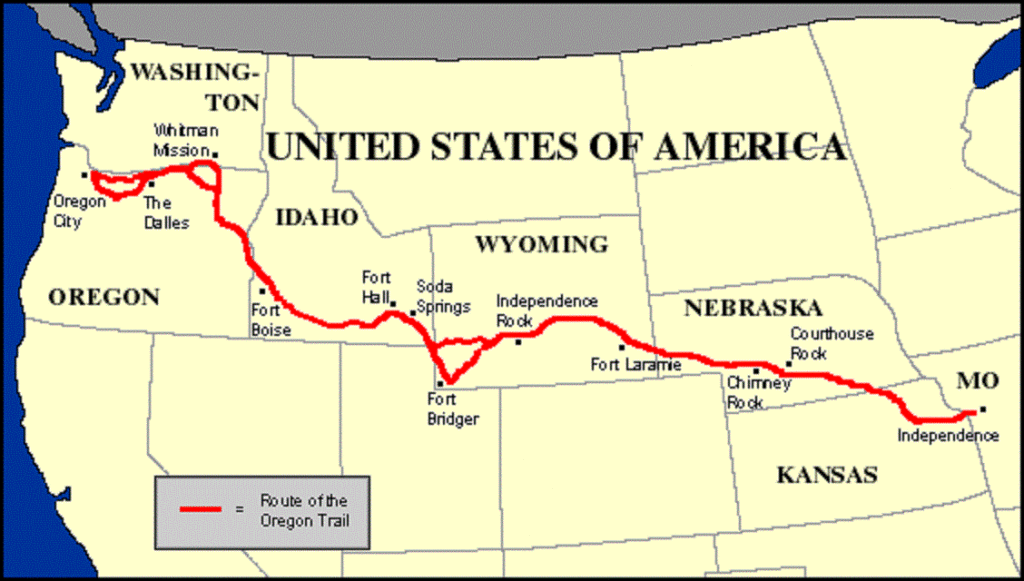
The Oregon Trail was a 2,170-mile-long pathway that started mostly in Independence Missouri and ended in Oregon . From 1840 to the late 1860s nearly 400,000 people migrated westward. About 80,000 stayed in Oregon while many others took the cutoff to California. The average trip was 160 days in 1849, then dropped to 140 days ten years later. Each wagon train consisted of anywhere from twenty to fifty wagons. They were helped along the way by various landmarks, as seen on the map below.
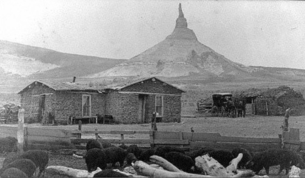
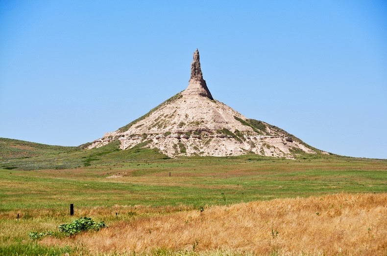
Chimney Rock
Chimney Rock is located in Nebraska and is seen here in a 1908 photo.
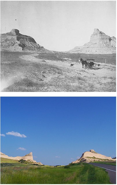
Mitchell Pass/Scotts Bluff
Mitchell Pass and Scotts Bluff are also located in Nebraska. The combined photo showing the landmark in 1914 is provided by the National Park Service.
Several forts along the way greatly aided the travelers. See this blog December 2018 for a look at Fort Laramie.
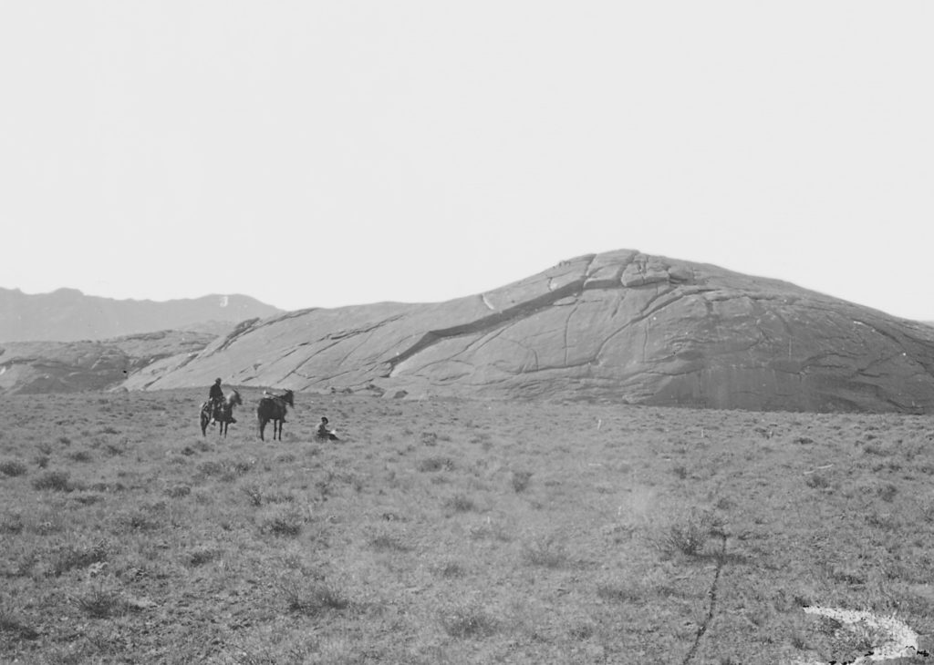
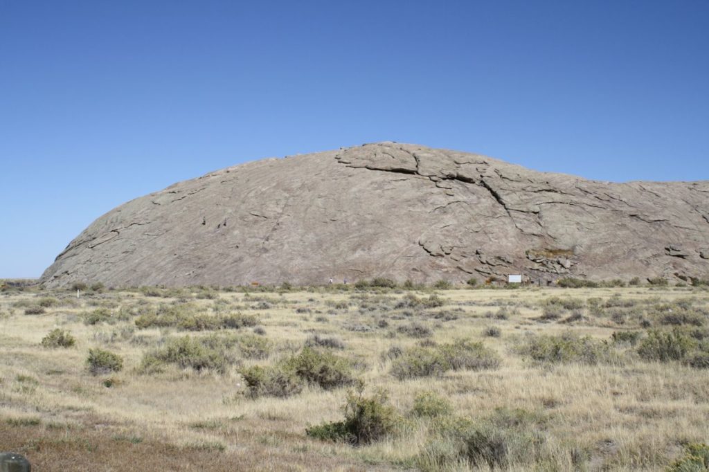
Independence Rock
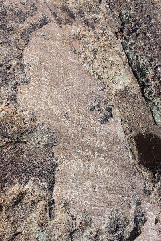
Located in Wyoming, Independence Rock can be called one of the early forms of graffiti in the U.S. because many of the travelers carved their names in the soft rock. The first photo, dated 1870, is by William Henry Jackson.
Bessemer Bend
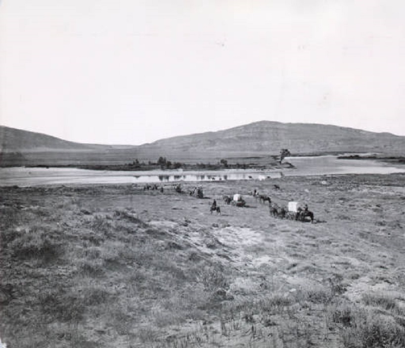
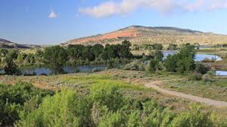
Bessemer Bend in Wyoming was easily recognizable because of the Red Buttes behind it. The first photo, also by Jackson, is dated 1872.
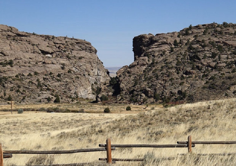
Devil’s Gate
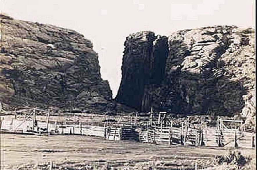
The last Wyoming landmark was Devil’s Gate, seen here in an 1880 photo.
The end of the Oregon Trail was wherever one stopped, but there are three well-known destinations. The first is The Dalles, Oregon, where those who did not want to float the Columbia River or take the arduous land route over the Barlow Road settled. Those who did move on ended up in Oregon City (site of the End of the Oregon Interpretive Center) or in Puyallup, Washington, which has a stone monument also commemorating the Trail’s End. The Trail also ended with the completion of the Trans=Continental Railroad in 1869. However, ruts along the way are still visible in many locations.
