Harpers Ferry is a small, (pop.285), historic town at the confluence of the Shenandoah and Potomac Rivers. During the Civil War, it was the northern most point of Confederate controlled territory and was the site of John Browns Raid in 1859. Most of the town was destroyed in the Civil War and was again extensively damaged in the Flood of 1936. The area known as Lower Town was rebuilt by the National Park Service which then created Harpers Ferry National Park. The Park encompasses much of the town and surrounding area as seen on this map.
Appalachian Trail hikers consider Harpers Ferry the halfway mark on the 2,190 mile trek.
Major sites in the area include:
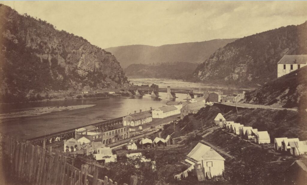
Town View from Overlook Cliff (Maryland side) Photo dated 1861.

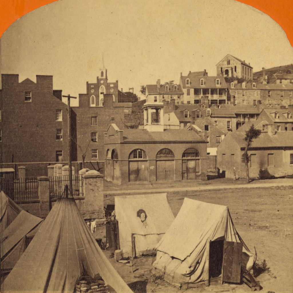
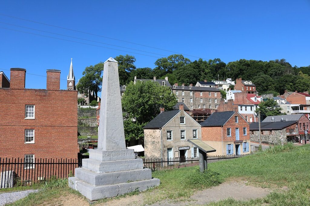
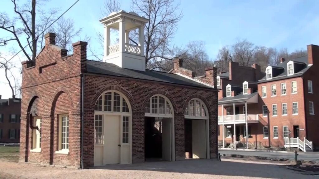
An in-town view showing John Brown’s Fort in 1862. Originally built as a firehouse, the building was relocated across the street in 1968, and a monument was erected on the former location. Note the same red building appears in all three photos. For more information on the building, see this blog March 2017.
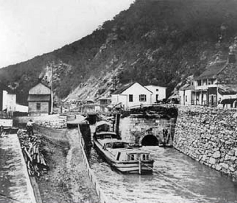
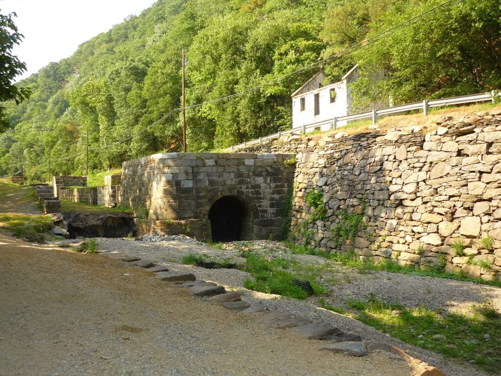
Lock 33 on the C&O towpath located directly across the Potomac River from Harpers Ferry at the base of Maryland Heights. The first photo is dated 1900. Note the old lock house ruins in the second photo.
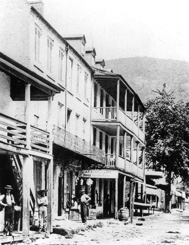
Lower Town in a photo dated 1880.