Braddock Point Lighthouse

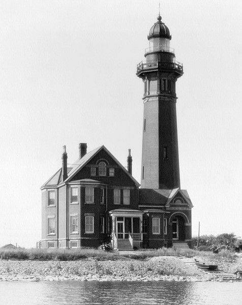
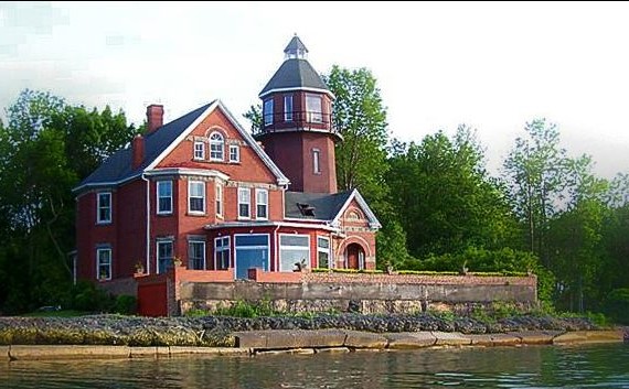
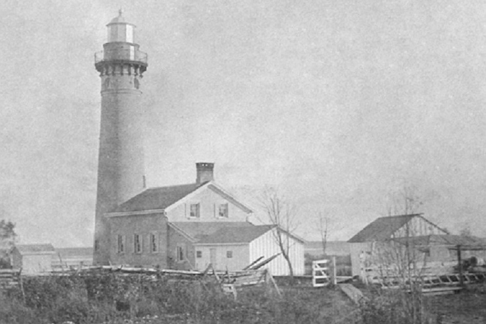
Located in Lake Ontario in New York, Braddock Point Lighthouse looks a lot like Presque Isle except the tower is twice as tall. It was finished in 1896. In 1926 a newspaper article estimated the keeper’s twice daily trips up and down the tower totaled about 700 miles during his 20-year tenure. In 1952 the tower’s top half had to be removed due to structural damage. The Lighthouse was a B&B from 2008-2016 and is now on the market for $1,500,000. The first photo is dated 1933.


Categories: Lighthouses--Great Lakes | Leave a comment

Split Rock Lighthouse

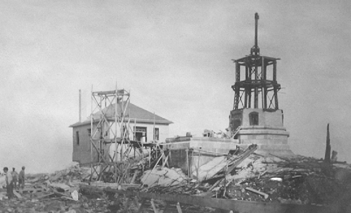
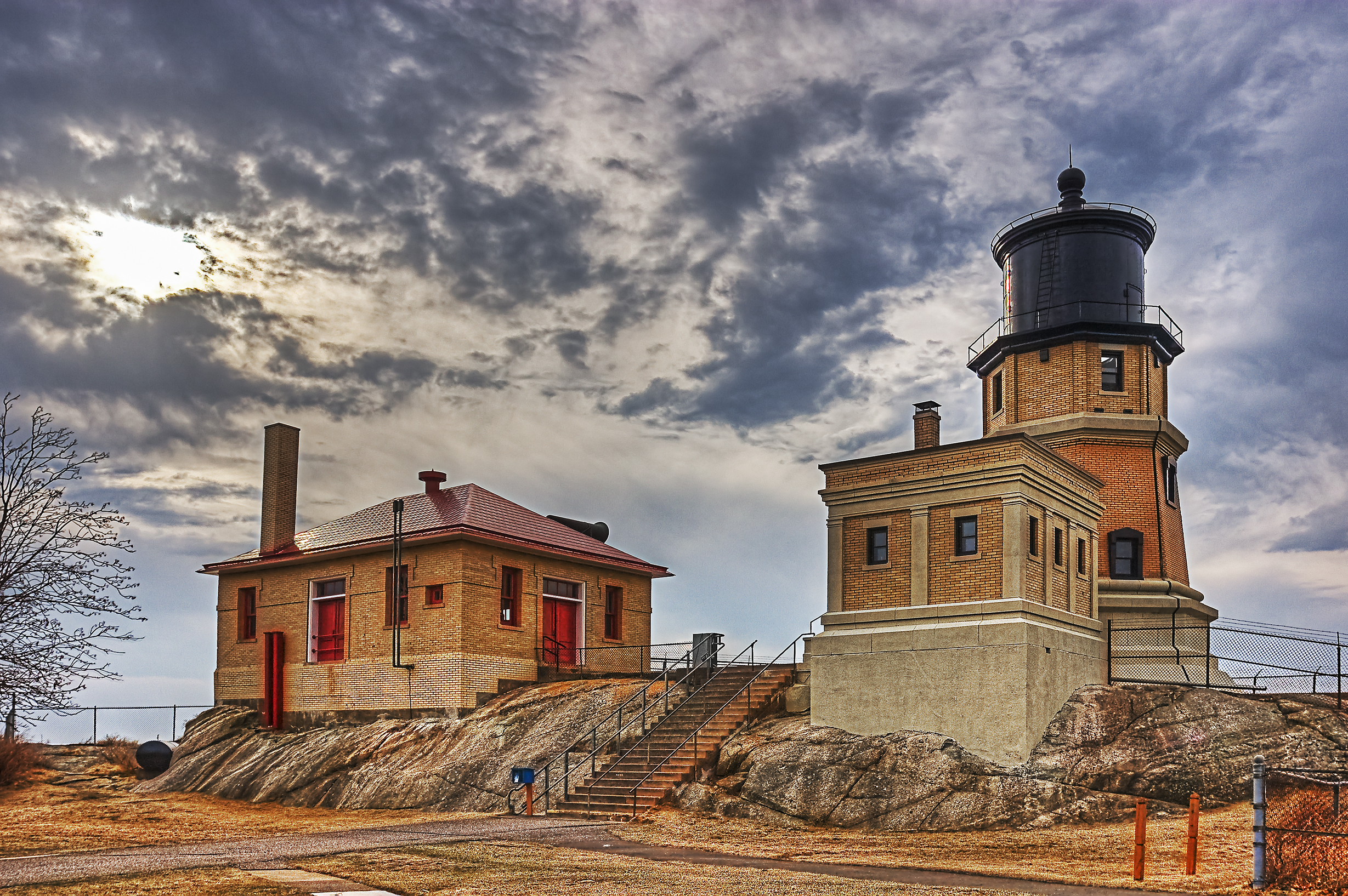
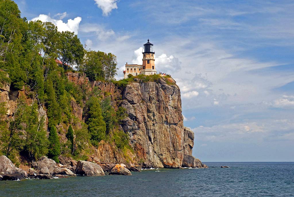
Split Rock Lighthouse is located in Minnesota on the west edge of Lake Superior. It was built in 1910 with all materials having to be brought in by boat. It was de-commissioned in 1969 and the site was  donated to the Minnesota Historical Society, which restored it to its 1920 appearance. Split Rock Lighthouse is the most popular historical site in Minnesota, averaging 116,000 visitors annually. The first photo shows it nearing completion.

Categories: Lighthouses--Great Lakes | Leave a comment

Cana Island Lighthouse

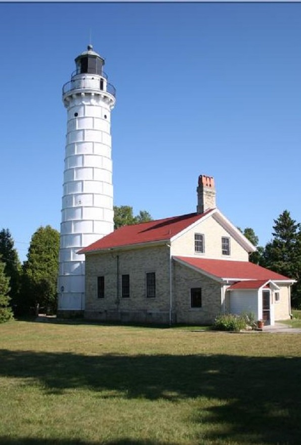
Built in 1869, Cana Island Lighthouse is located on a nine-acre site on Lake Michigan in Door County WI. It was frequently battered by severe storms, so much so that, after 16 years, one keeper left saying it was “one of the most inhospitable and undesirable places that can well be imagined.” In 1902 the tower was completely encased in steel plating. It is now the Door County Maritime Museum. The first photo is dated 1893.


Categories: Lighthouses--Great Lakes | Leave a comment

Old Mackinac Point Lighthouse

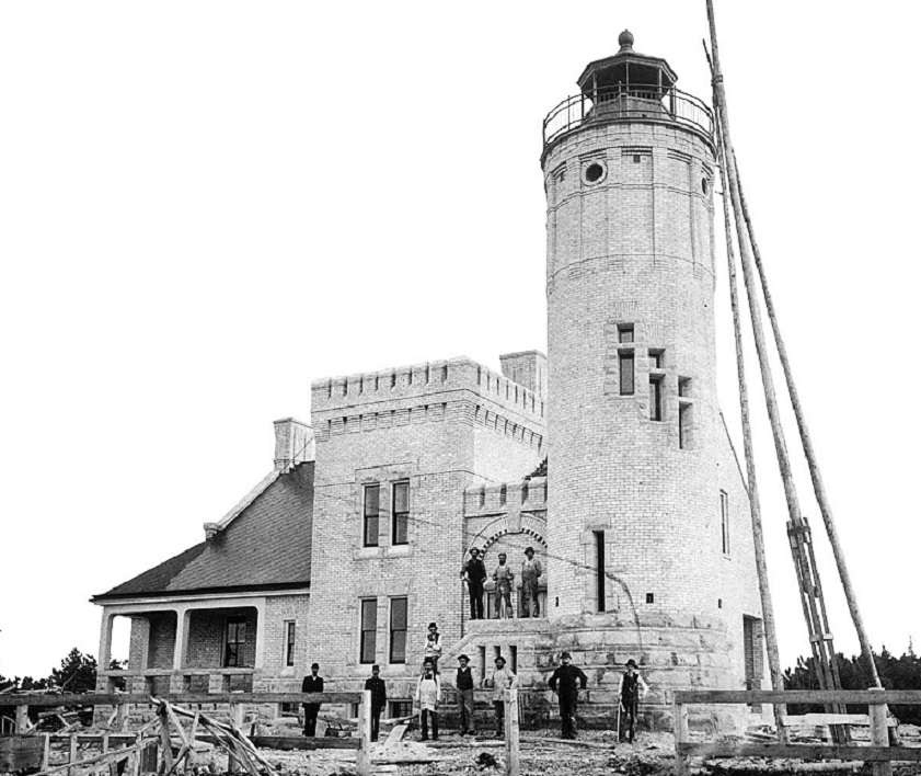
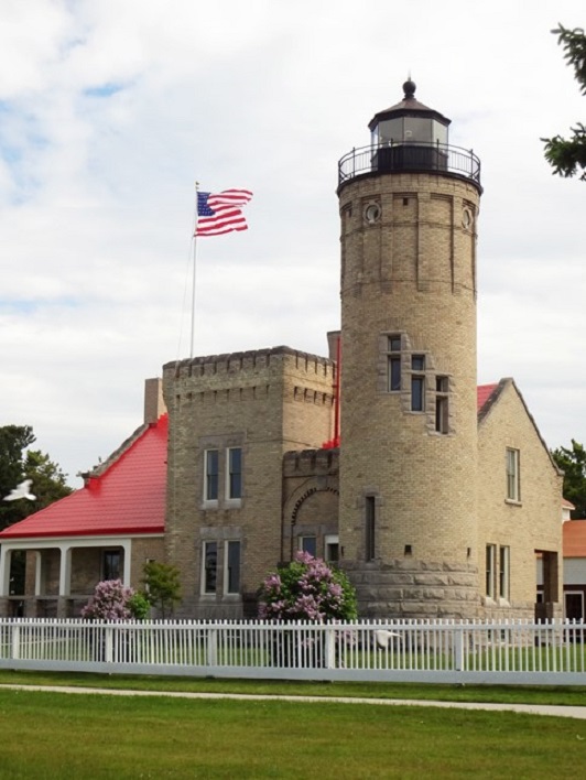
“Old Mac” was built in 1892 in Mackinaw City, MI. where Lakes Michigan and Lake Huron meet. Completion of the Mackinac Bridge in 1957 rendered the Lighthouse obsolete since the Bridge had lights. It is now a popular tourist attraction. The first photo shows it nearing completion.

Categories: Lighthouses--Great Lakes | Leave a comment

Poe Reef Lighthouse

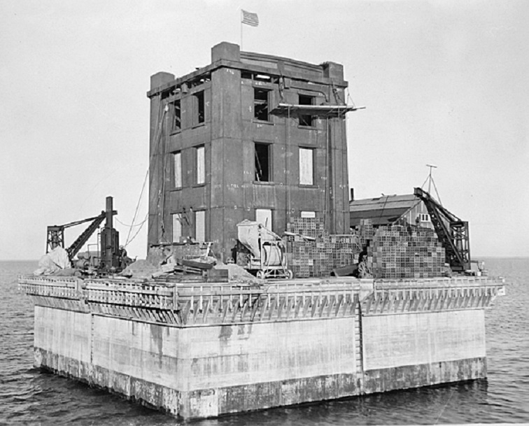
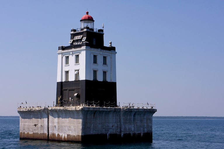
Although Poe Reef Lighthouse is located about 20 miles from Old Mackinac Point Lighthouse, it is much more remote. It lies completely in Lake Huron about two miles off shore. It was built in 1929 and frequently had waves hit its base sending water up as high as the 4th floor. It was decommissioned in 1974 and is up for auction —  opening bid $10,000. The first photo shows the Lighthouse nearing completion.

Categories: Lighthouses--Great Lakes | Leave a comment

Notice

I recently discovered an error in uploading photos which kept them from being enlarged dating back to February 2016. I have corrected this and all photos are once again enlargeable.

Categories: Uncategorized | Leave a comment

Williamsburg Virginia

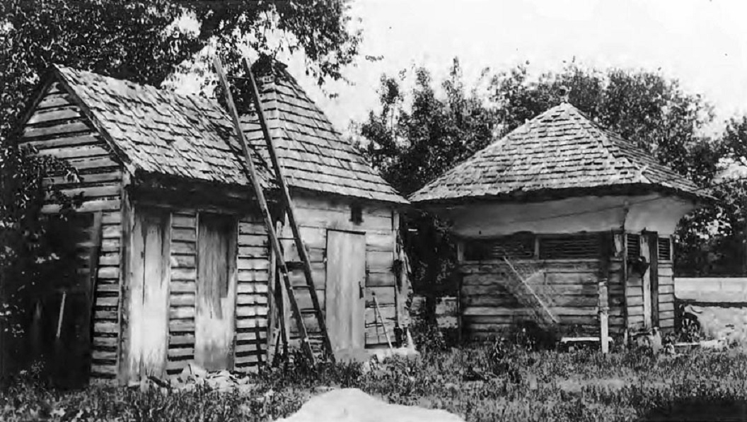
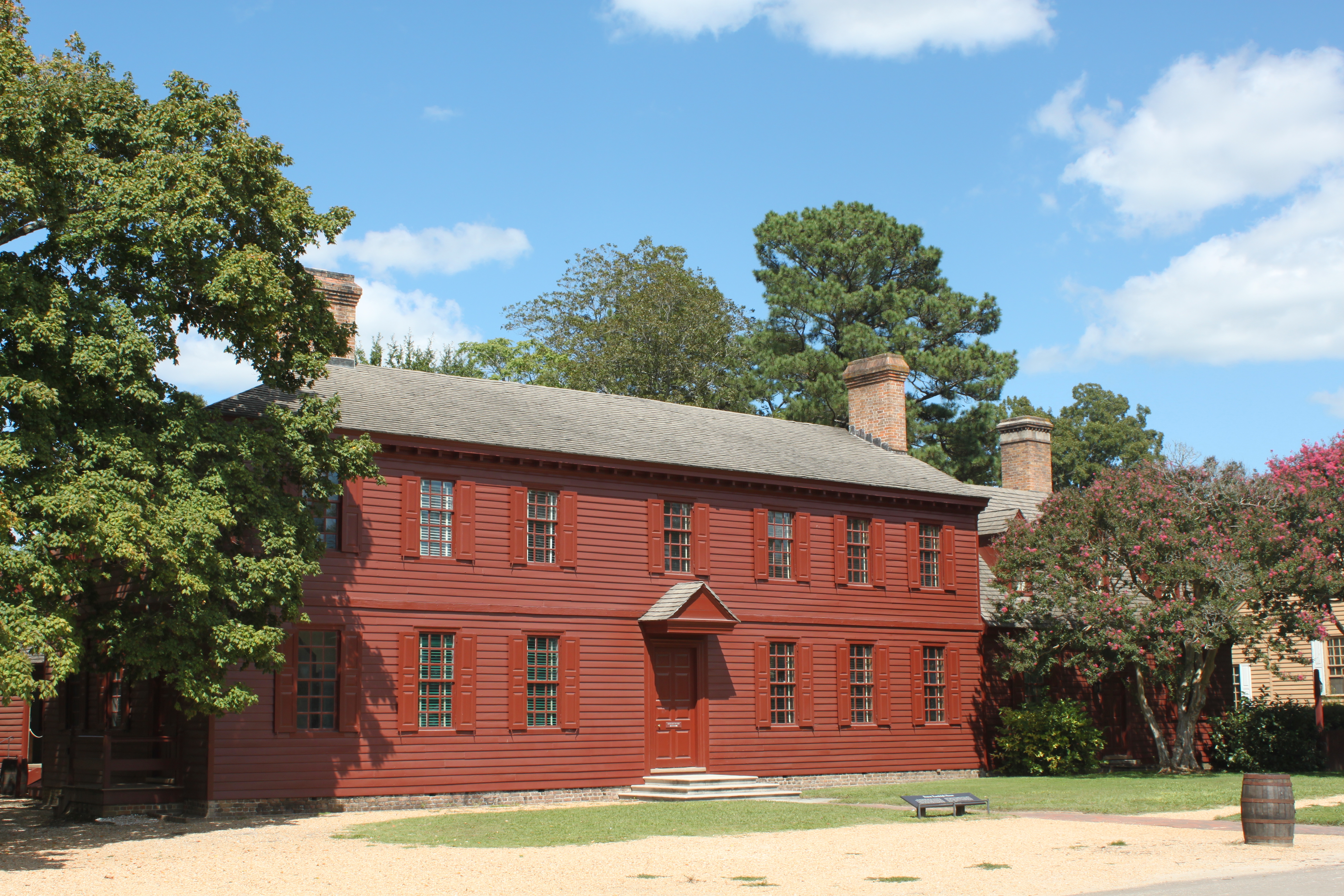
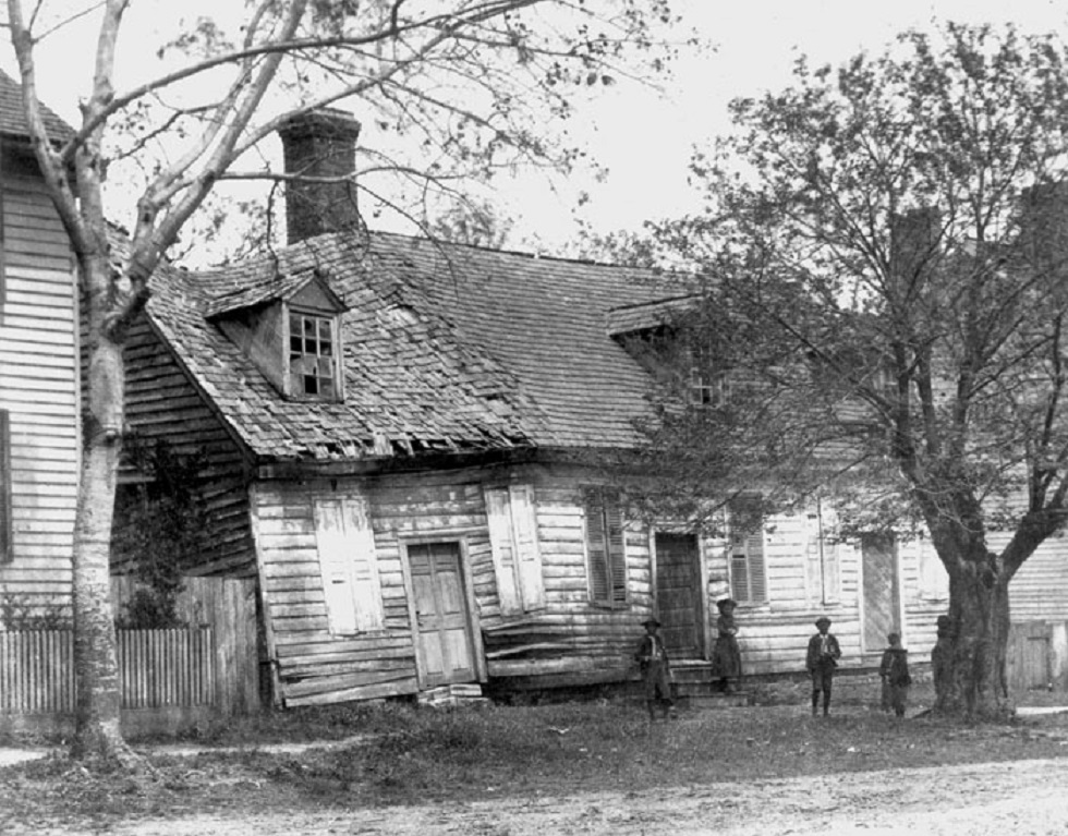
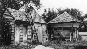
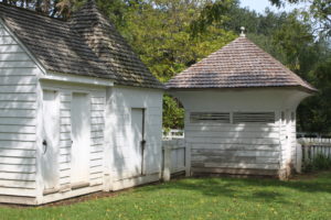
Here are three 18th century outbuildings at the Grissell-Hay house. From left to right they are a privy, a smokehouse, and a dairy. Judging by their appearance in this 1920’s photo, work began just in time. Restoration was done using almost all original materials.
 

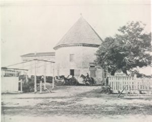
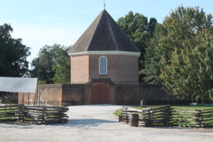
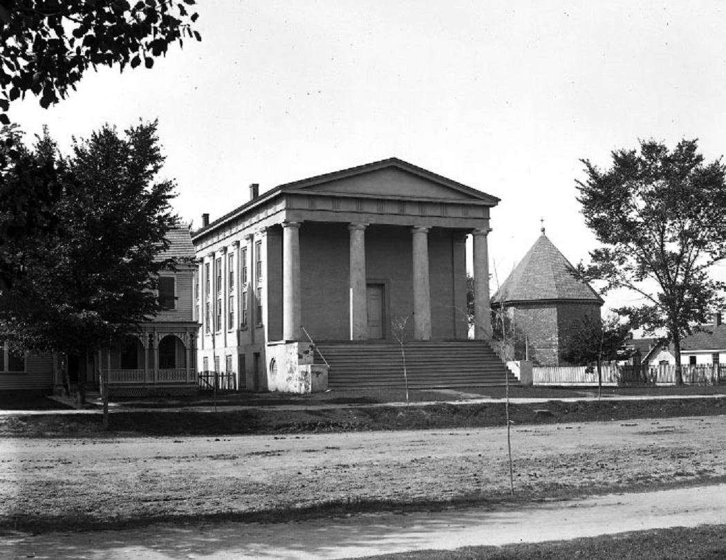
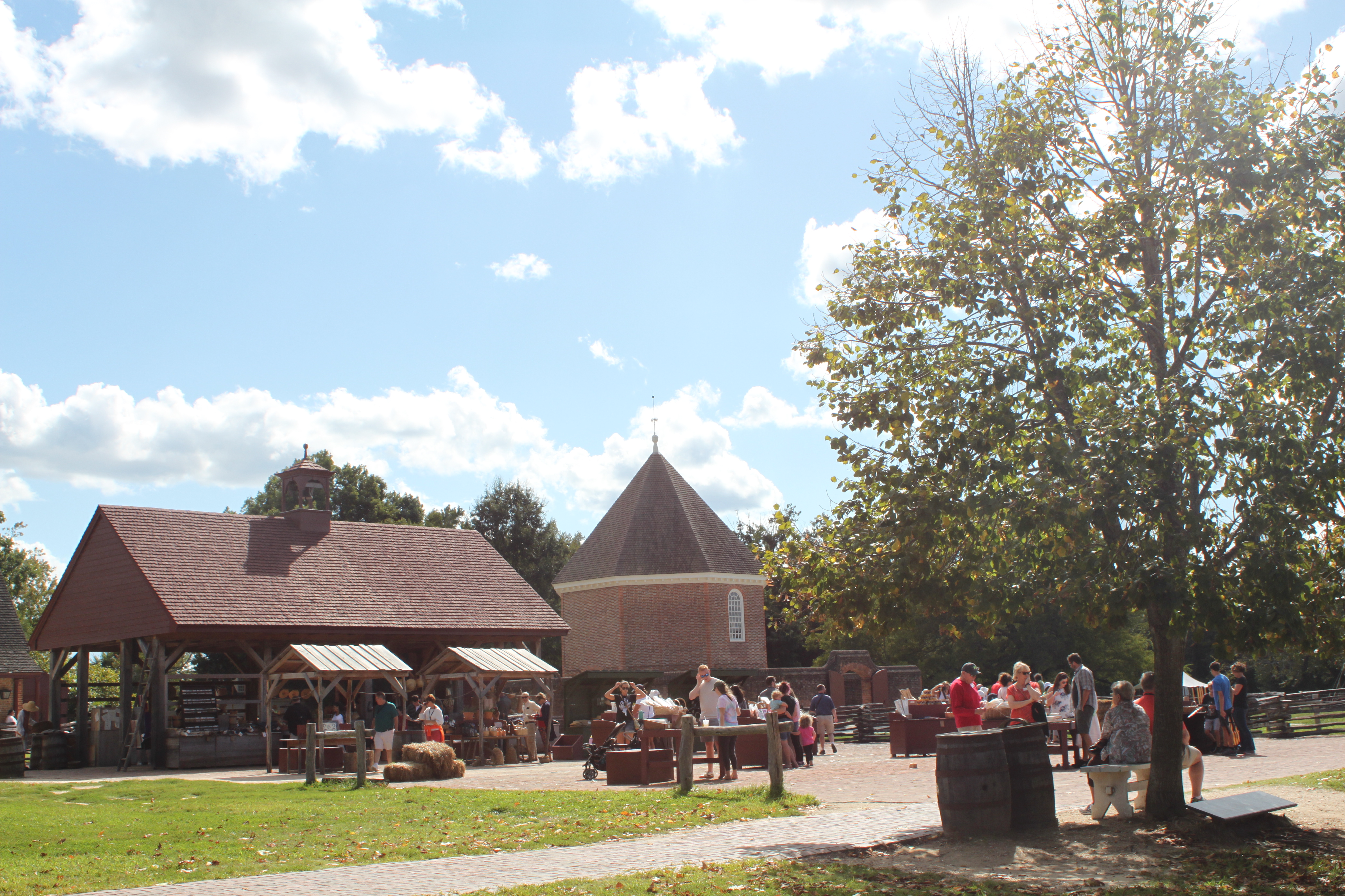
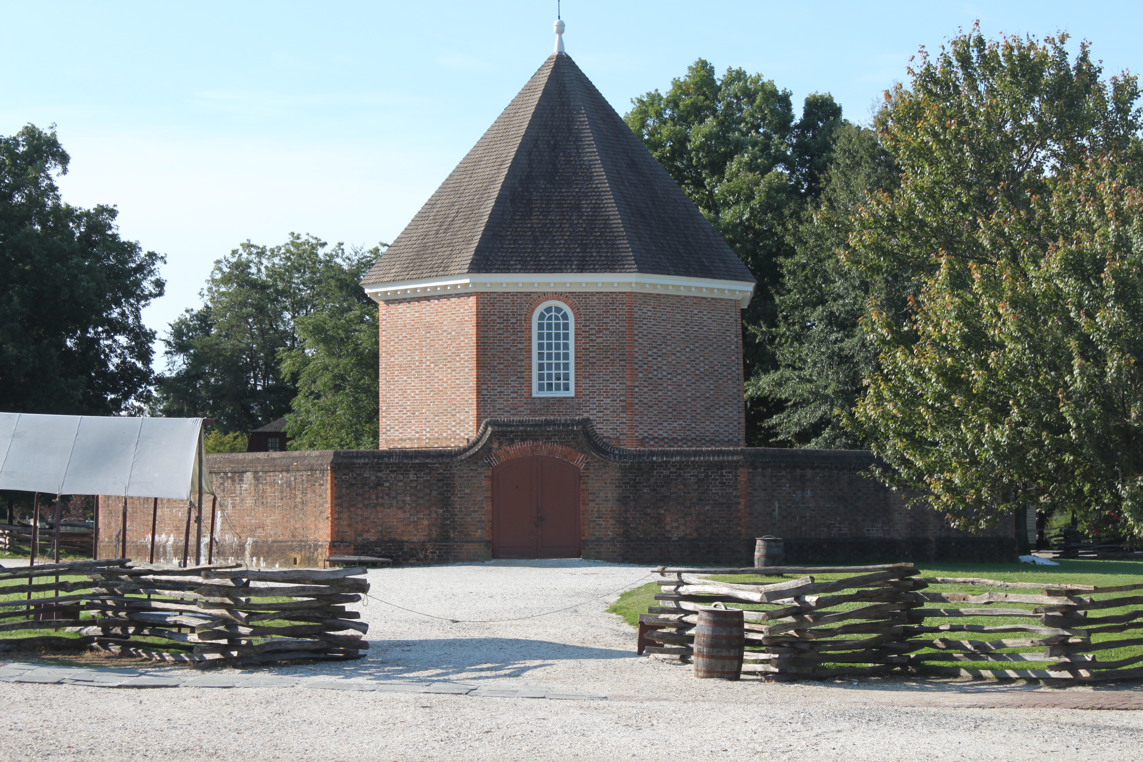
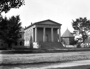
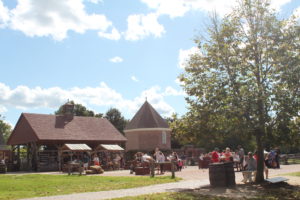
Built in 1715, the powder magazine stored arms and ammunition during Colonial times. It was later used for the same purpose by the Confederates during the Civil War. It was also a  dancing school, then a livery. The outer wall was demolished in 1856, just before restoration began, to make room for a Greek Revival church, seen in this 1934 photo.


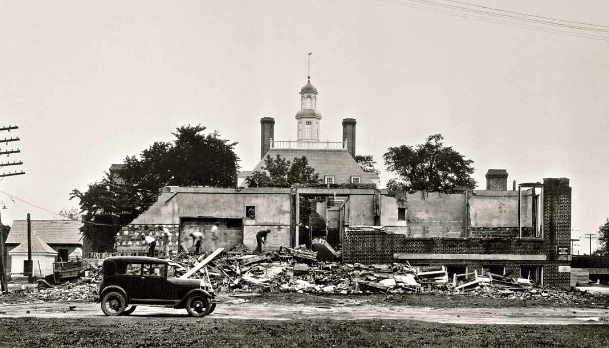
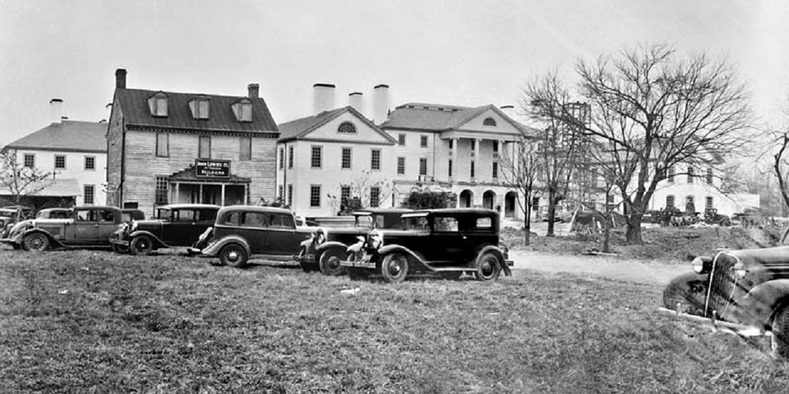
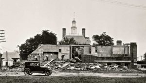
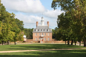
The Governor’s Palace was built in 1706 and burned in 1860. It was rebuilt on the original foundation in 1930 following demolition of a school shown in this photo.


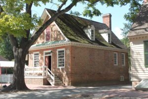
The Payton Randolph house was built in 1716 and was subsequently altered several times. Randolph was Speaker of the House of Burgesses  and President of the First Continental Congress. When Randolph died, Thomas Jefferson bought his extensive book collection, which, in turn, was purchased by the government and became the beginning of the Library of Congress. The first photo is dated 1870.

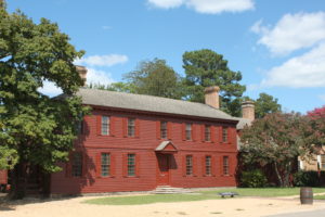


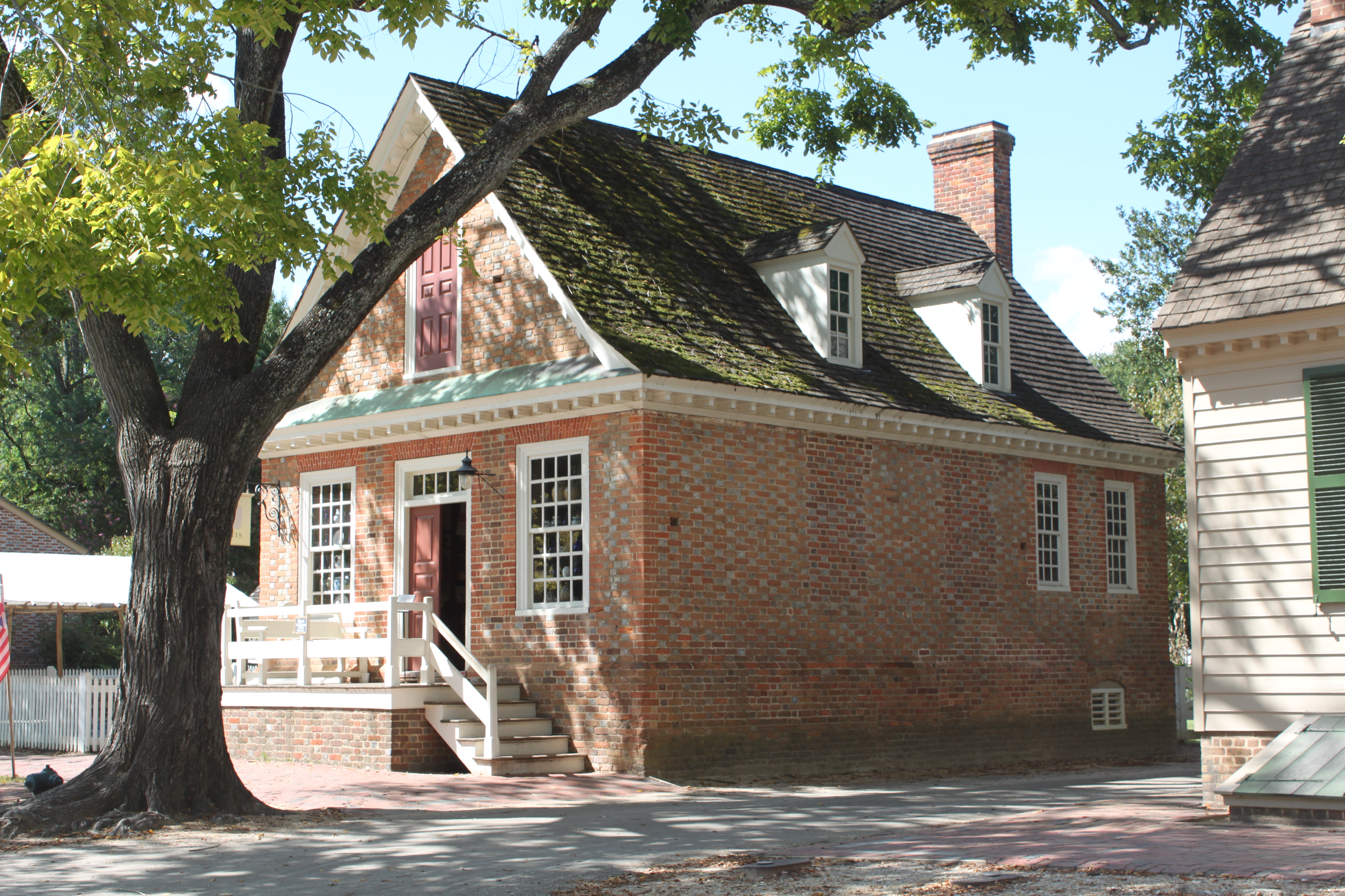
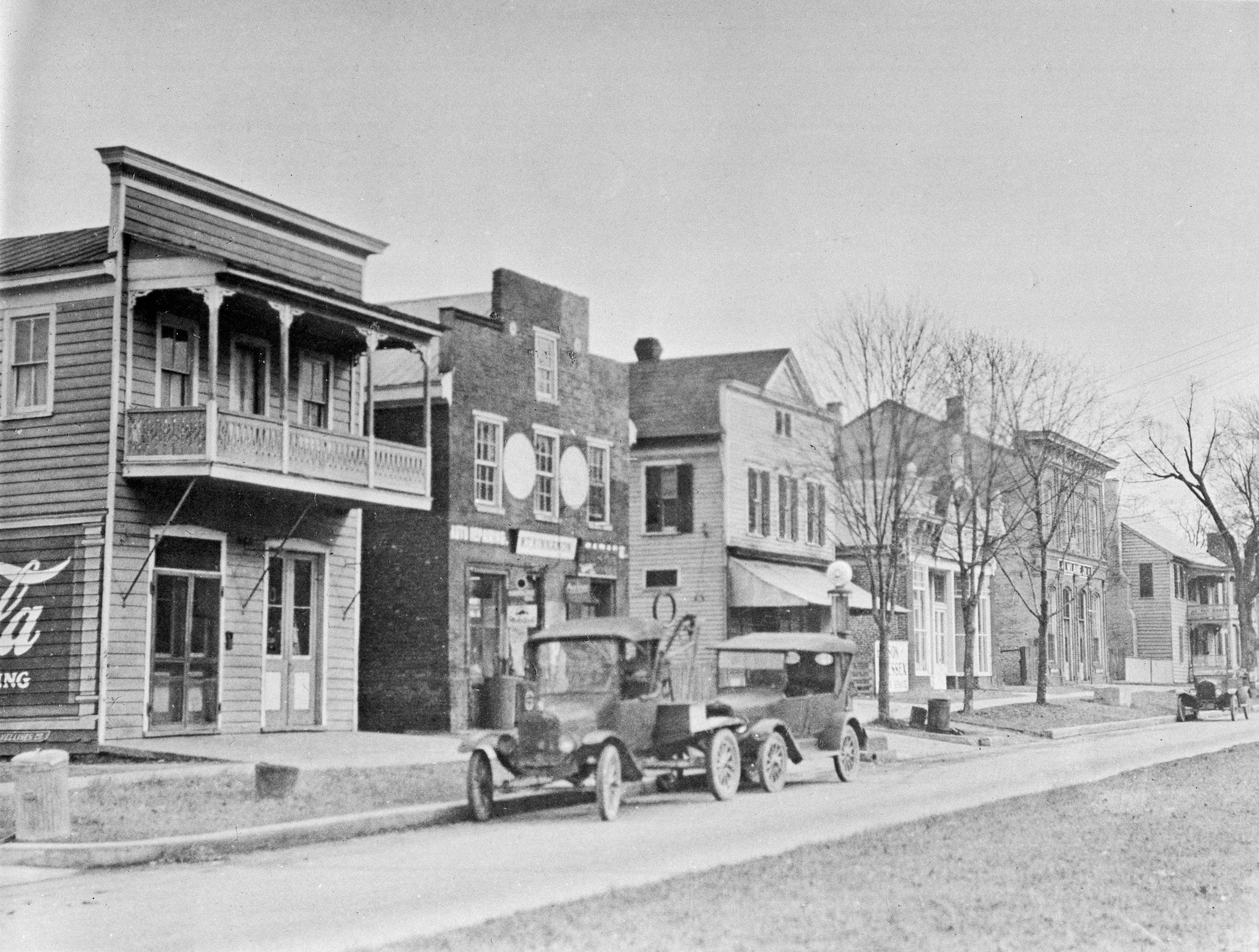
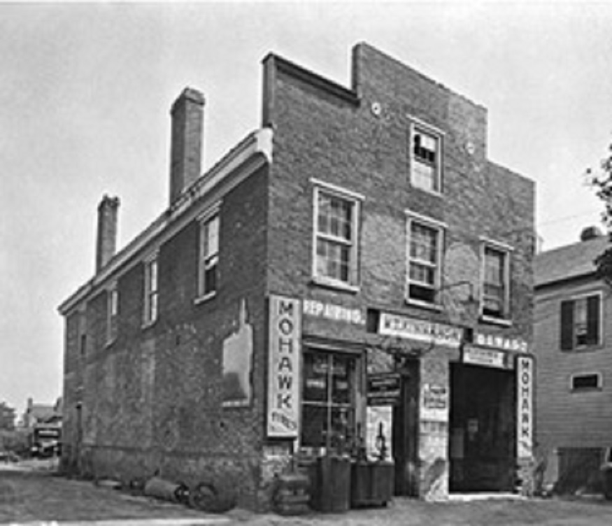
The Prentis store was built in 1739 and is the oldest surviving commercial building in Colonial Williamsburg. It was once used as an auto service station as seen in this 1927 photo.

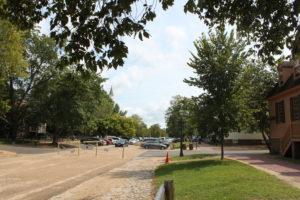
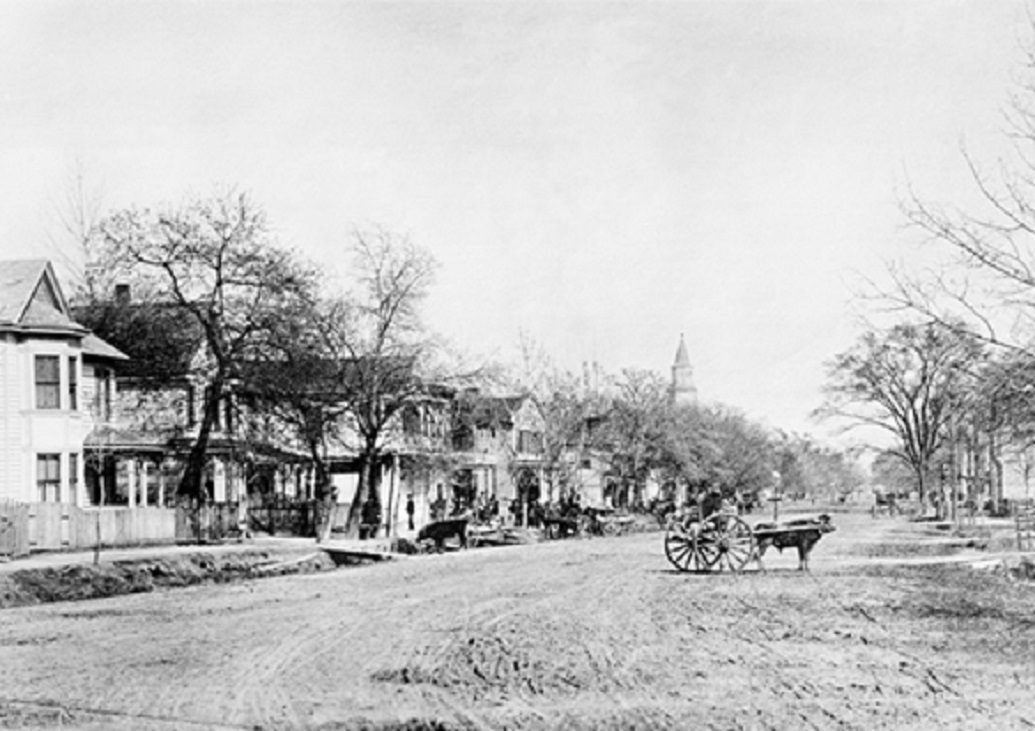
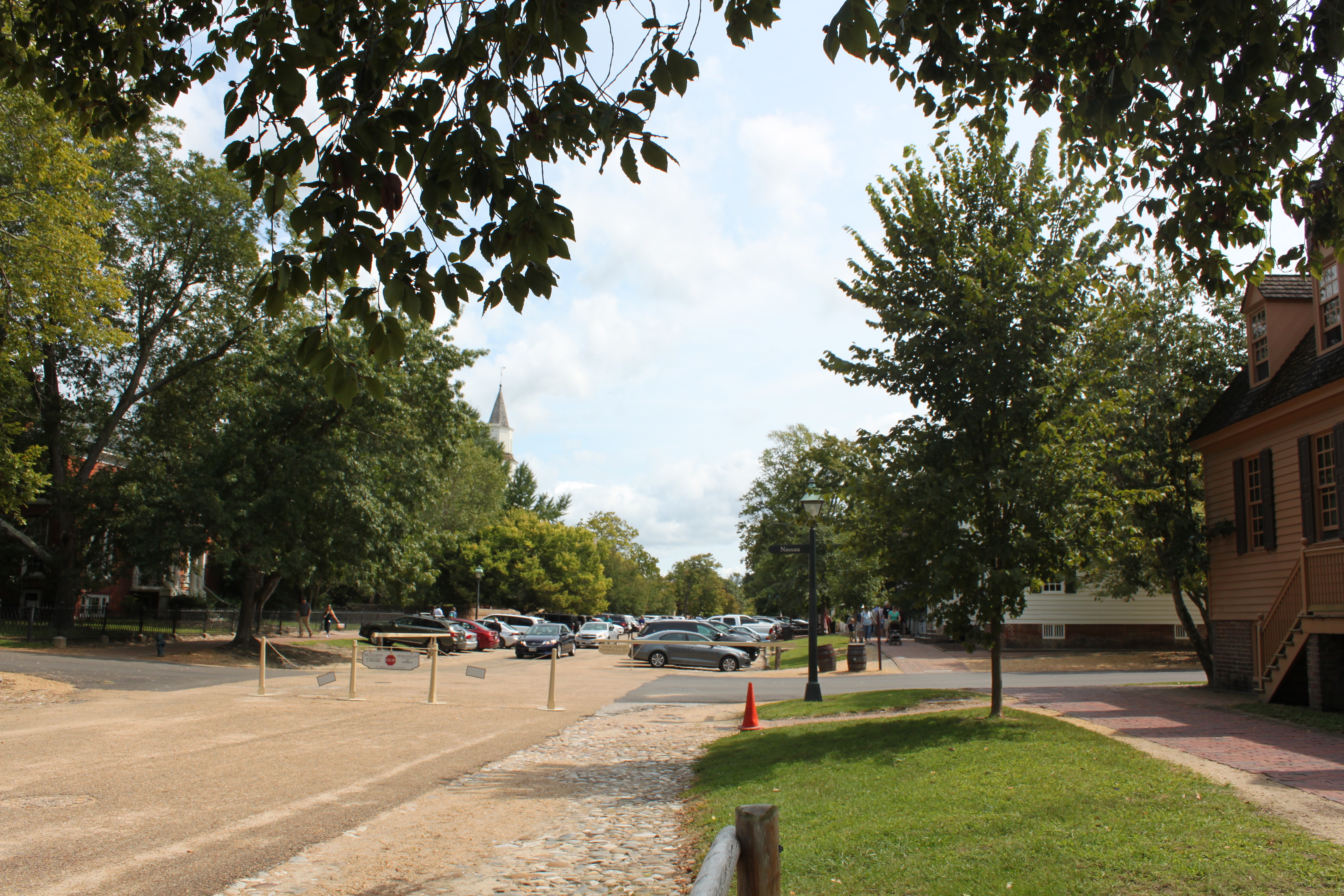
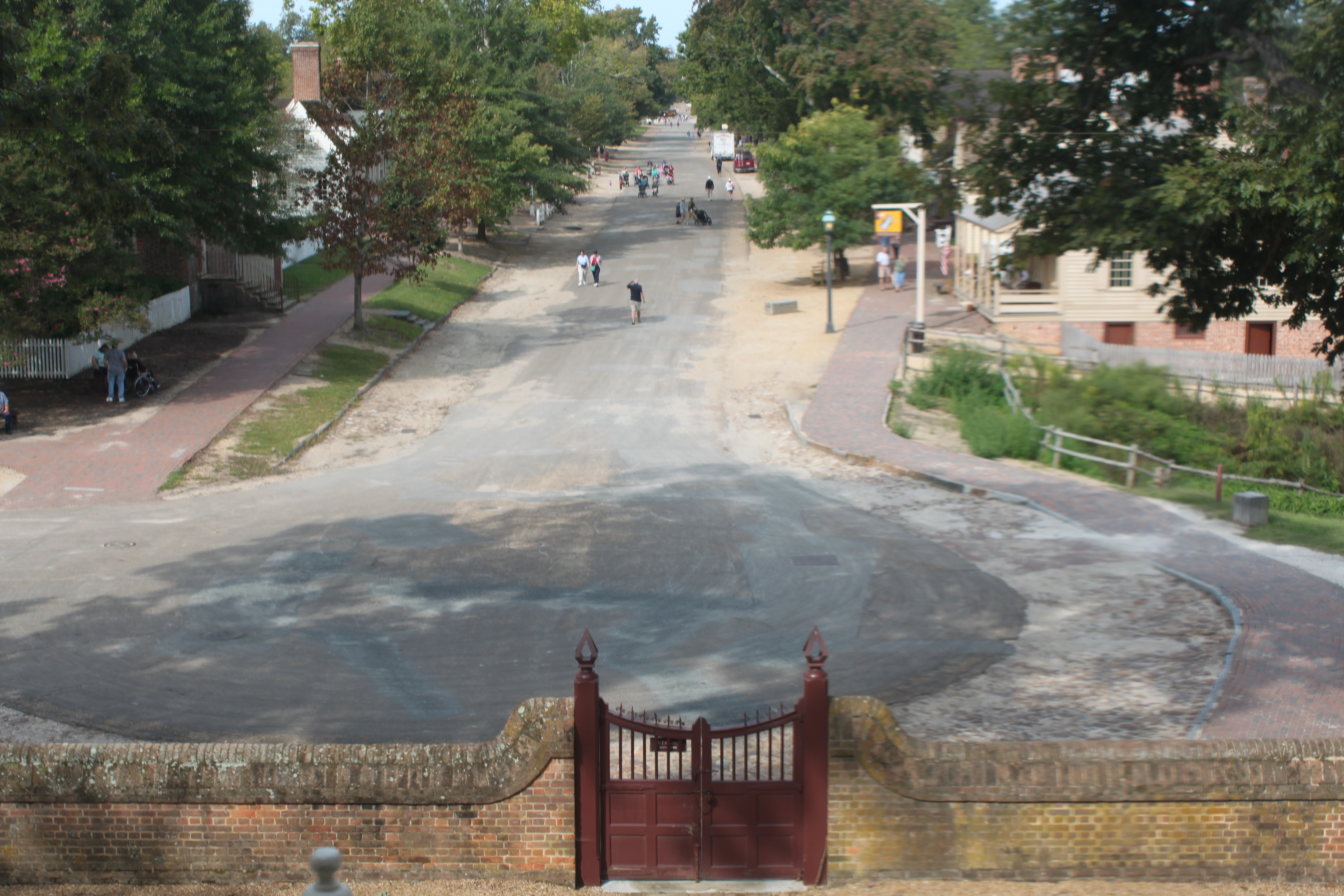
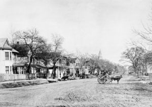
Here is a view of the Duke of Gloucester Street from the west end taken in the 1890s.


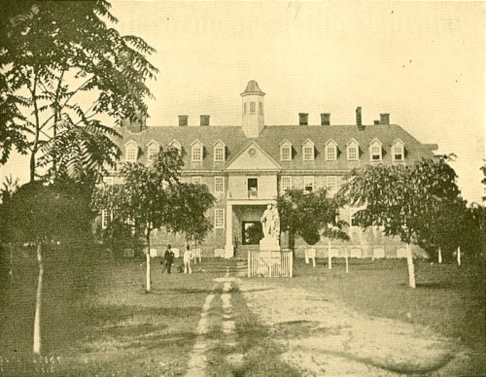
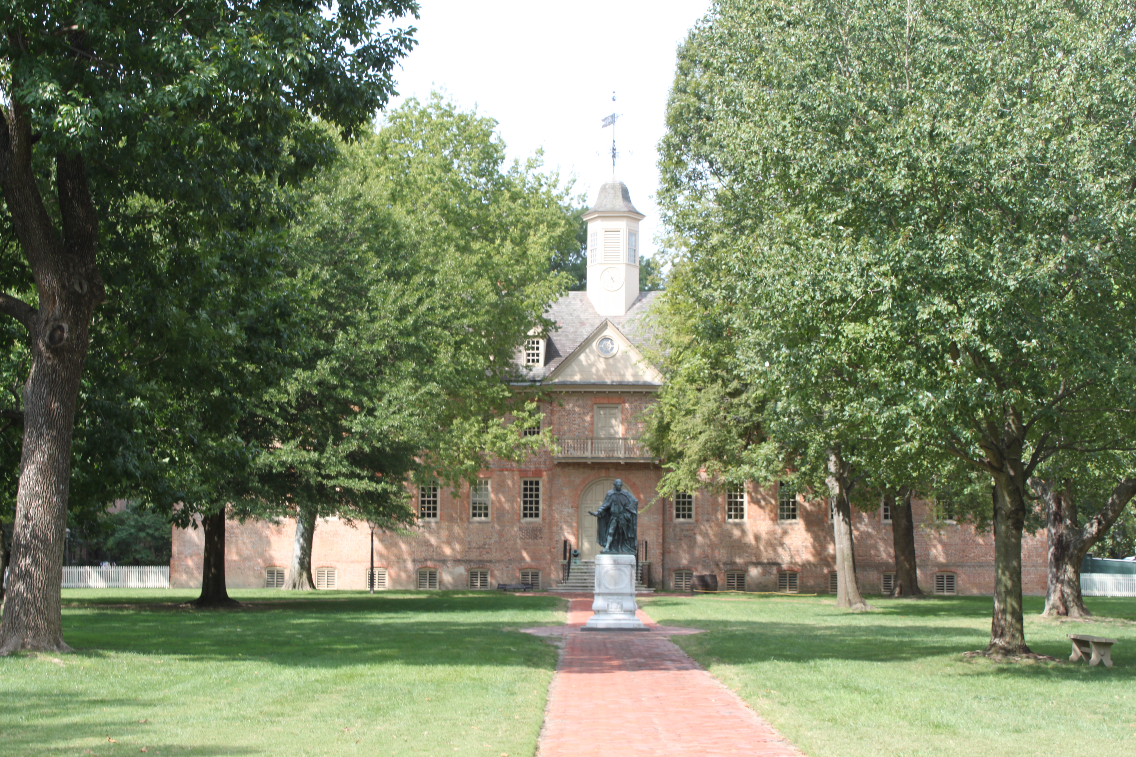
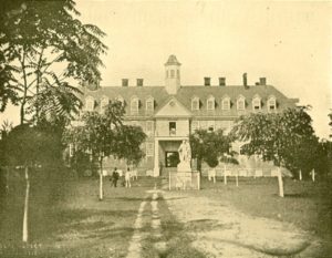
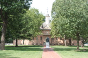
The Wren Building at the College of William and Mary was built in 1697. It is the oldest academic structure in continuous use in America. It had many alterations following severe fires in 1705 and  1859 as well as damage in the Civil War. Here is the earliest known photo of the Wren Building–an 1856 daguerreotype.


Categories: Uncategorized | Leave a comment

Williamsburg Virginia

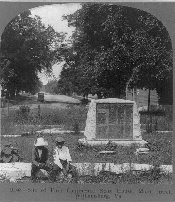
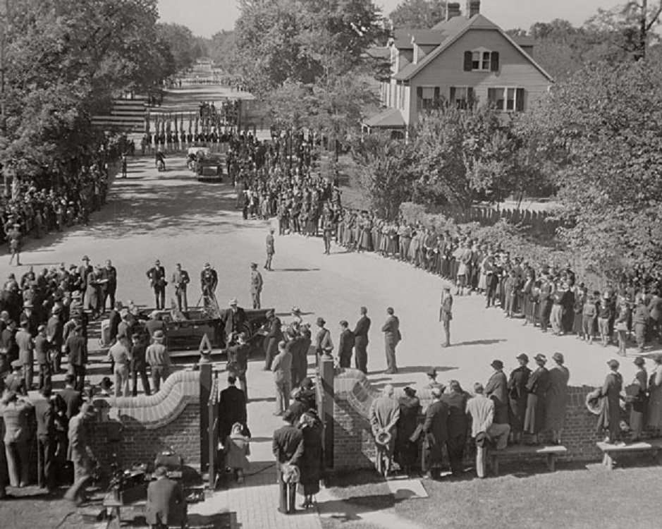
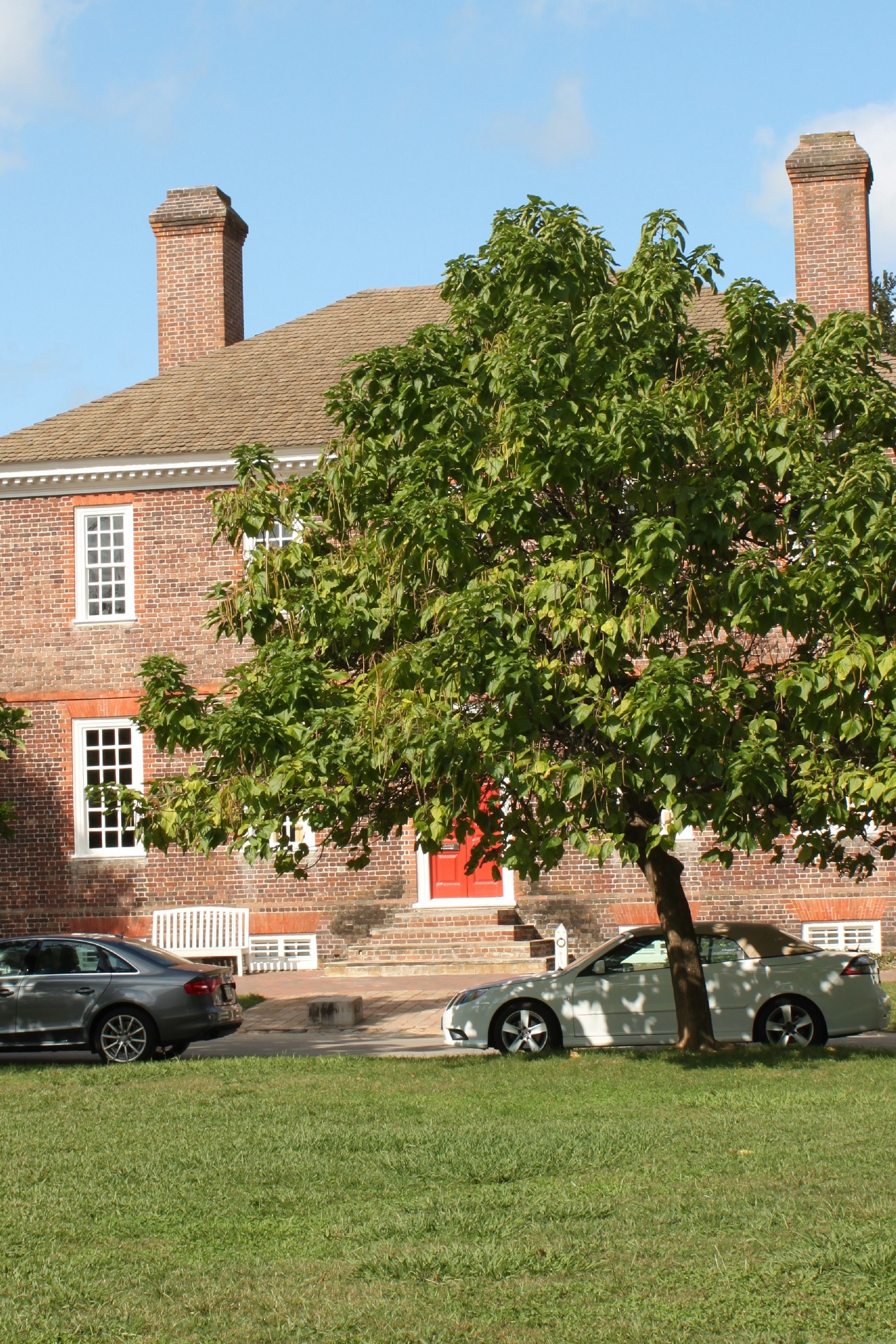
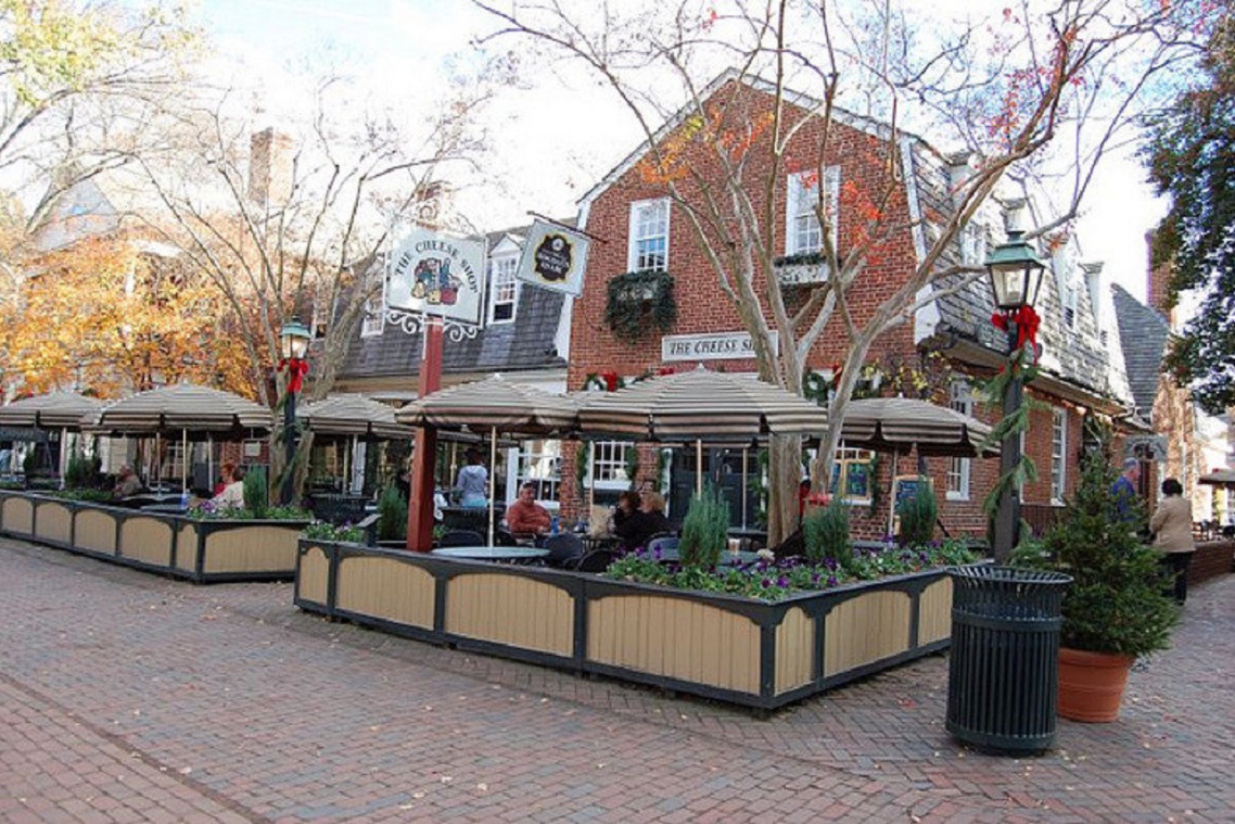
Due largely to the vision and generosity of John D, Rockefeller, Jr., there is no better place in America for then-and-now photos than Williamsburg, VA.  Beginning in 1926 he quietly bought up much of the former colonial capitol of Virginia. The main road through town has long been the Duke of Gloucester Street, running one mile from the Capitol building west to the College of William and Mary. Following the restoration of 88 original buildings and the reconstruction of many others, the “new” Williamsburg was formally dedicated by FDR in 1934. The first photo is dated 1909 and shows a monument to the former capitol on the site. The second photo shows FDR at the dedication.
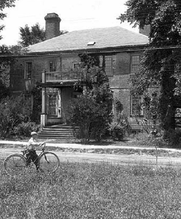
Just how much work was needed can be seen in the 1892 photo of the Crump House on the Duke of Gloucester Street.


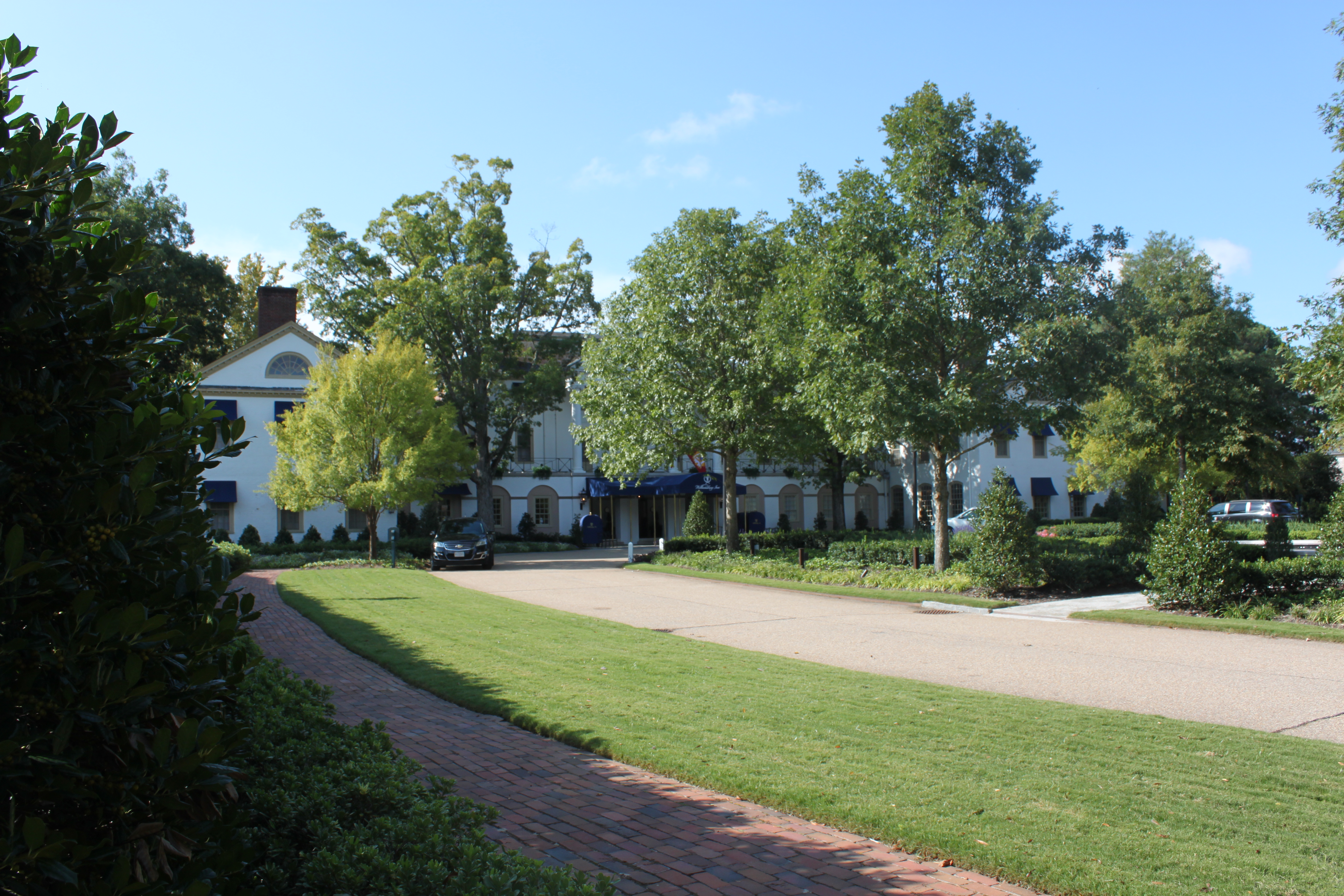
Restoration planners knew visitors would need a place to stay so the elegant Williamsburg Inn was constructed in 1937 as seen in this construction photo.


George Wythe was a mentor to Thomas Jefferson while Jefferson attended William and Mary. The Wythe House looks much like it appeared in this 1926 photo.


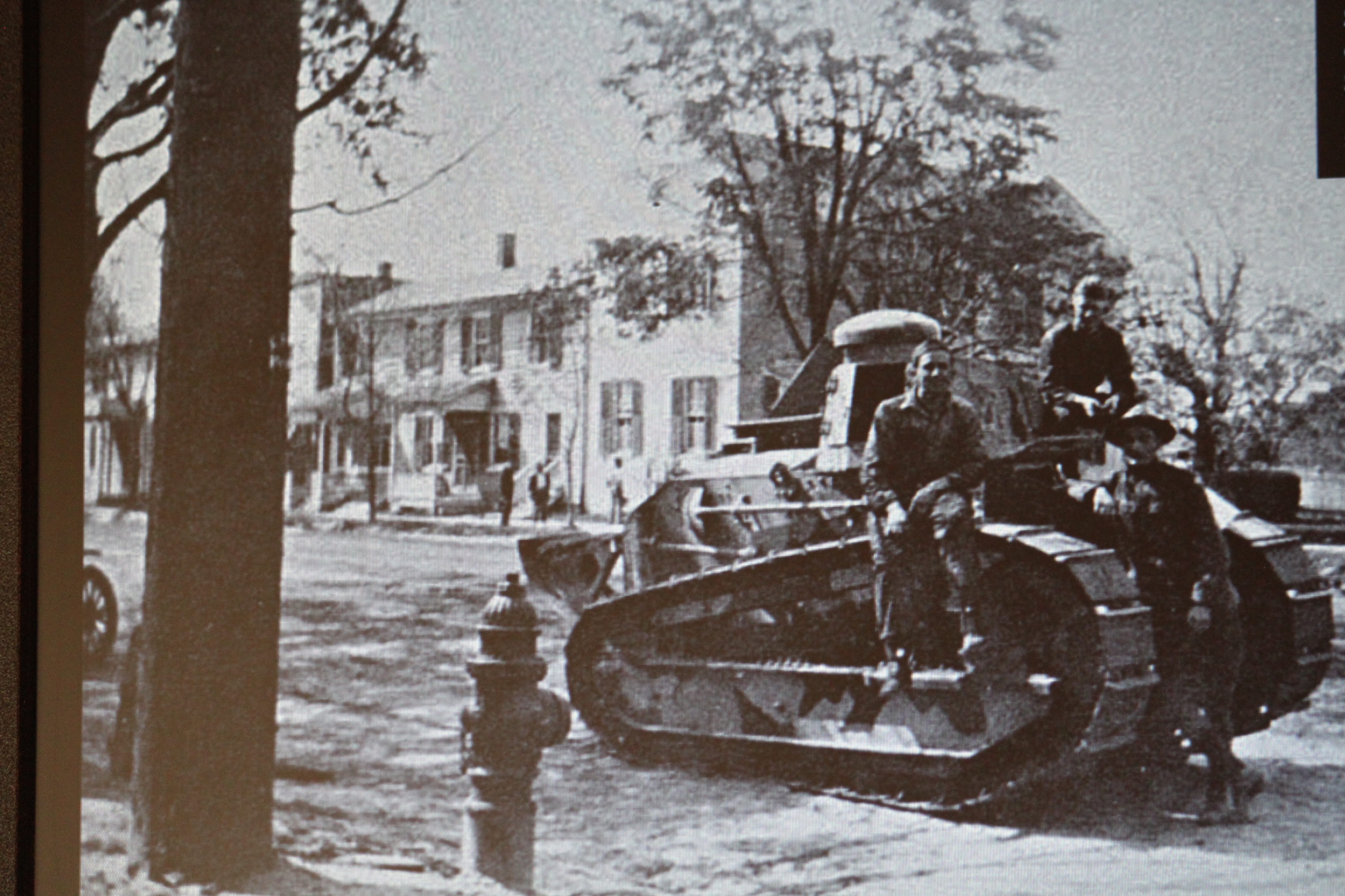
An eye-catching photo is this picture of a tank parked on the Duke of Gloucester Street during a WWI bond drive.


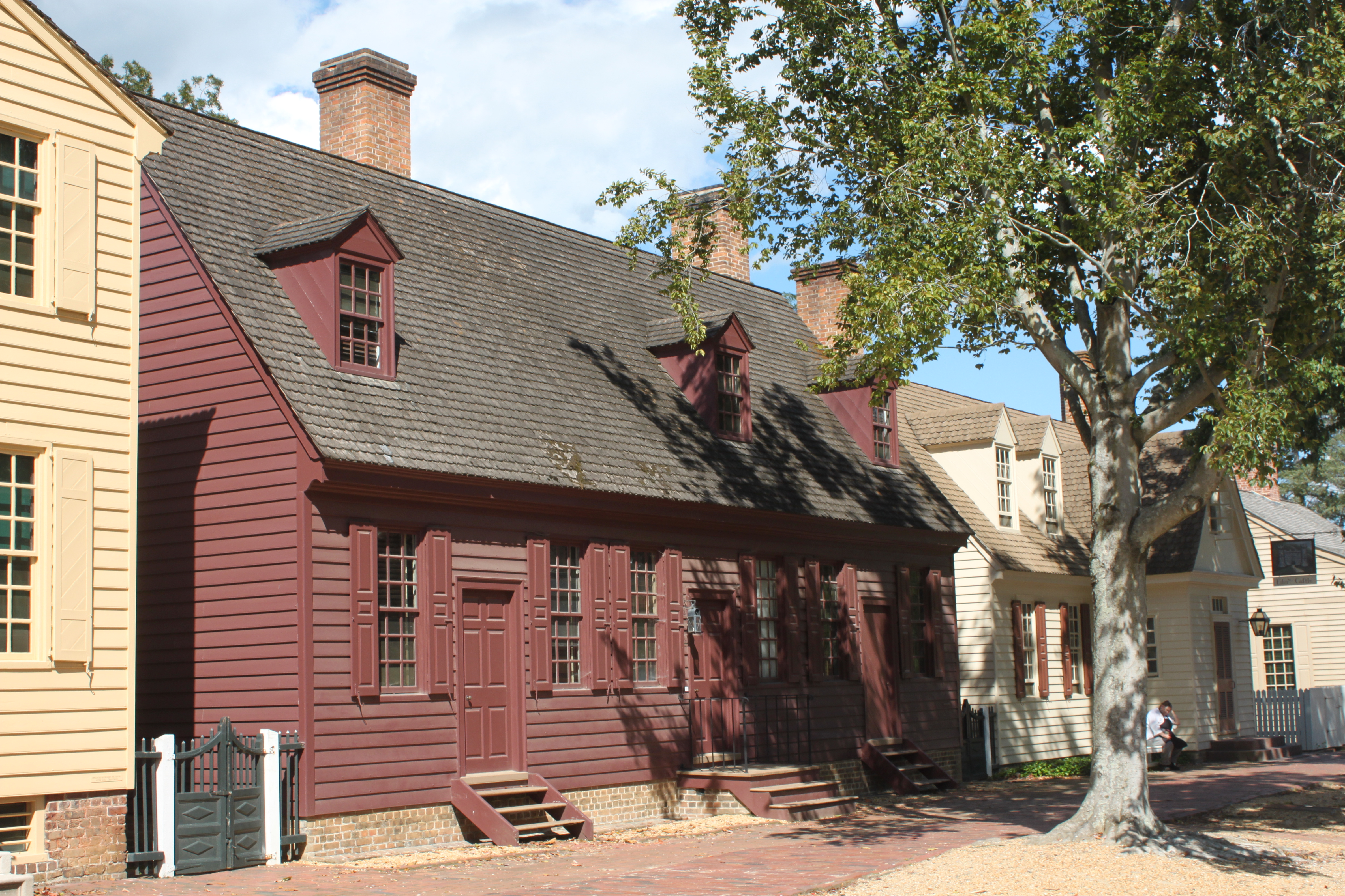
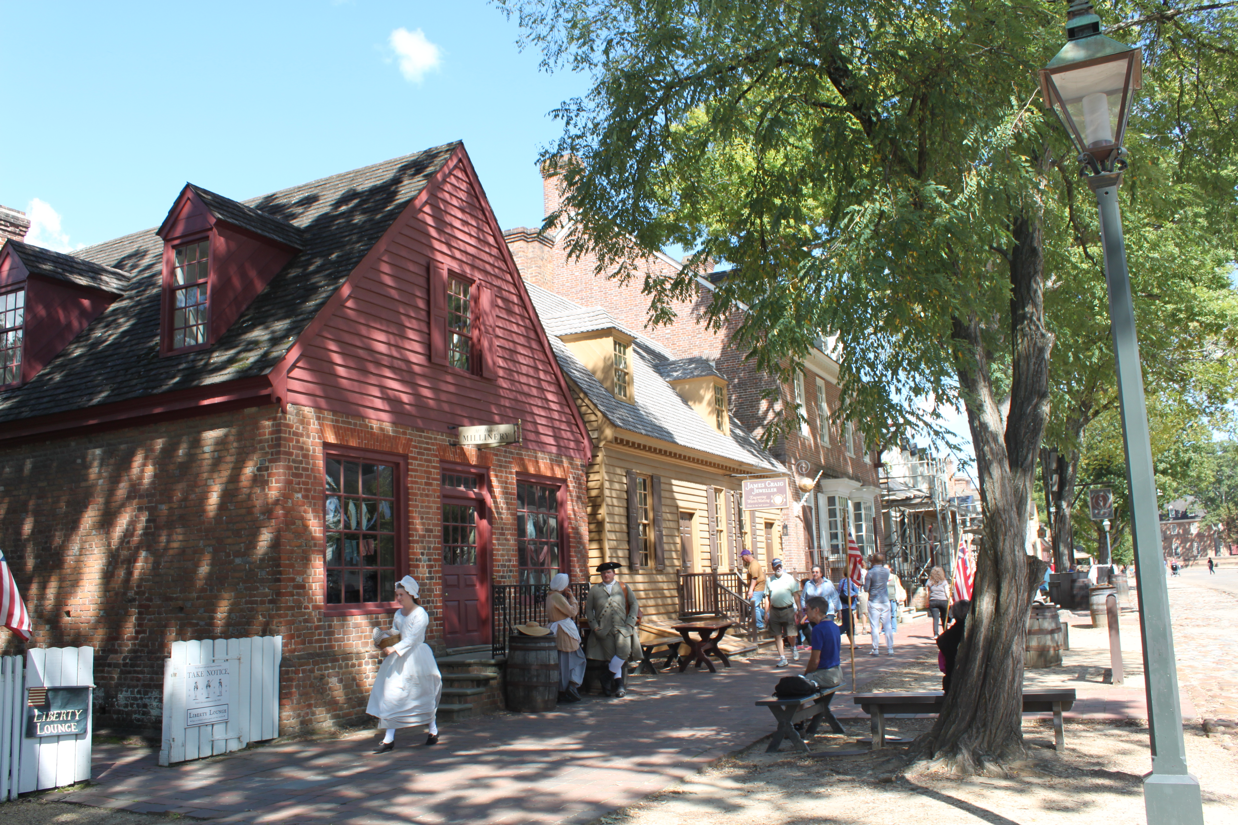
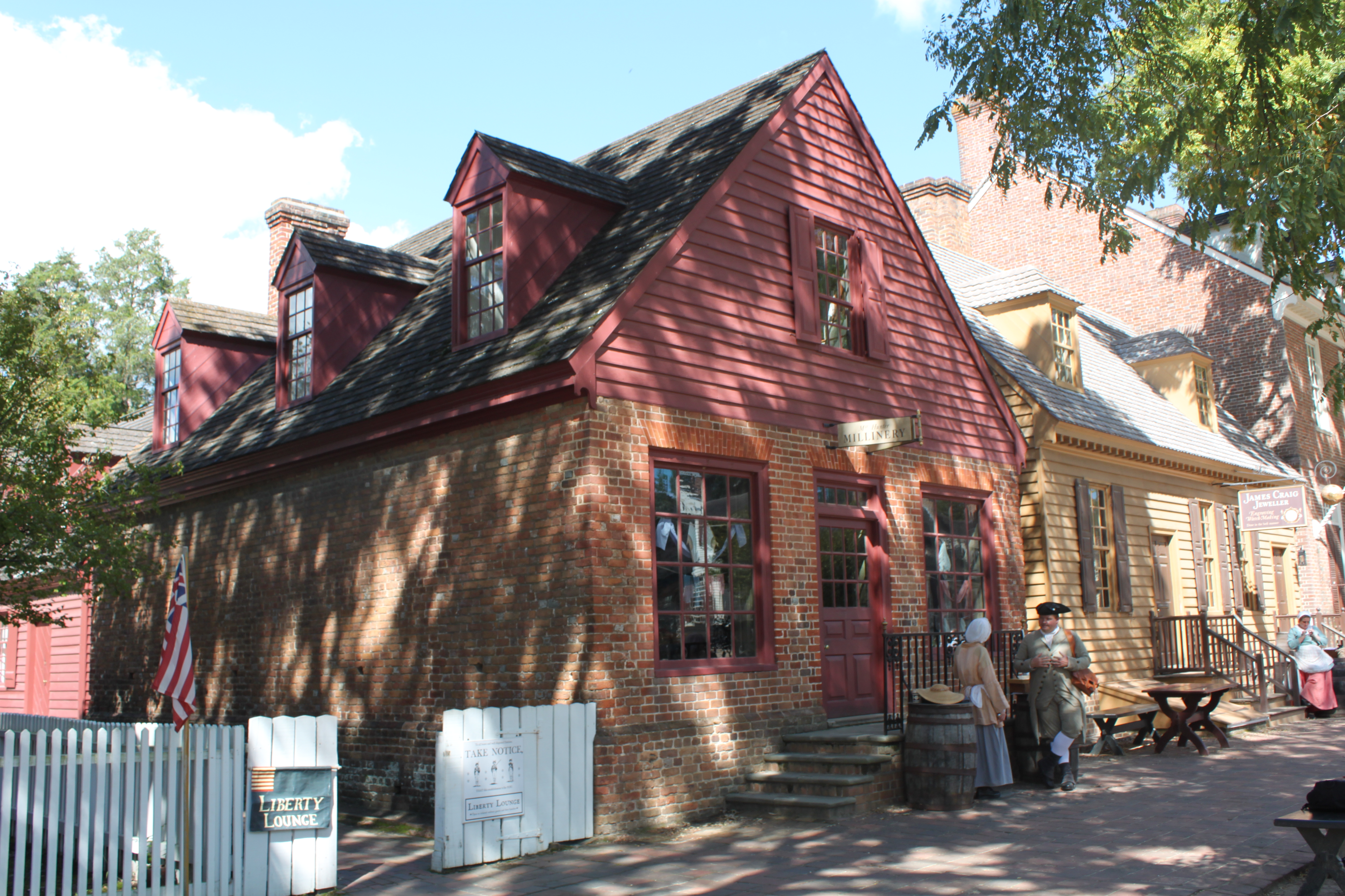
Here is a ca. 1928 photo of the north side of Duke of Gloucester Street. Note the second building–the milliner shop. It is a good example of the architectural integrity that was observed throughout the renovation process. In the third photo,  note especially the original eaves line where the second floor had been added with great construction techniques and even flooring from epoxy floor installers as well.

Categories: Uncategorized | Leave a comment

Erie Canal

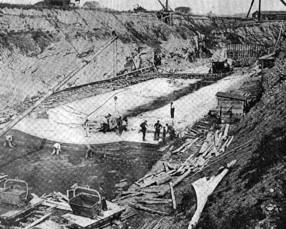
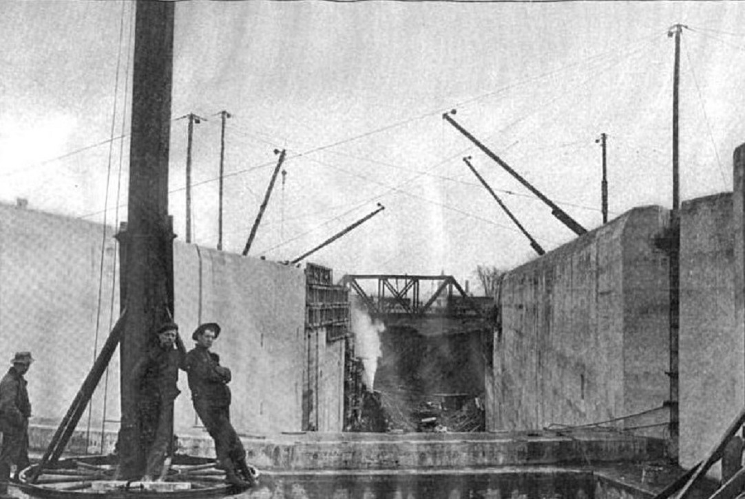
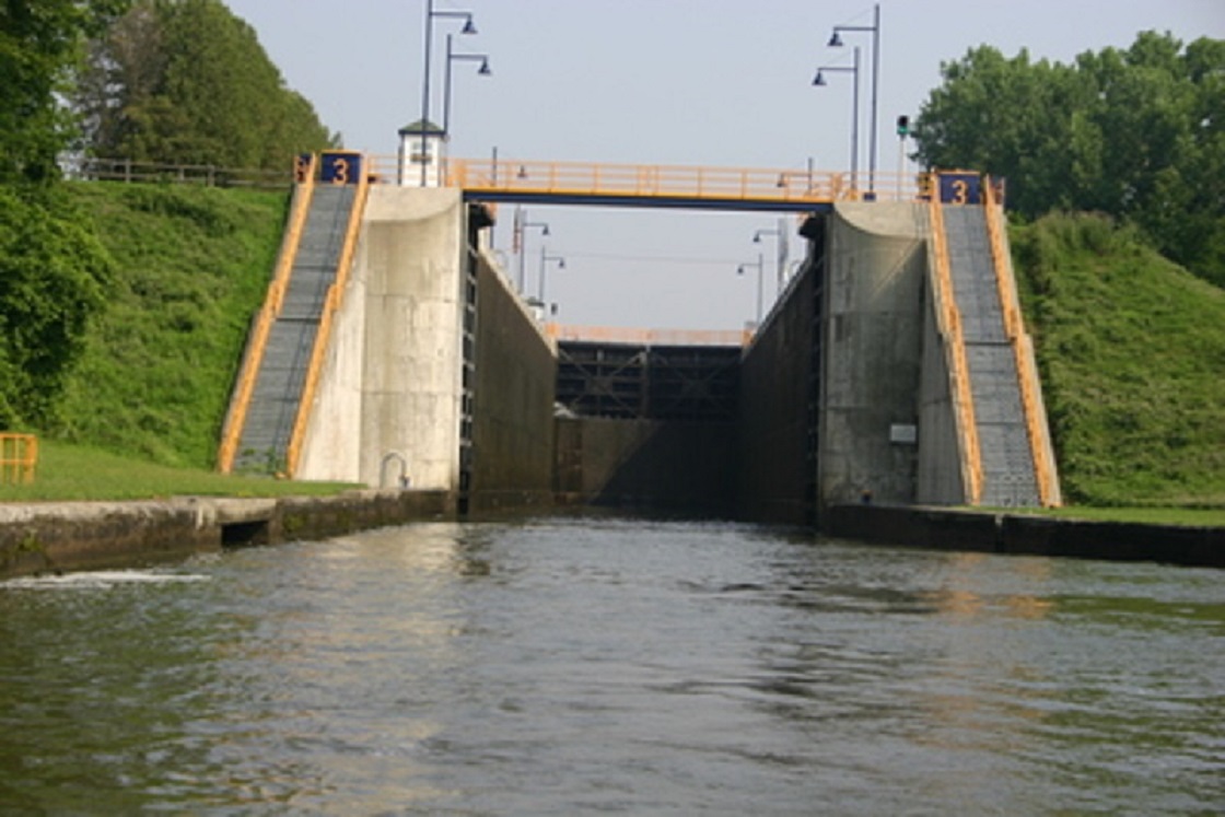
An idea of the magnitude of lock construction is seen in the first photo dated 1907 showing Lock #3 in Waterford NY and again in an undated photo. Click to enlarge.


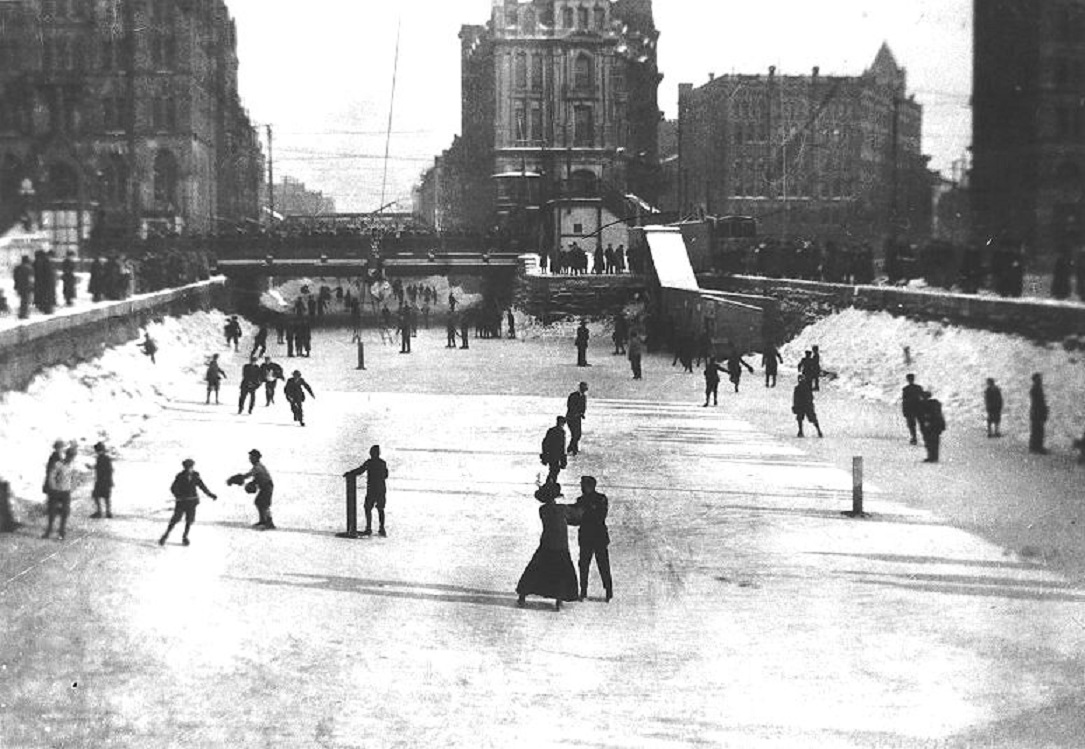
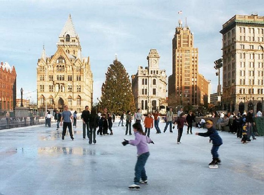
During winter, a favorite pastime was skating on the Canal as seen in this ca,1900 photo from Clinton Square.


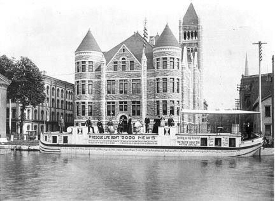
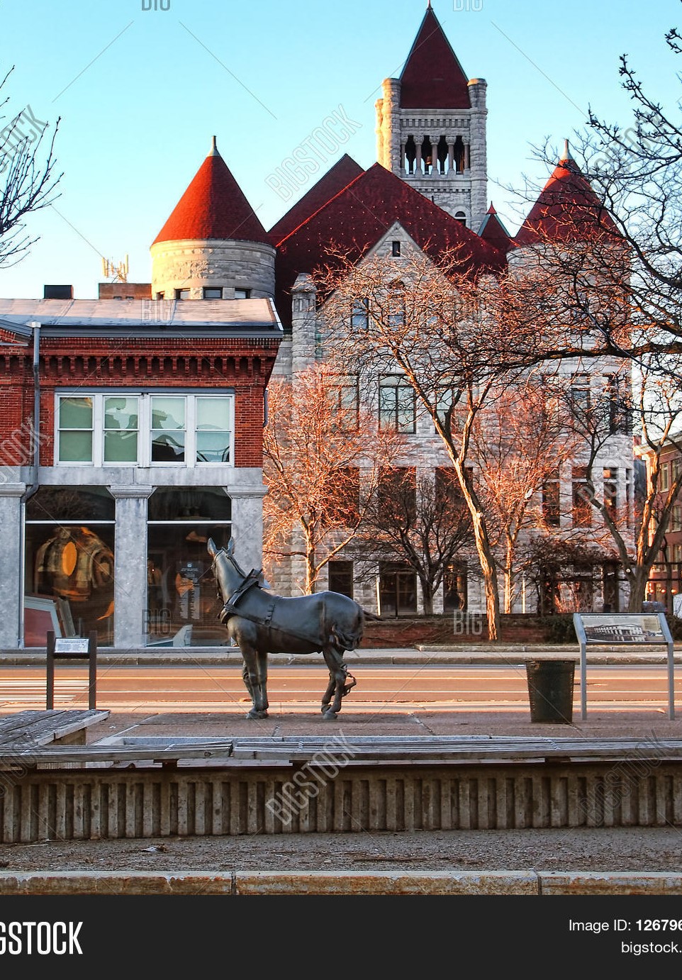
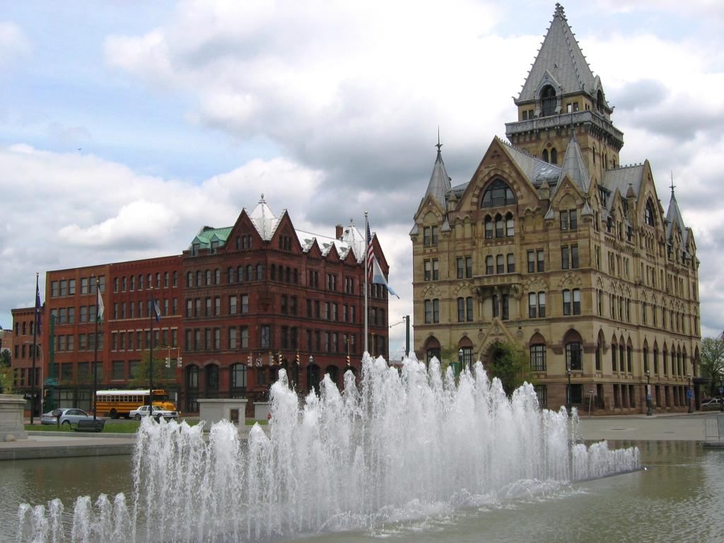
This is a late 1800’s photo of Syracuse City Hall from the Canal side.


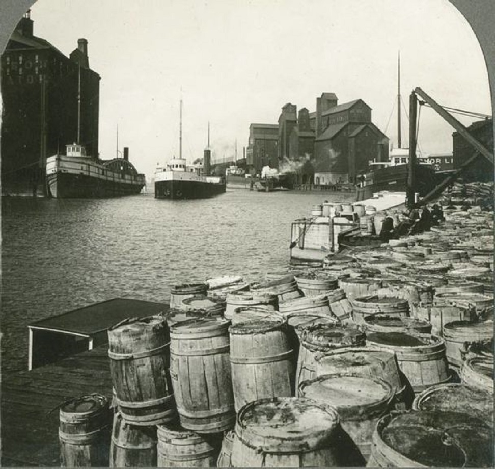
This photo shows the last stop on the Canal in Buffalo NY around 1915. (See Western New York Heritage 1/1/2008.)


Categories: Uncategorized | Leave a comment

Erie Canal

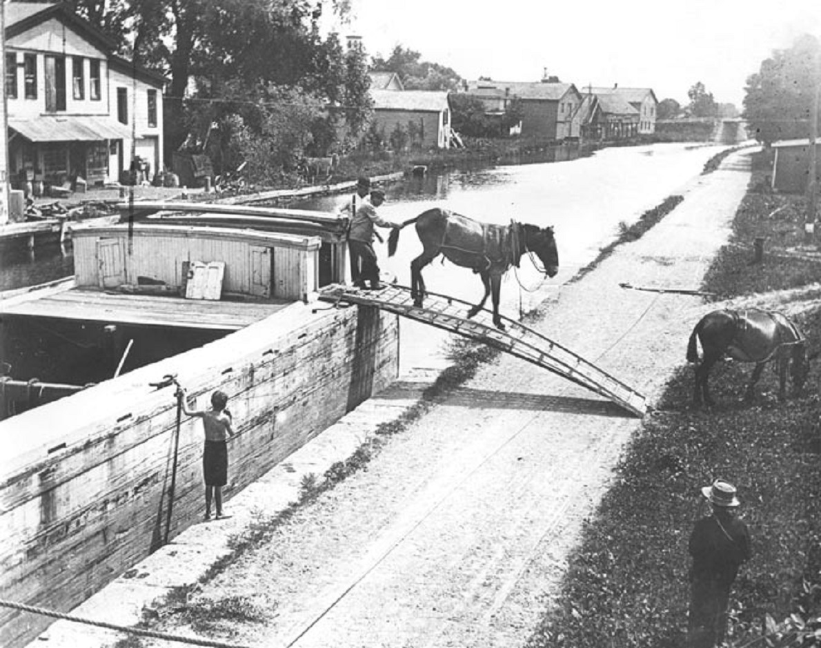
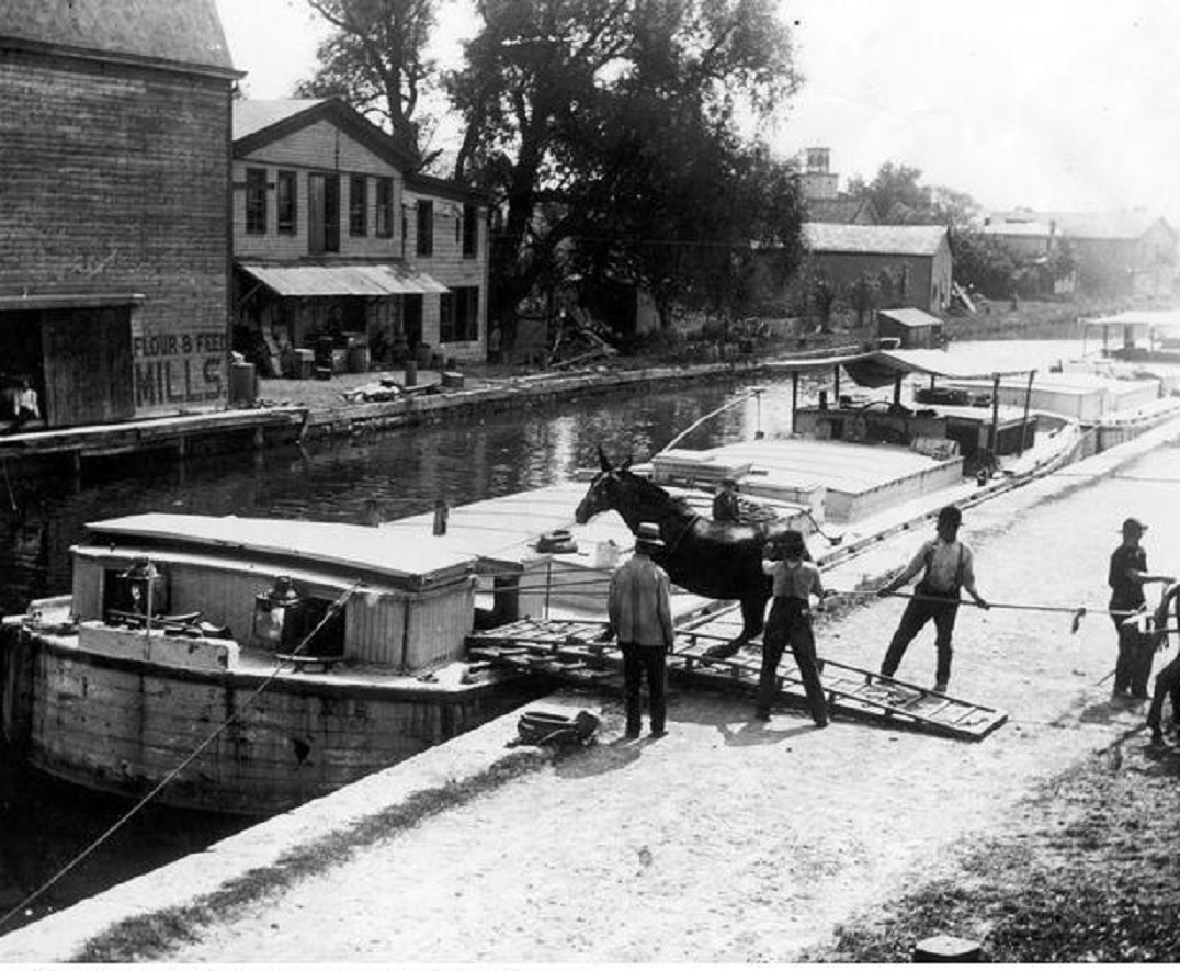
Ground was broken for the Erie Canal in 1817, making the current year its bi-centennial. It took 8 years to complete the 363 miles from Albany NY to Buffalo NY. The Canal was 40-feet wide with a 10-foot horse/mule towpath for room to pull the barges. Several photos and much information are presented courtesy of The Erie Canal Museum. The first 2 photos show a driver change in ca. 1900.


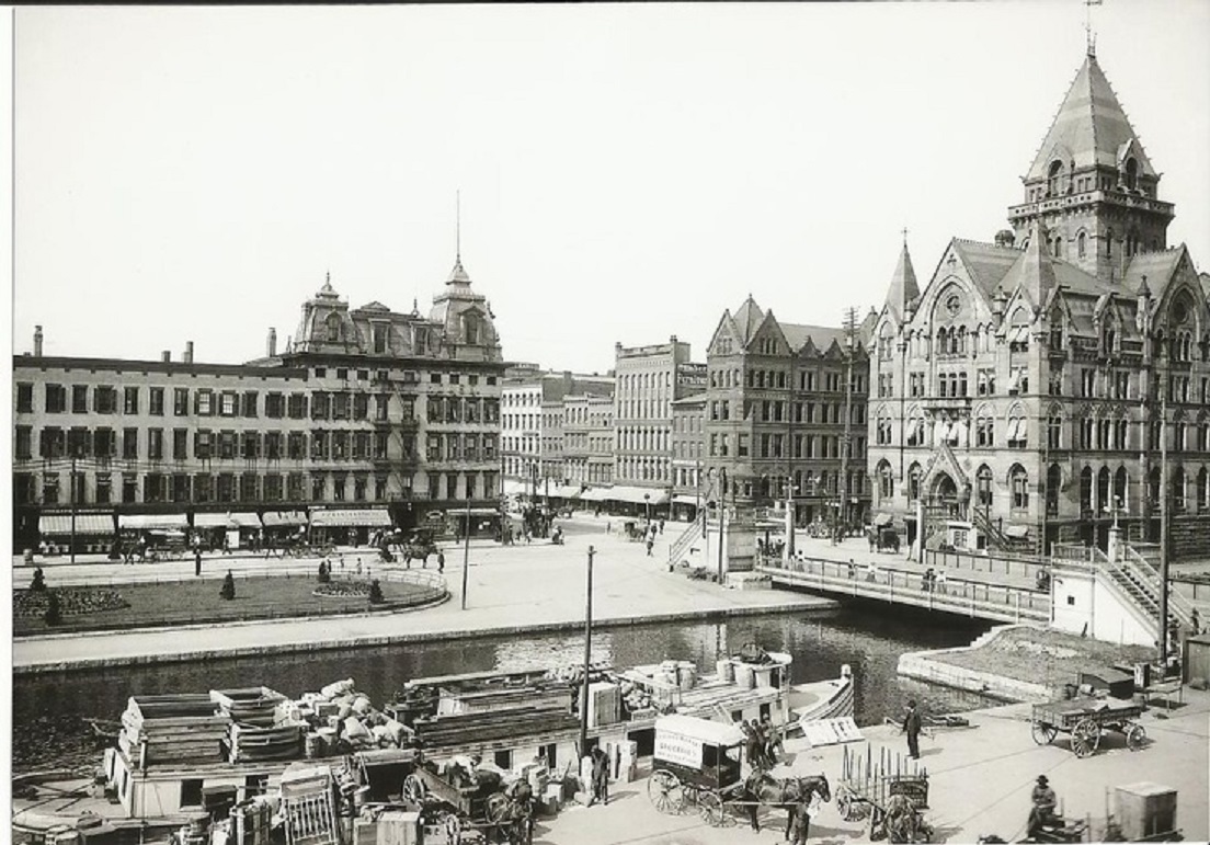
This photo shows Clinton Square ca. 1905.


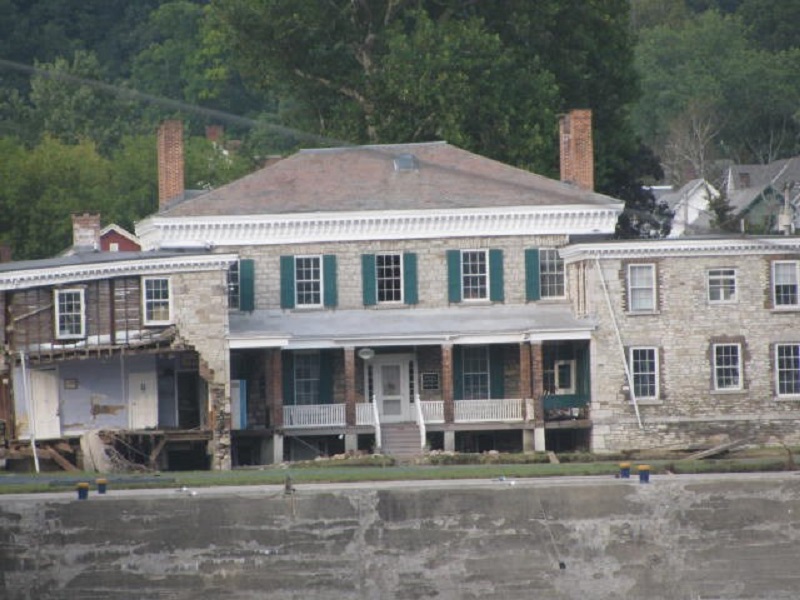
This photo shows a mother painting her boat (with a little help from her daughter) in 1947 along the canal. The house in the rear is Guy Park Manor built in 1773, which, unfortunately, incurred serious damage during Hurricane Irene in 2011. It is still undergoing renovation and remains unoccupied.


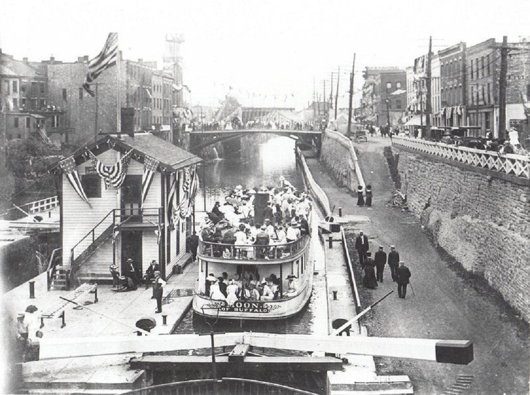
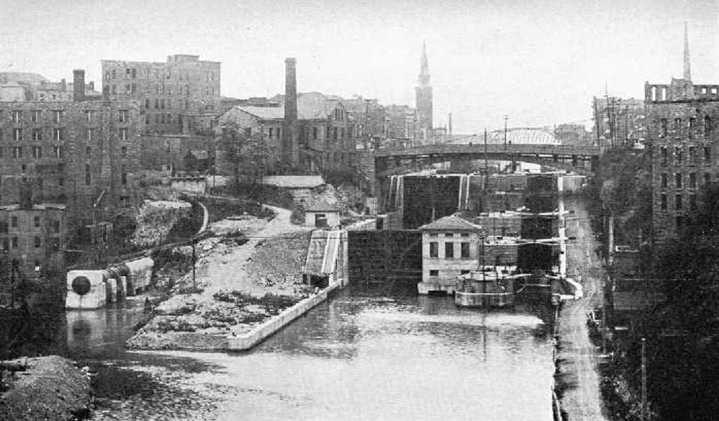
This photo shows the Pine St, Lock in Lockport in 1910.


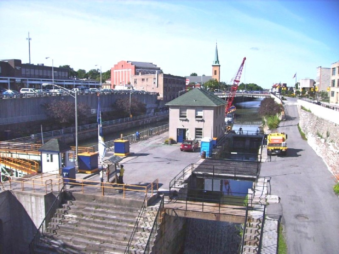
Here is an undated photo of another lock in Lockport.


Categories: Uncategorized | Leave a comment