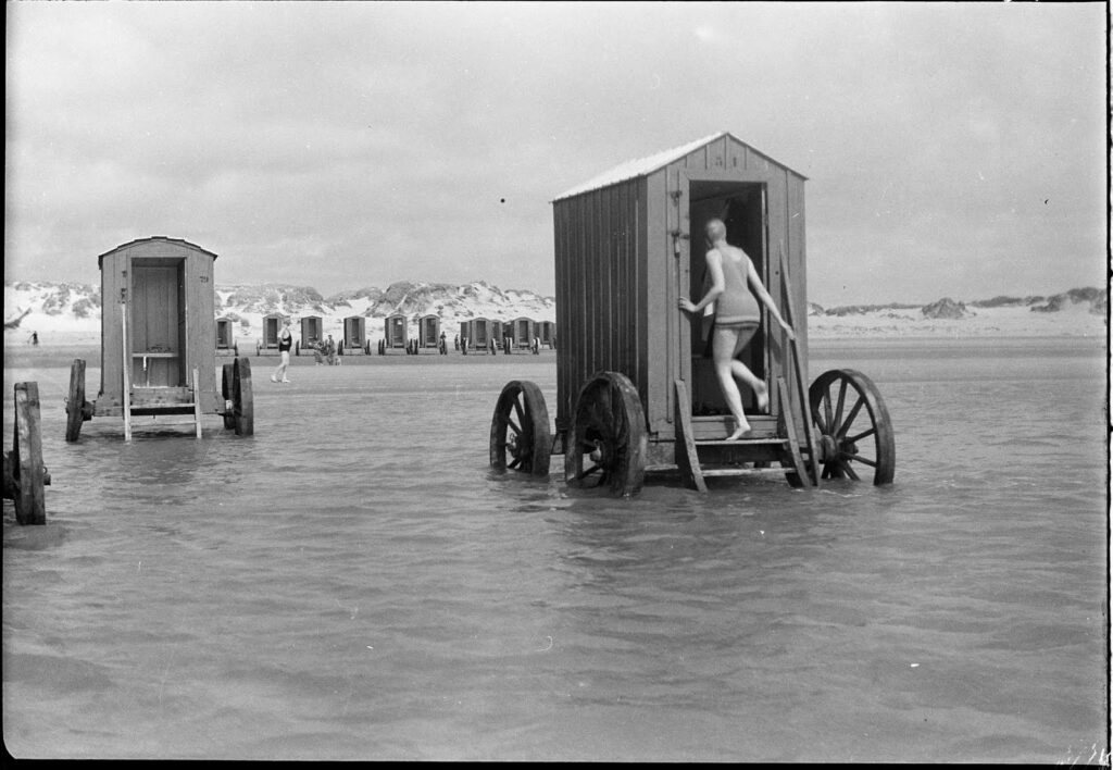
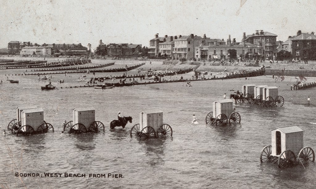
Going to the beach as a fun activity began in the mid-19th Century in England and spread to the rest of the world in the late 1800s. Due to modesty in the Victorian Age, people stayed on the beach, out of the water. Later on, an odd invention appeared–the bathing machine. Made of wood and pulled by a horse, it gave women, primarily, the chance to go in the water, but still be in keeping with the standards of the times.
Later, of course, times changed and beach activities and fashion changed dramatically.
Two of the most popular beaches in the U.S. at the beginning of the 20th Century were:
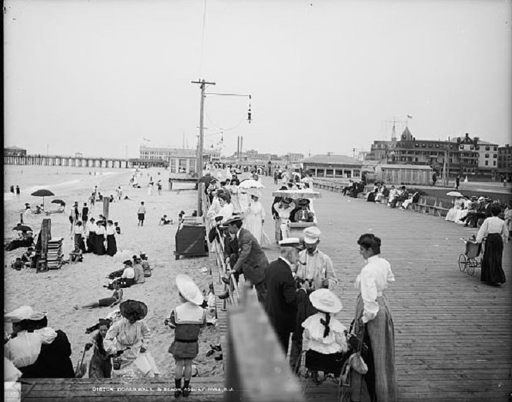
Asbury Park, NJ. The first two photos are dated ca.1905.
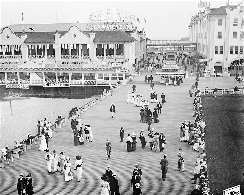
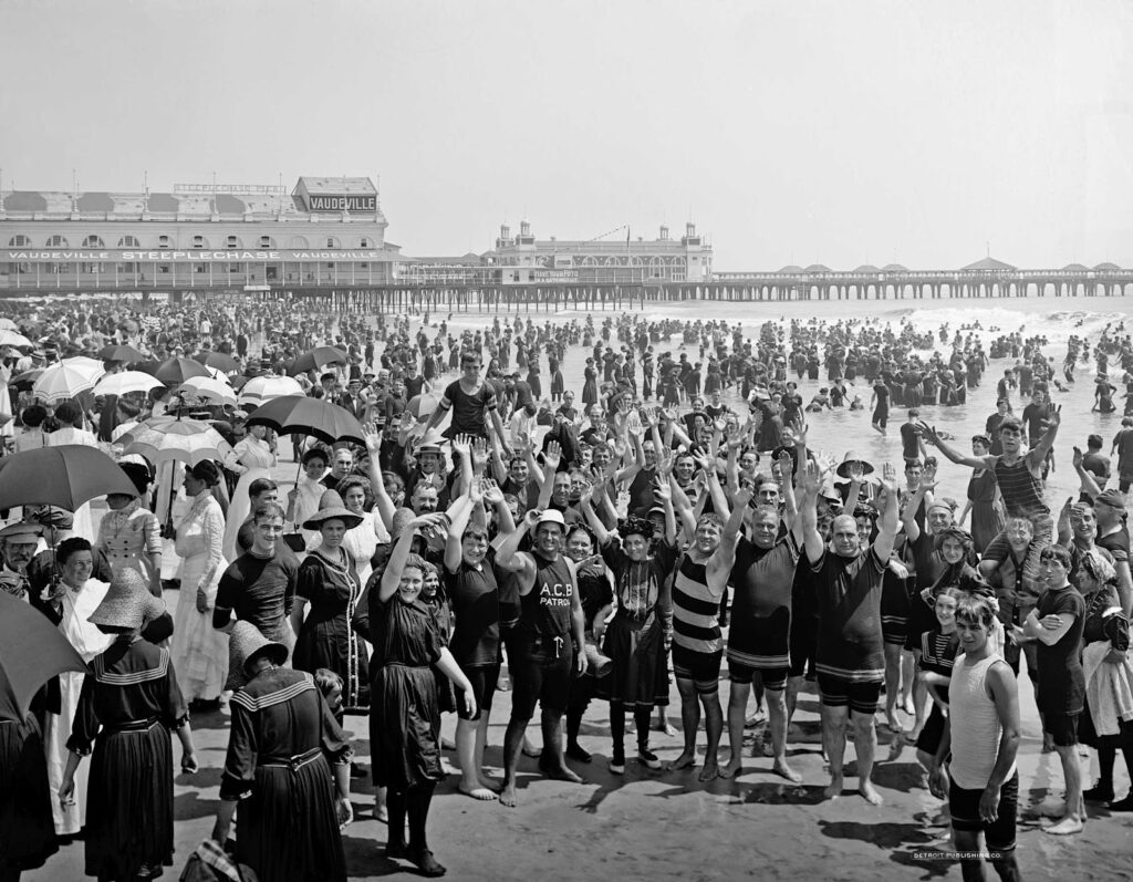
Atlantic City NJ The first two photos are dated 1904.
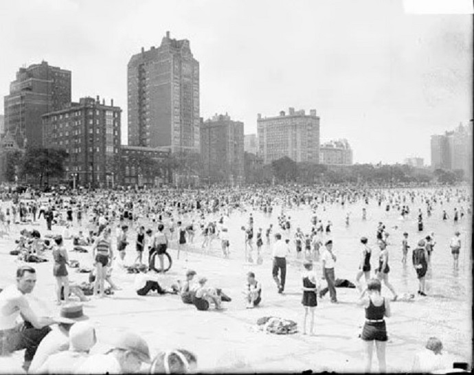
In the Midwest, Oak St. Beach in Chicago was popular as seen in this 1929 photo.
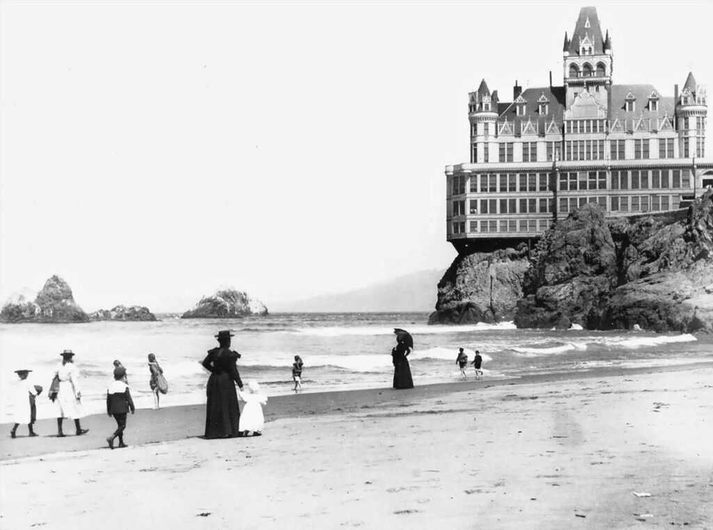
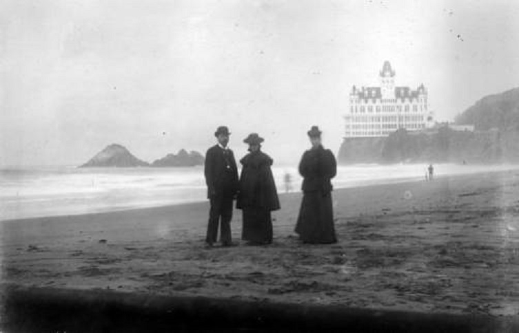
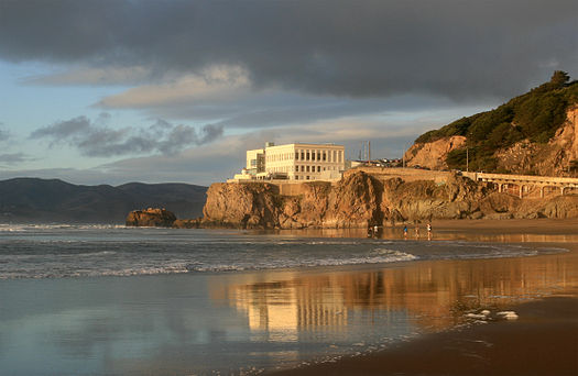
On the West Coast, near San Francisco, Ocean Beach with its haunting Cliff House attracted crowds. There have been four Cliff Houses on the site since 1863. The one shown (#2) burned in 1907. The first photo is dated 1890 and the second is dated 1895.
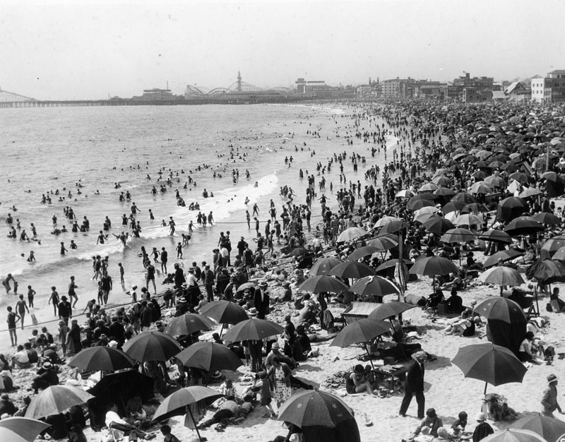
Further south is Santa Monica Beach seen in this 1920s photo.