Route 66 Part 2

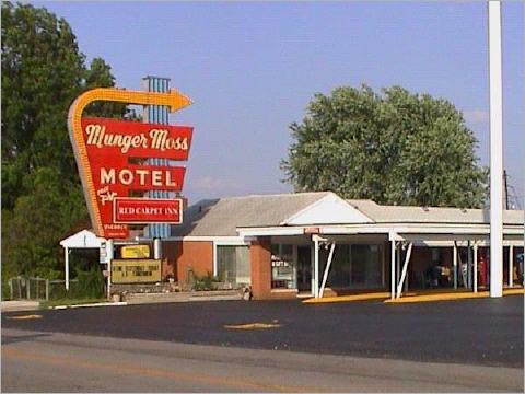
Munger-Moss Motel

The Munger-Moss Motel is located in Lebanon, Mo. It was built in 1946. The famous sign was intended to compete with the rival motel chain– Holiday Inn. The first photo is undated.

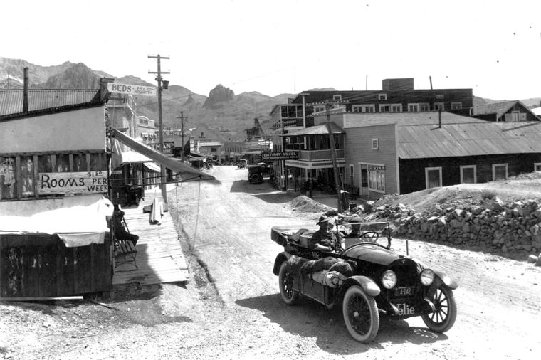
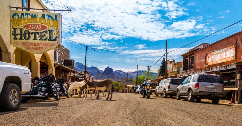
Oatman CA.

The many burros seen about town are descendents of those used by the early miners. Oatman’s population is 128 humans and 2,000 burros.. The first photo is dated 1929.

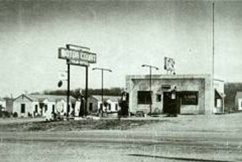
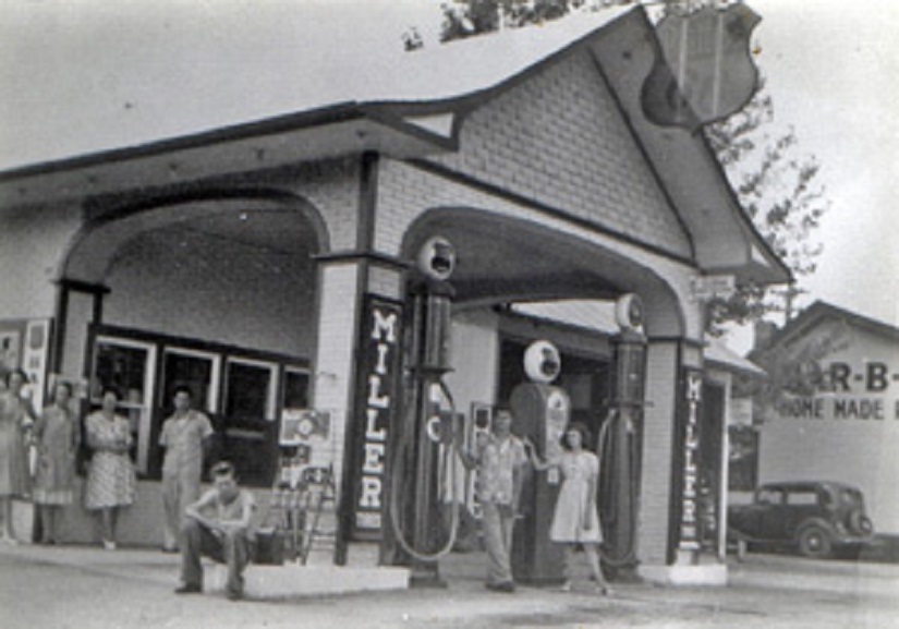
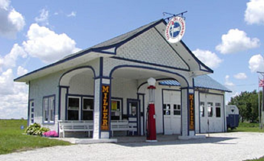
Odell IL Gas Station

The town of Odell IL owns the gas station seen here in an undated photo. It was built in 1932 and was saved from deterioration by a $55,000 grant. It is now a visitors center.

Route 66 has many fun current roadside attractions some of which are:

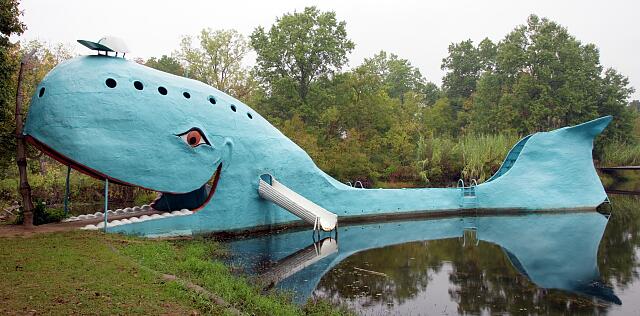
Blue Whale Catoosa, OK


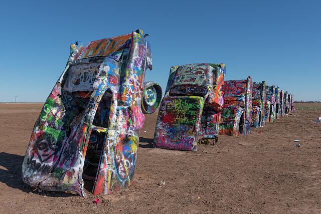
Cadillac Ranch Amarillo TX


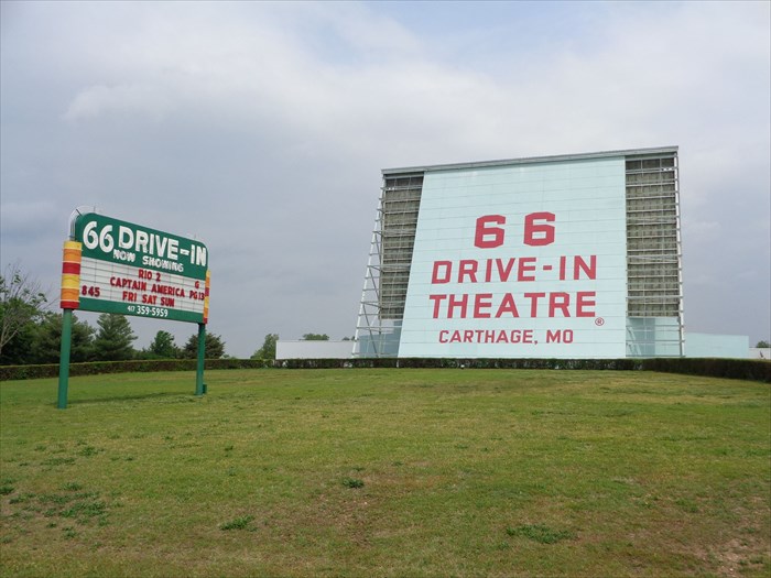
Drive-In Carthage MO

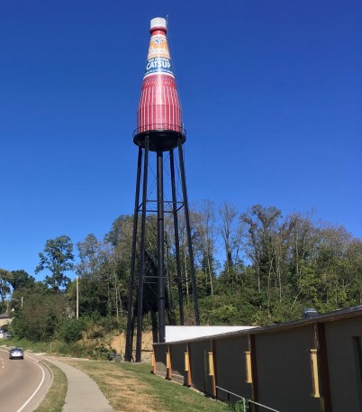
World’s Largest Ketchup Bottle Collinsville, IL

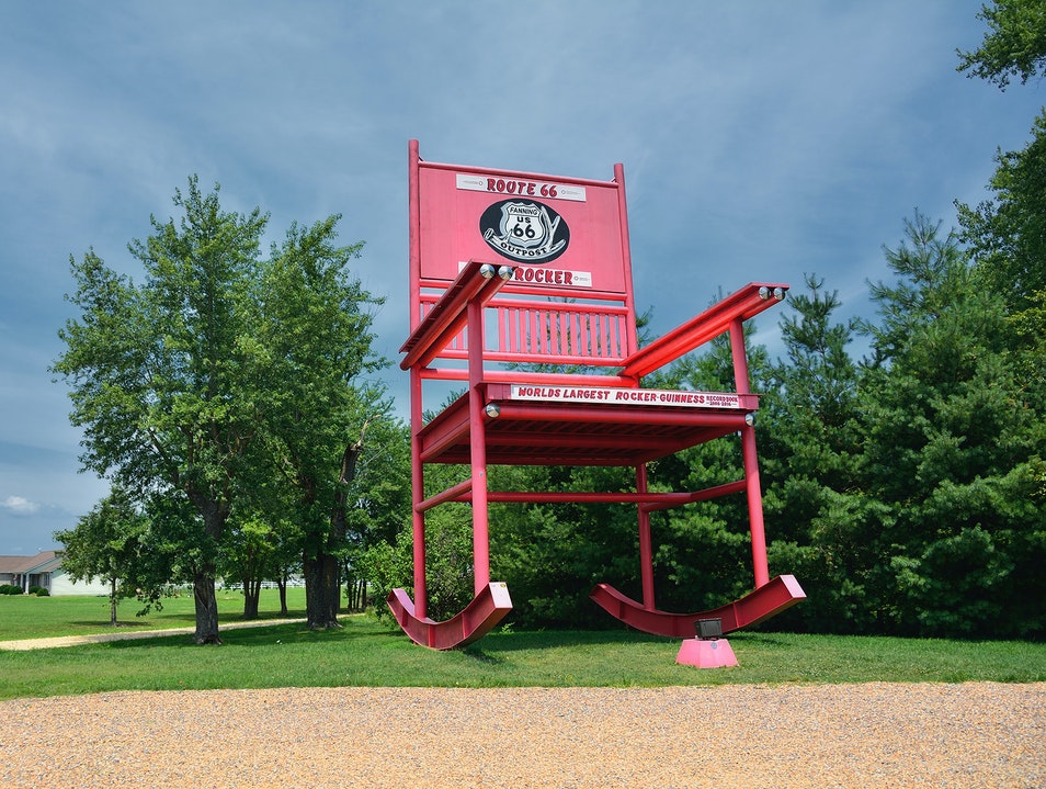
World’s Largest Rocker Fanning, MO.

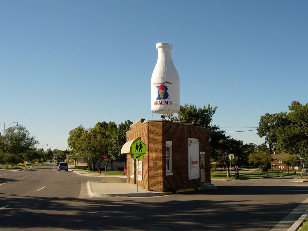
Milk Bottle. Oklahoma City OK.

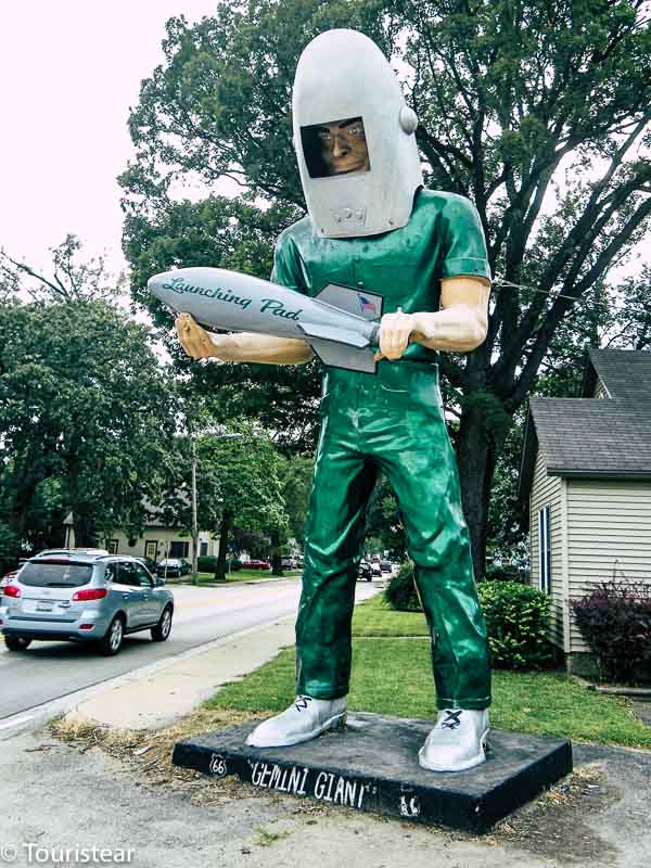
Gemini Man. Wilmington, IL

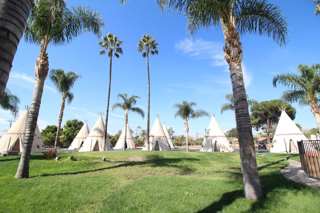
WigWam Motel. San Bernardino, CA.

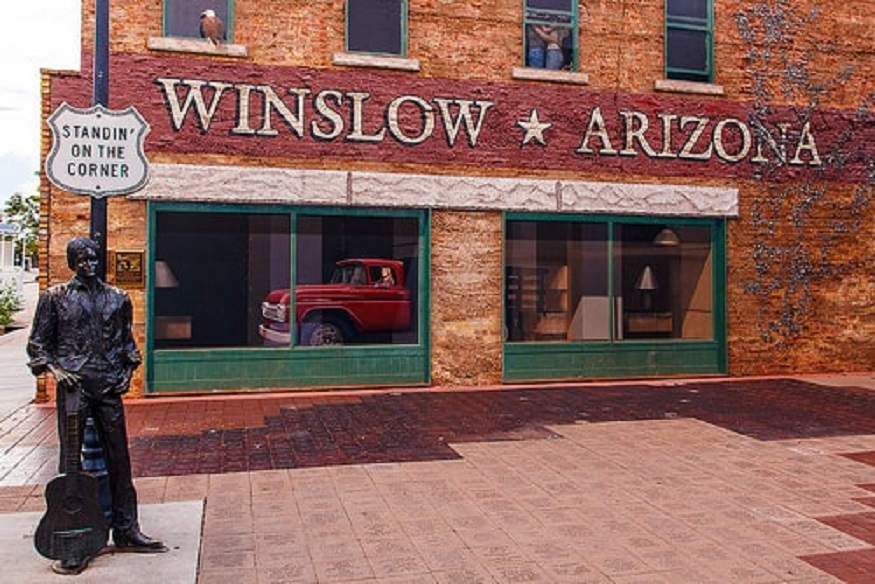
“Standin on a corner in Winslow Arizona, such a fine site to see…”

“Take It Easy” By the Eagles 1972

Categories: Uncategorized | Leave a comment

Route 66 Part 1

Route 66 opened in 1926 and ran from Chicago to Santa Monica CA. It was used by migrants heading west especially during the Dust Bowl of the 1930s, which was when John Steinbeck coined the phrase “The Mother Road” in his novel The Grapes of Wrath. Change came with the passage of the Interstate Highway Act of 1956 when new, high-speed roads were built, sometimes next to the old highway, but often bypassing cities and towns. Route 66 was decommissioned in 1985. However, preservation efforts have saved many of the stops along the way. Several of these are:

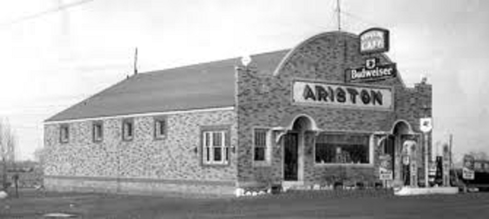
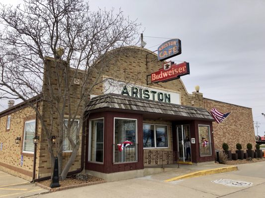
Ariston Cafe

Ariston Cafe started in 1924 and moved to its present location in Litchfield IL in 1935. It is one of the oldest, if not the oldest, restaurant on Route 66. The first photo is from the 1930s.

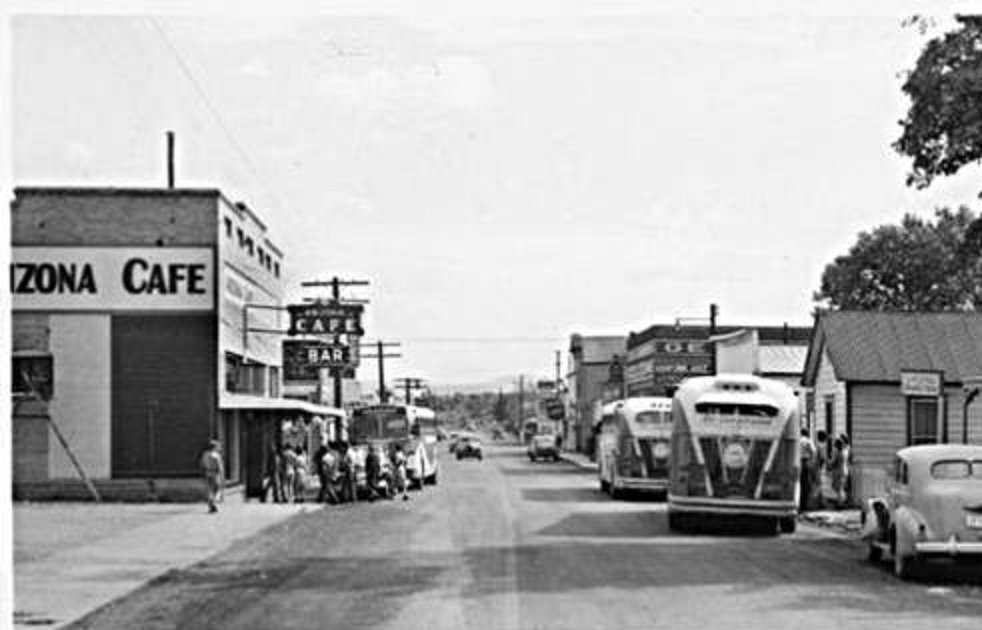
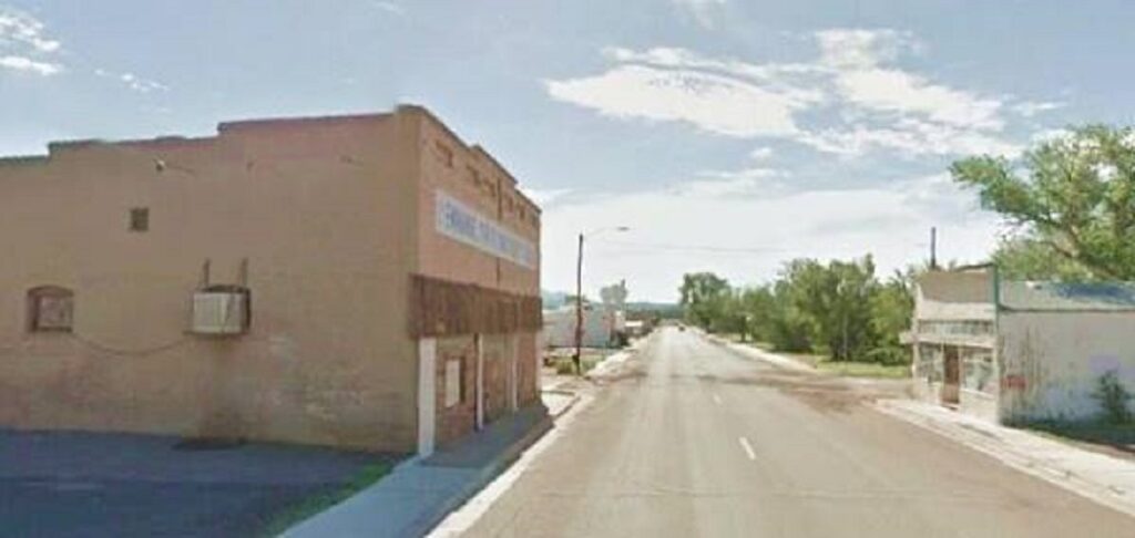
Ash Fork AZ – 1940s

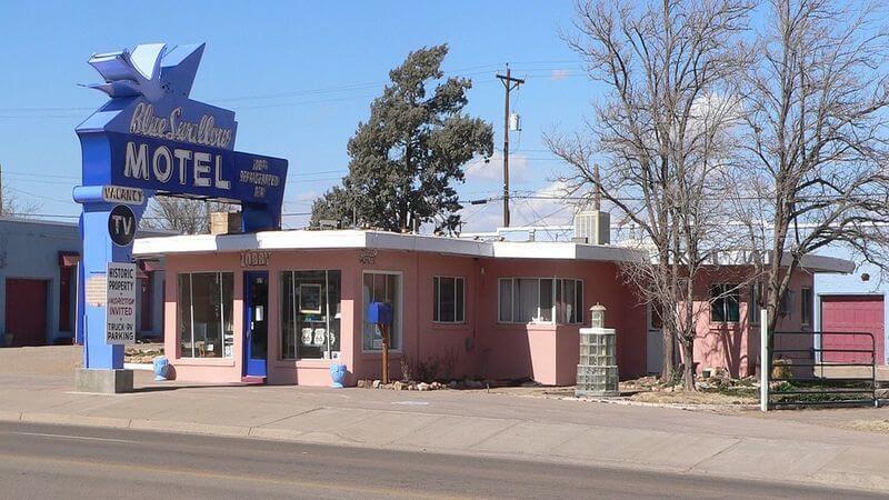
Blue Swallow Motel. Tucumcari NM

Photo dated 1939, the year Blue Swallow opened.

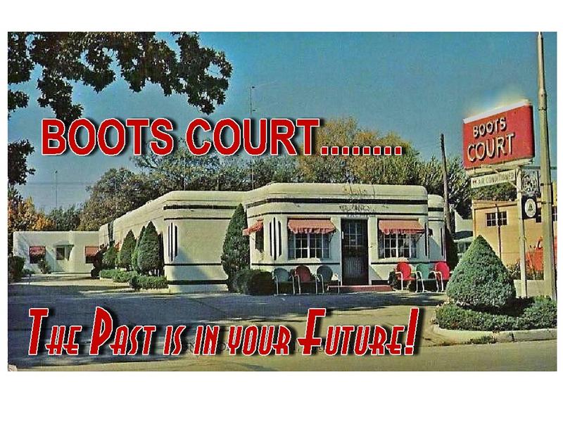
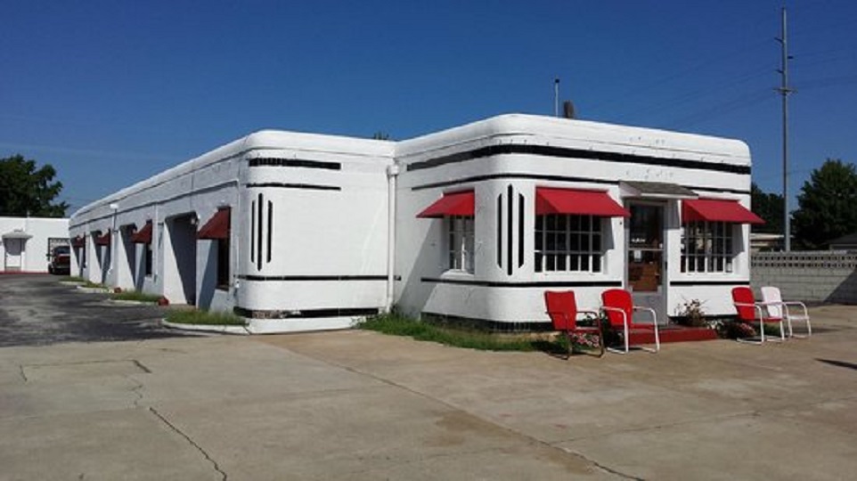
Boots Court, Carthage MO

Boots Court Motel also opened in 1939; the postcard is dated 1949.

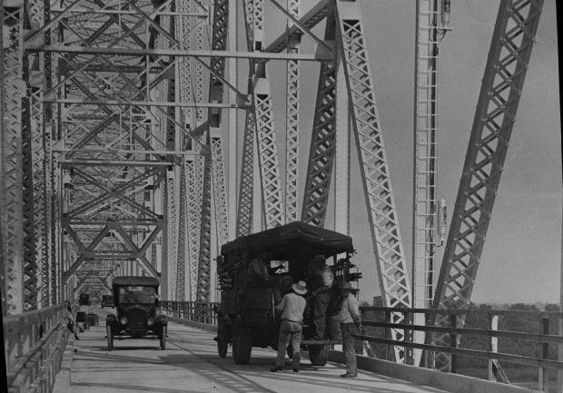
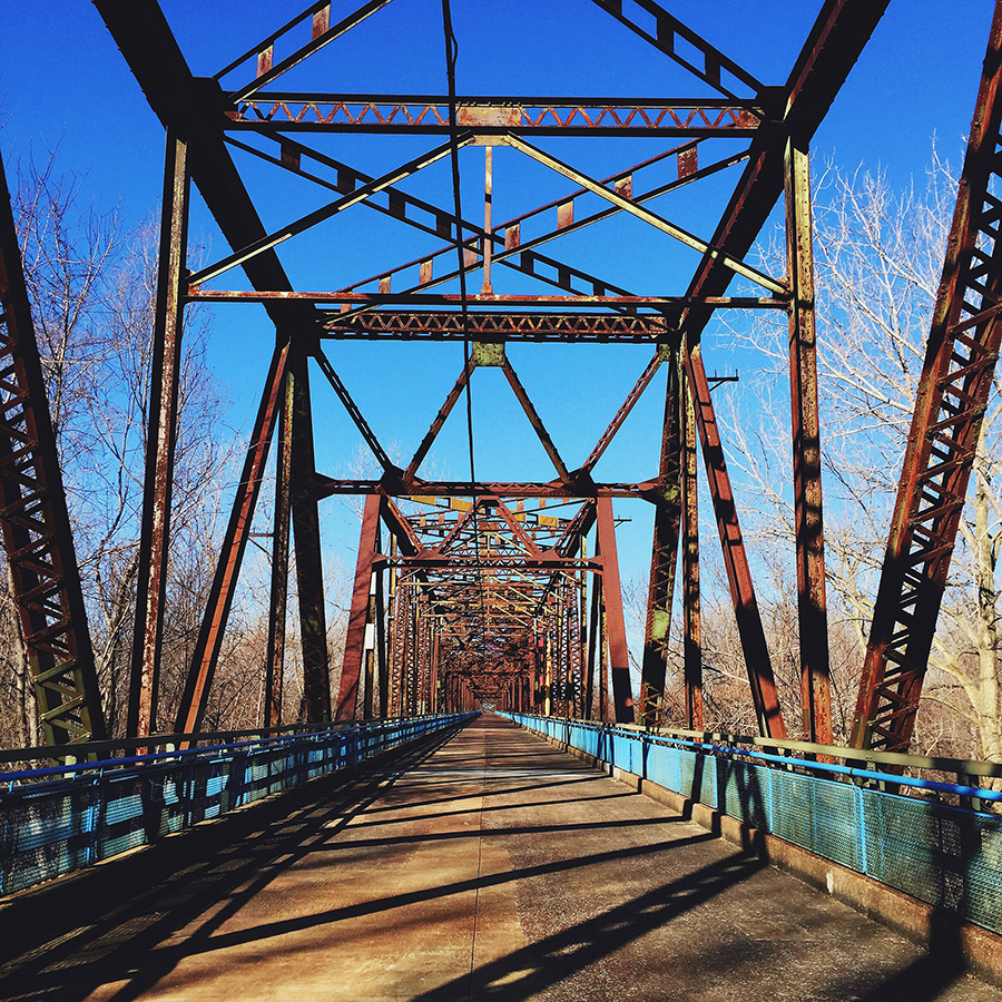
Chain of Rocks Bridge, Madison IL

Opening day 1929.

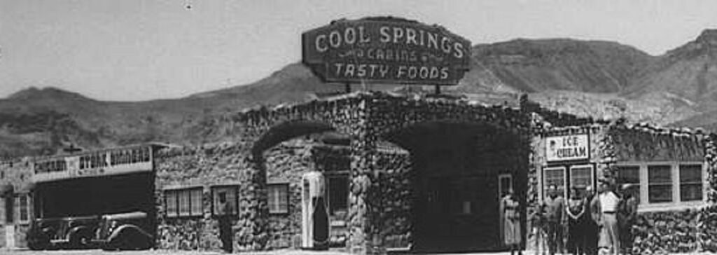
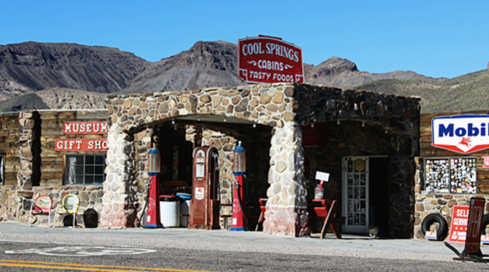
Cool Springs Gas Station, Tucumcari NM

Cool Springs Gas Station started in the 1920s but burned down in the 1960s. The first photo is undated and the second shows the well done reconstruction, which utilized the ruins. It reopened in 2004.

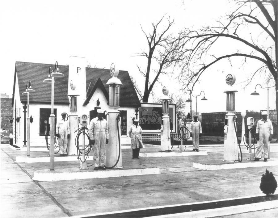
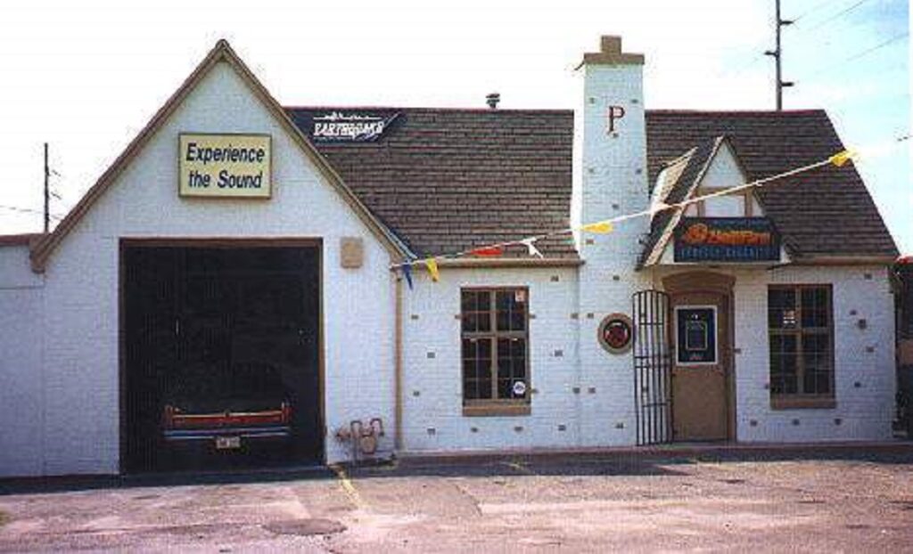
Phillips 66 Gas Station, Wichita KS.

This 1927 photo shows the very first Phillips gas station on opening day. The famous logo came later as an attempt in 1930 to tie Phillips to Rt 66.

Categories: Uncategorized | Leave a comment

Leadville, CO

Leadville is located about 20 miles south of Vail Colorado at an elevation of 10,152 ft., making it the highest city in the U.S. It was founded in 1877 by two men, one being Horace Tabor–owner of the Matchless Mine and several prominent businesses in town. Within three years of its founding on “desolate flat land,” Leadville had gas lights, 28 miles of streets, five churches, three hospitals, six banks, and a school. Having been built of brick, many historical sites have survived. Some are:

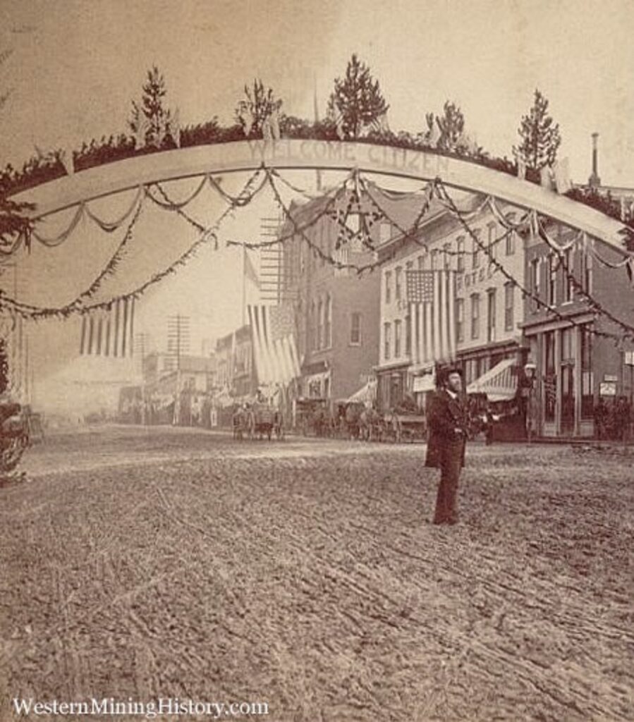
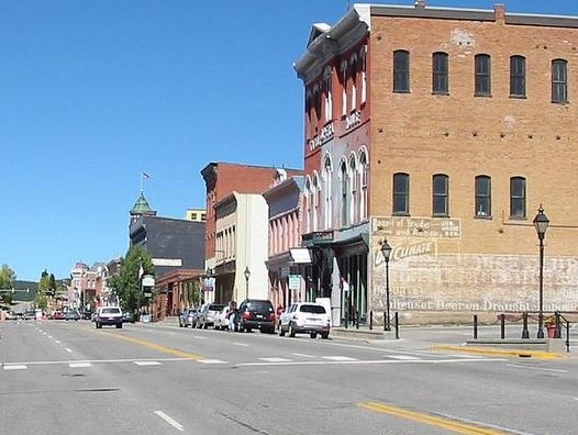
Harrison Ave.

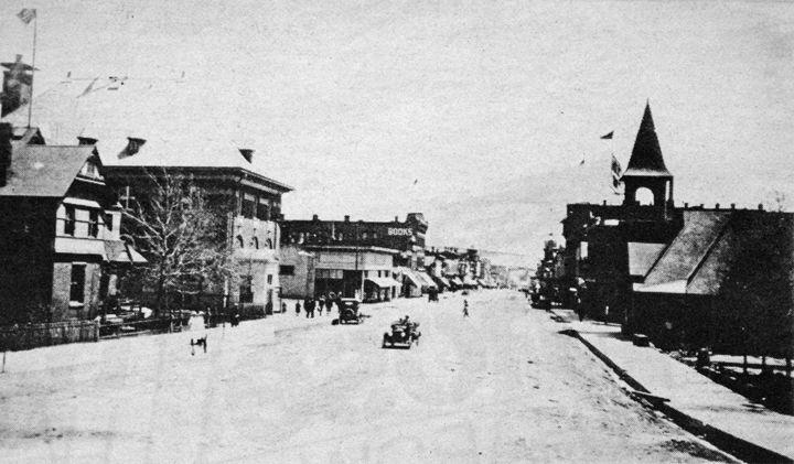
Along Leadville’s main street are many surviving structures. General Ulysses Grant can be seen in this 1880 photo admiring them.

Here is a photo dated ca.1915 taken at the other end of Harrison Ave. looking back towards downtown.

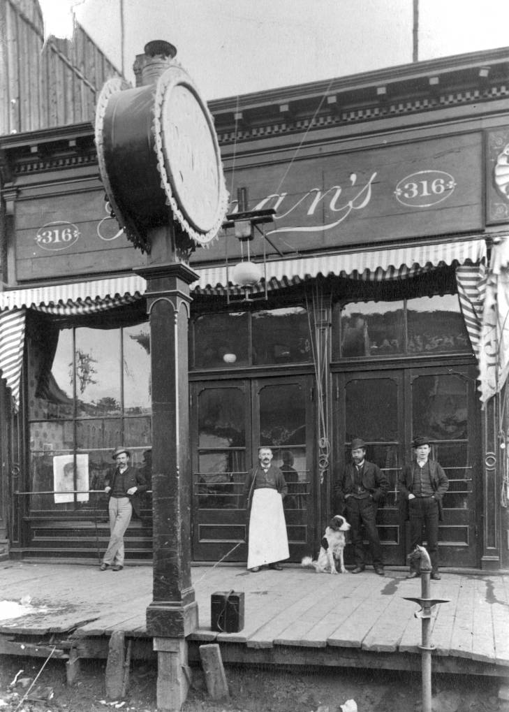
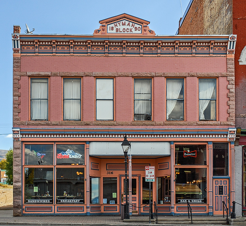
Hyman Club on Harrison Ave. Photo dated 1905.

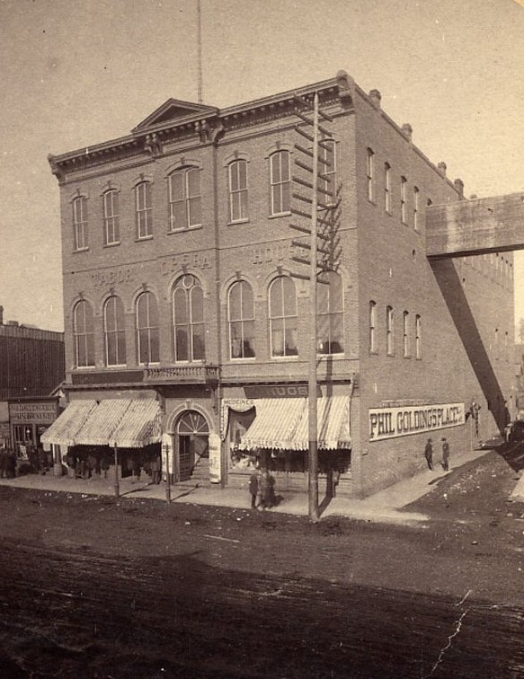
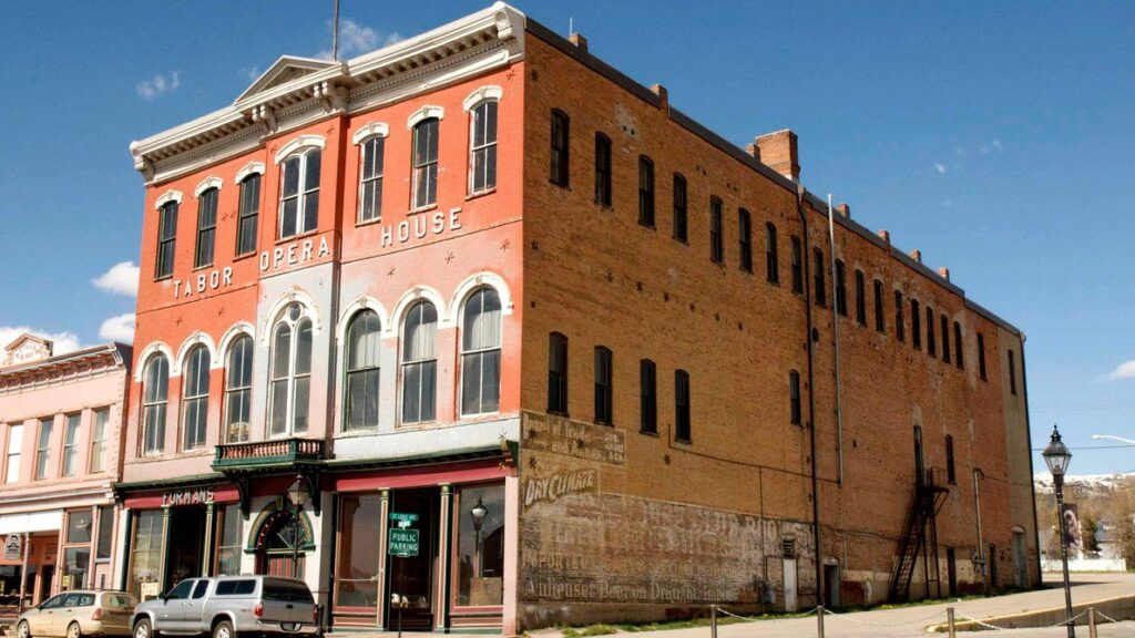
Tabor Opera House next to Hyman Club.Photo dated 1881.

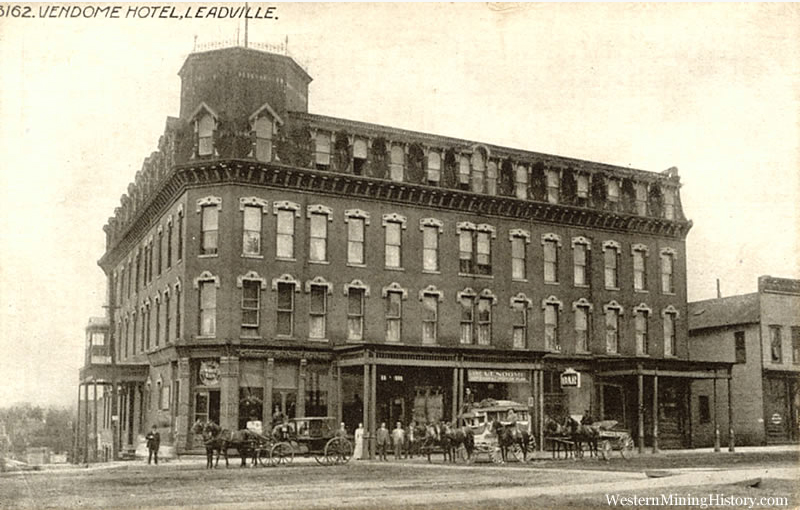
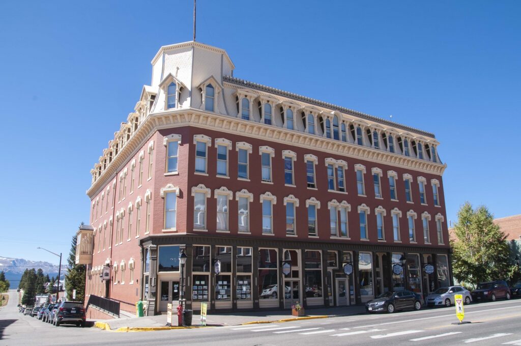
Tabor Grand Hotel a/k/a Vendome Hotel. Photo is undated.

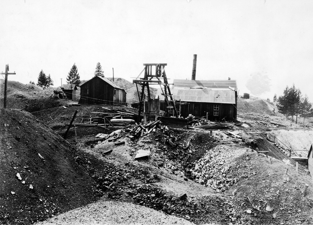
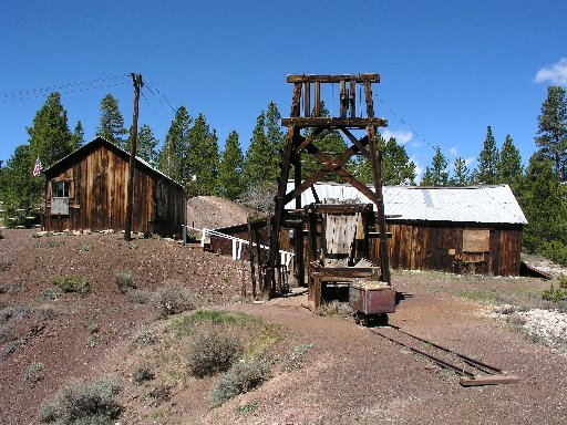
Matchless Silver Mine. Photo dated 1928.

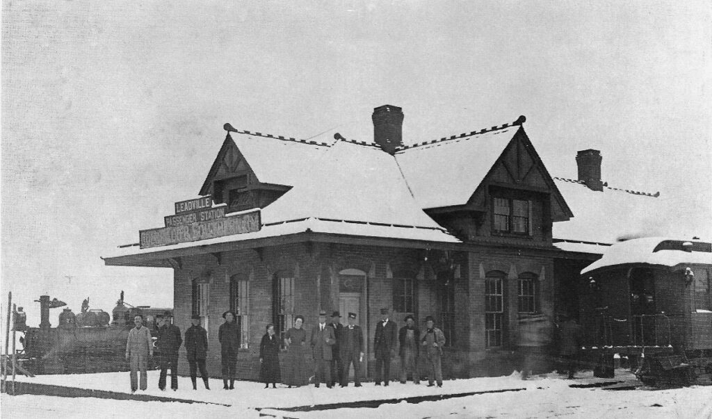
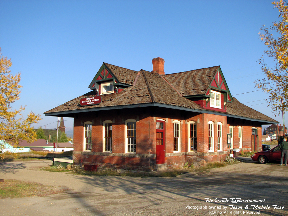
Railroad Depot. Photo dated 1915.

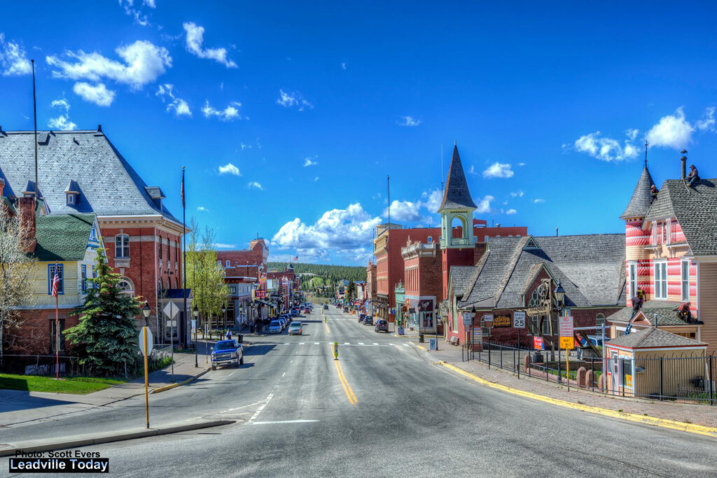
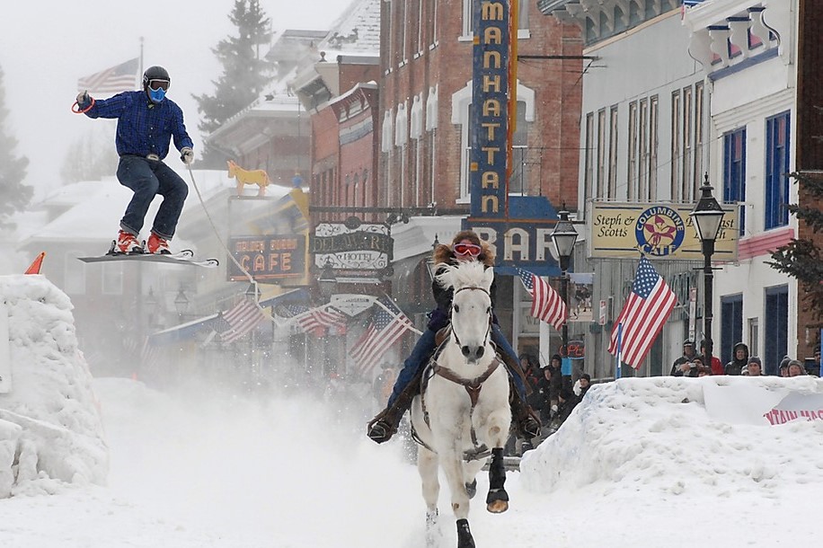
Modern day Leadville has an annual event called skijoring where a skier is pulled along by a rope attached to a horse galloping down Harrison Ave.

Categories: Uncategorized | Leave a comment

Early Tourism Part 2

Peaks Island

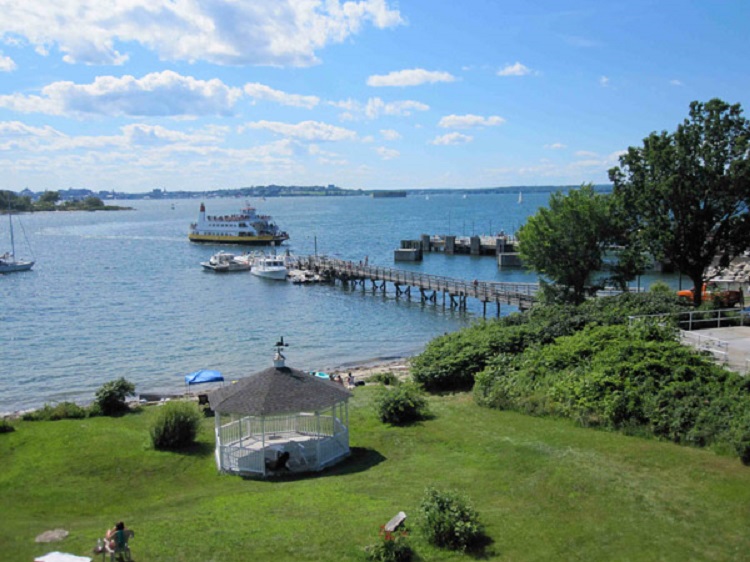
Peaks Island is actually part of the city of Portland Maine, three miles away. It consists of 720 acres and was once known as the Coney Island of Maine. Ferry boats have been landing there since 1880. The first photo is dated 1910.
Atlantic City Boardwalk

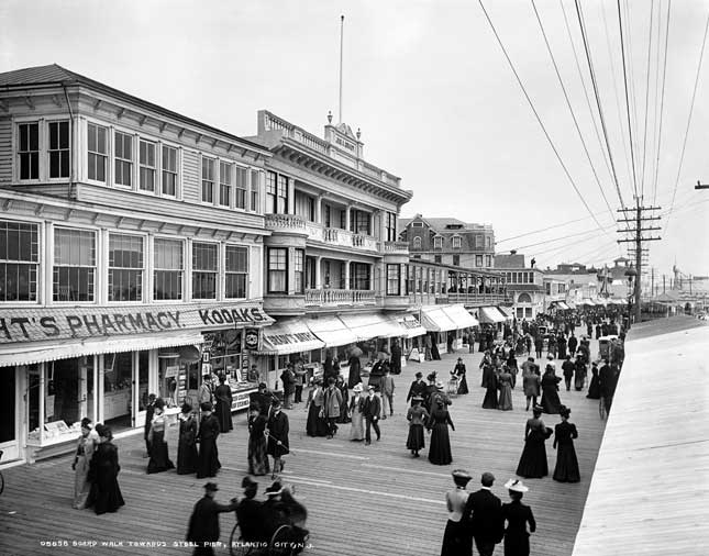
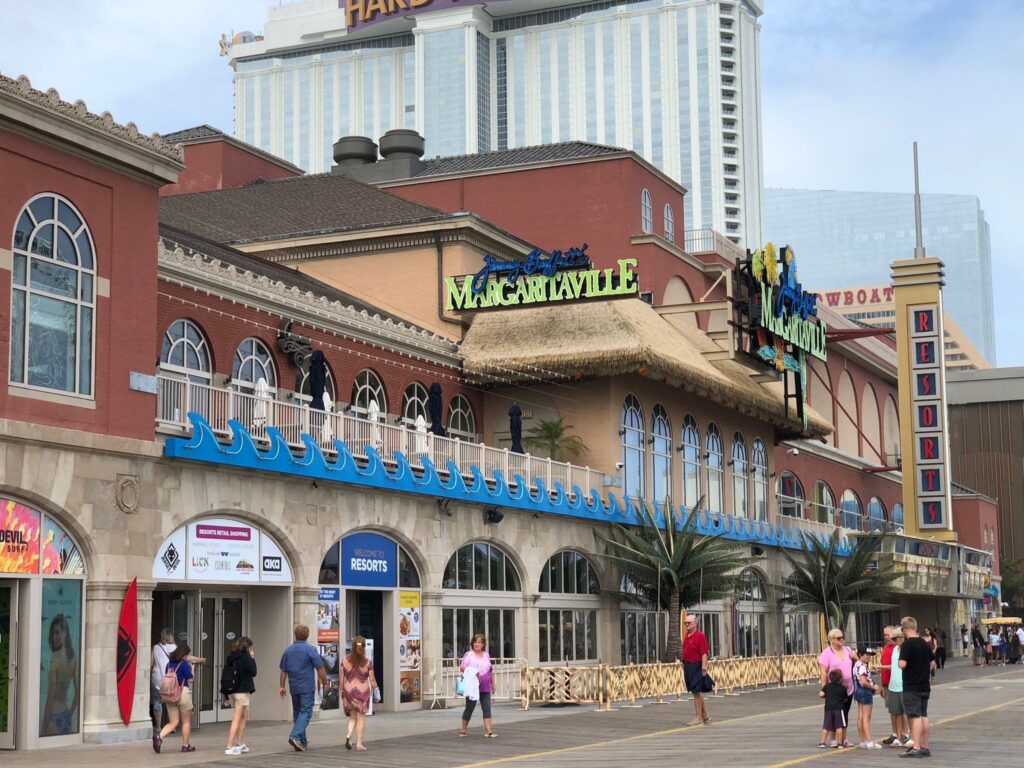
The first boardwalk in Atlantic City NJ was built in 1870 and was intended to keep sand out of the hotels along the beach. The golden age of Atlantic City was in the 1920s, as liquor flowed openly even though Prohibition was in effect. Later on the boardwalk began to fade but was saved by legalized gambling in the late 1970s. The first photo is undated.

Pikes Peak CO.

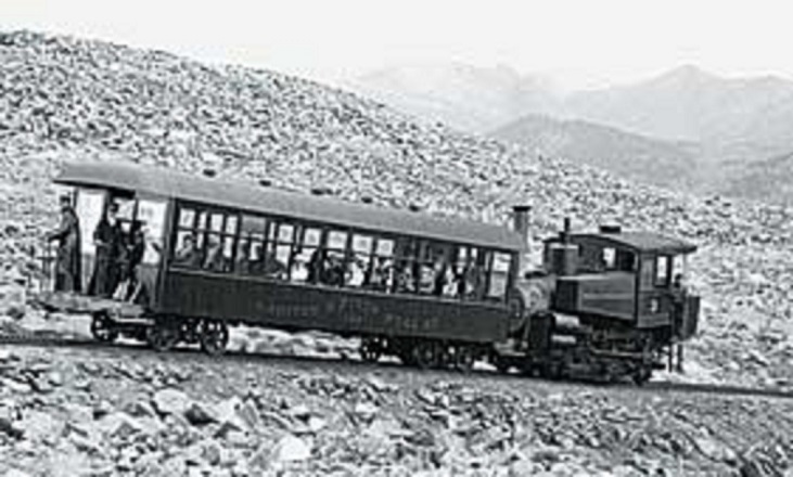
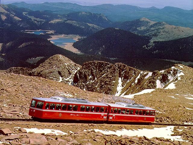
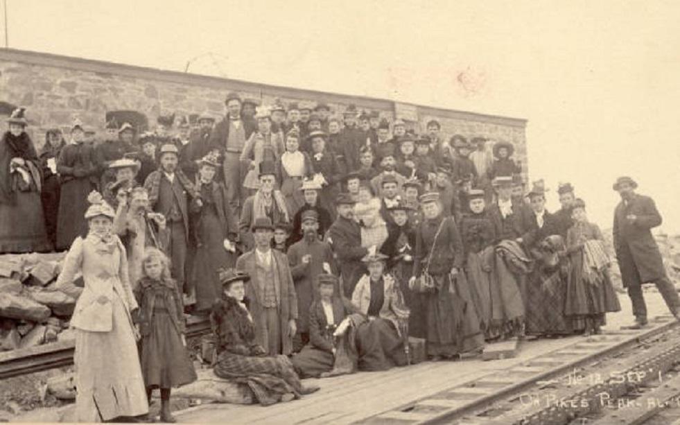
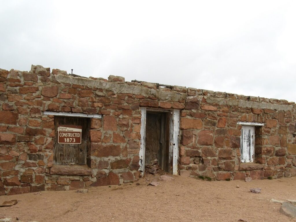
Pikes Peak sits at an elevation of 14,115 ft. It can be reached by the longest (nine miles) cog rail system in the world, which began service in 1891. Two years later, during a trip on the railway, Katharine Lee Bates was inspired to write “America the Beautiful.” Following a three year, 100 million dollar renovation, the railway opened again on May 27, 2021. The first photo is undated and the third was taken in 1892.

Daytona Beach FL.

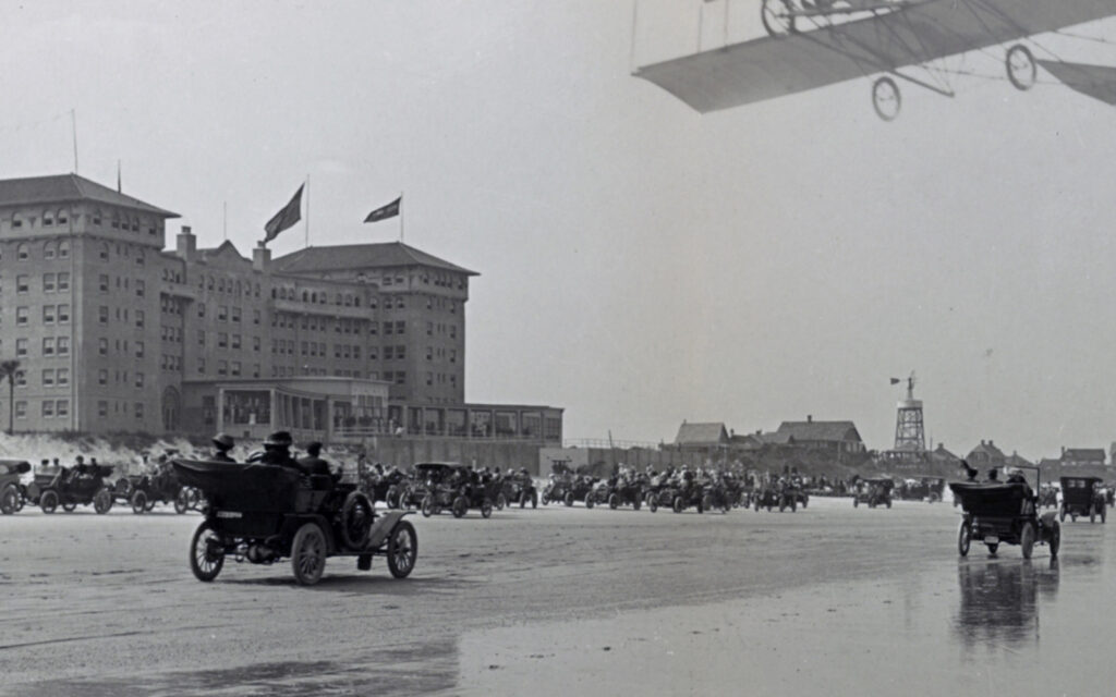
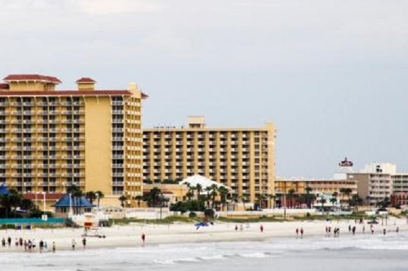
In 1926 four towns in Florida merged to become Daytona Beach. Its wide, smooth, and compacted sand had been attracting car and motorcycle races since 1902. In its hay day, Daytona Beach was known as “The world’s most famous beach.” The first photo is undated.

Early Means of Transportation

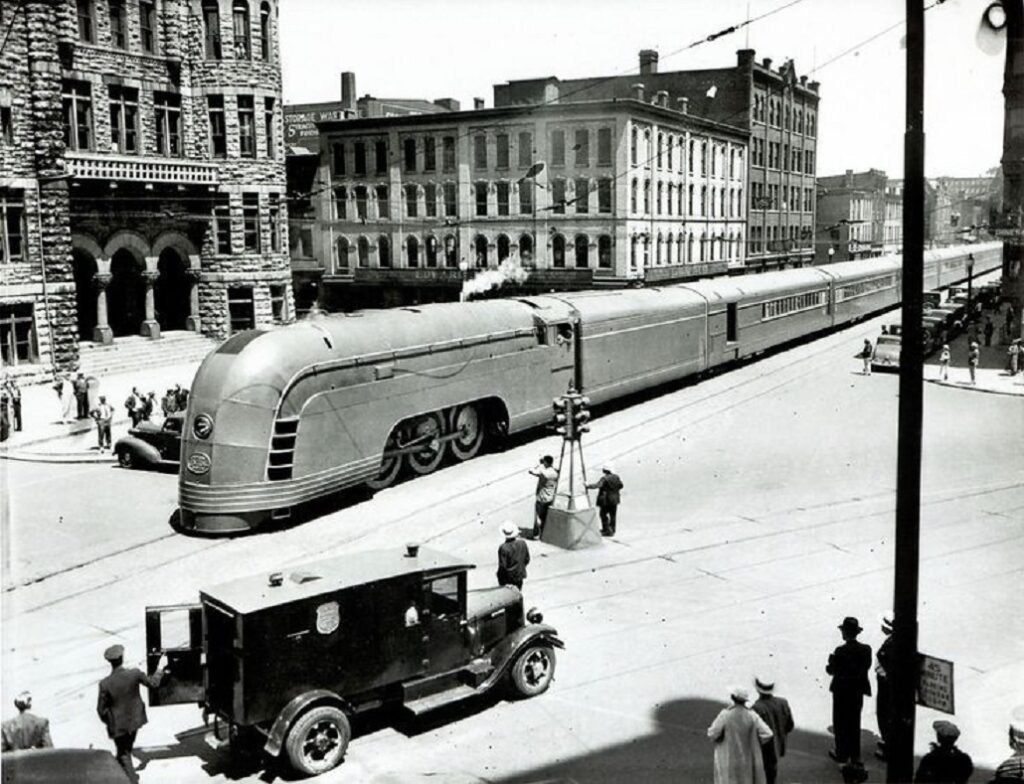
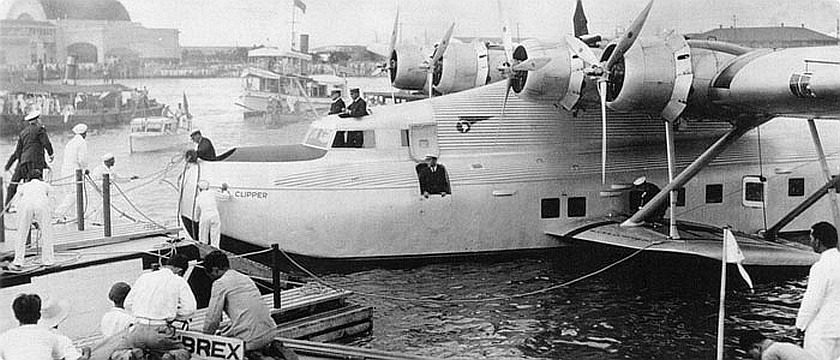
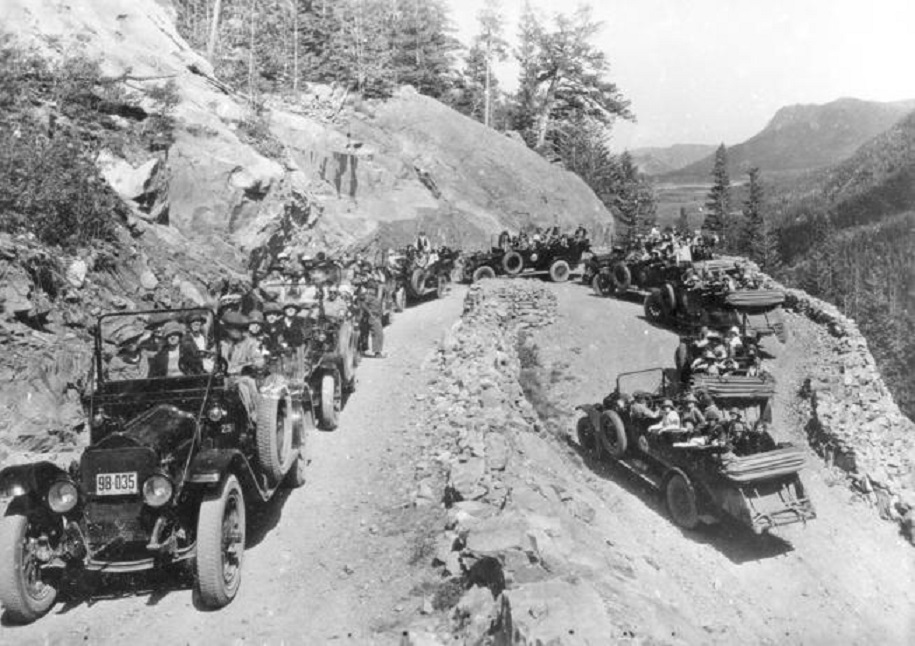
Tourists traveled to their destinations by:

Trains

Planes

and Automobiles

Categories: Uncategorized | Leave a comment

Early Tourism Part 1

The first major tourist attraction in the U.S. was Niagara Falls in the mid 19th Century followed by Yellowstone National Park. It was not until after World War II that mass tourism took off. Early tourism can, therefore, be viewed as early 20th Century up to the late 1930s. Several of the leading destinations are listed below.

Coney Island

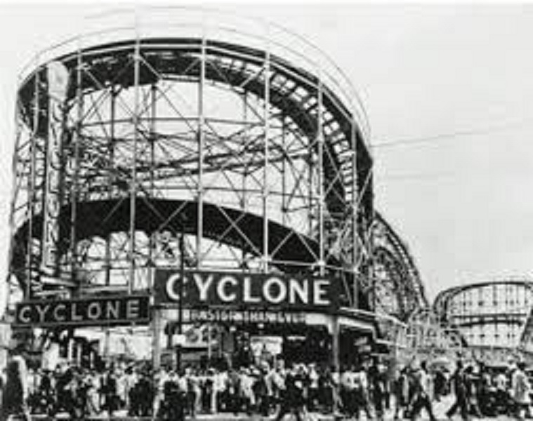
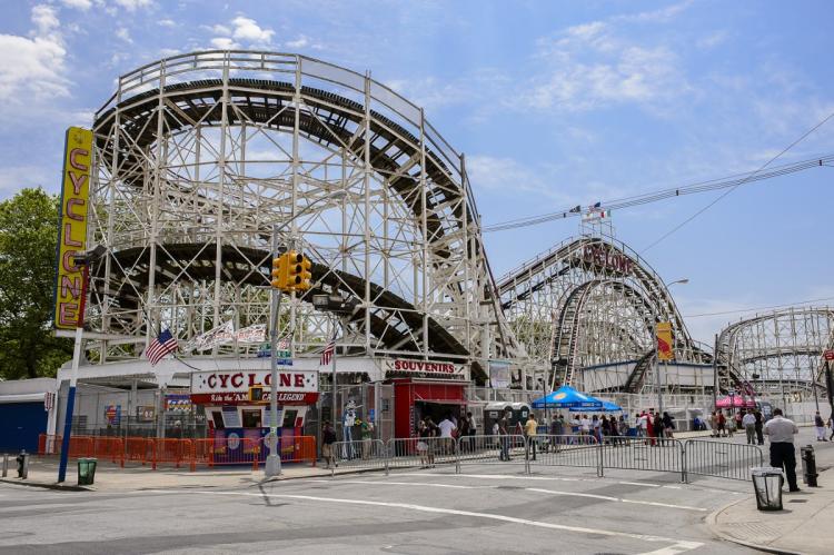
Coney Island was the largest amusement park complex in the U.S. from the 1880s to World War II. One of the main attractions was the Cyclone roller coaster built in 1927, and it is still in use today. The first photo is dated 1927.

Grants Tomb

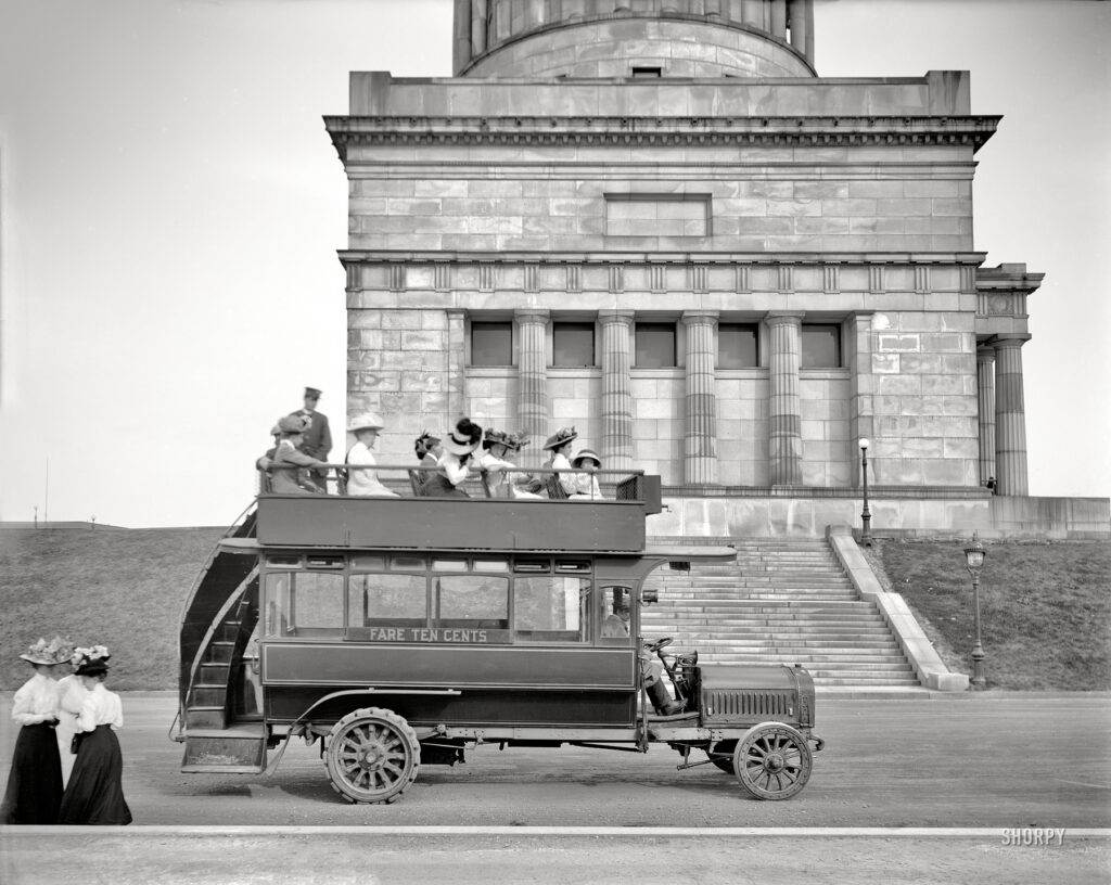
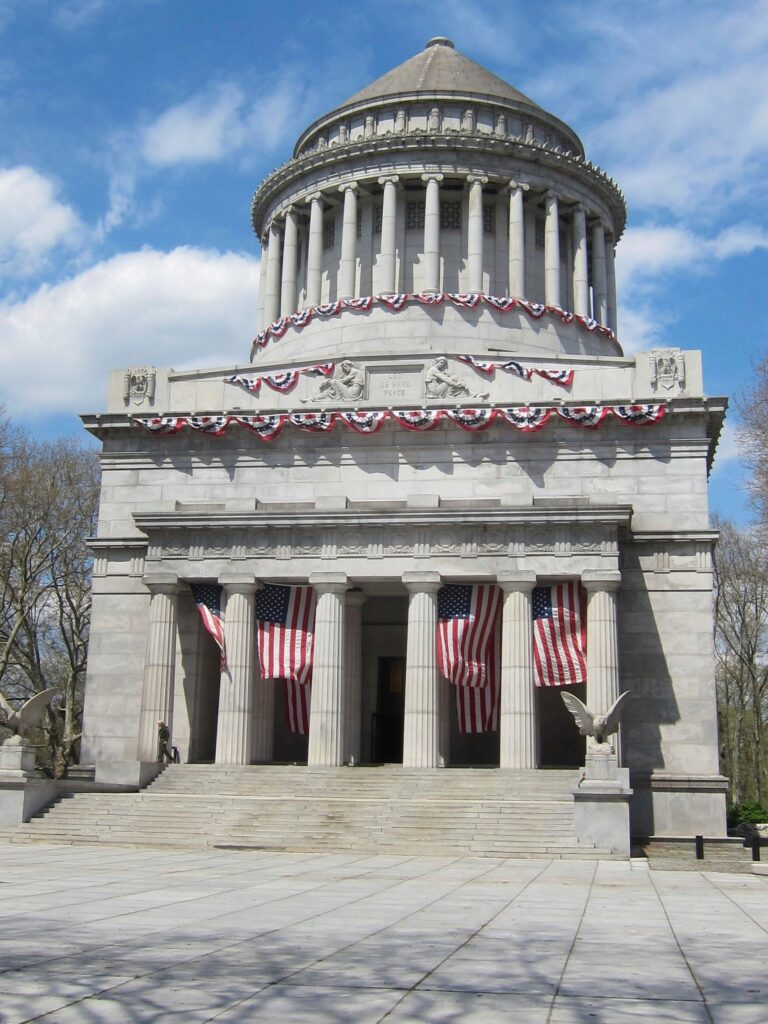
Grants Tomb is located in New York City. It was opened in 1897 and is seen here in a 1911 photo.

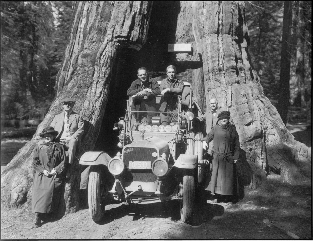
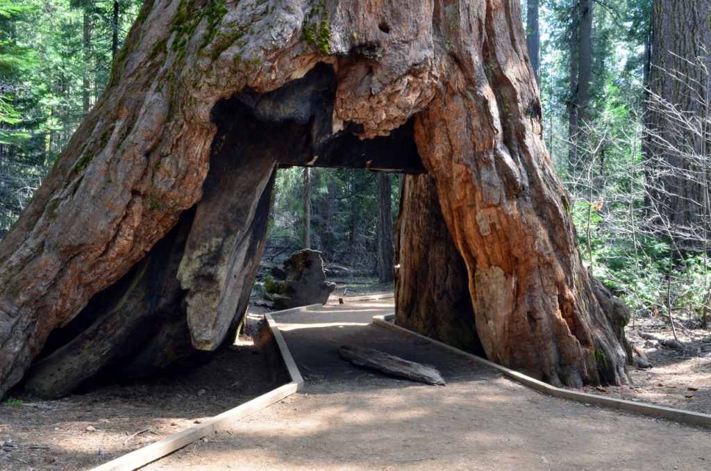
California Redwoods 1920s

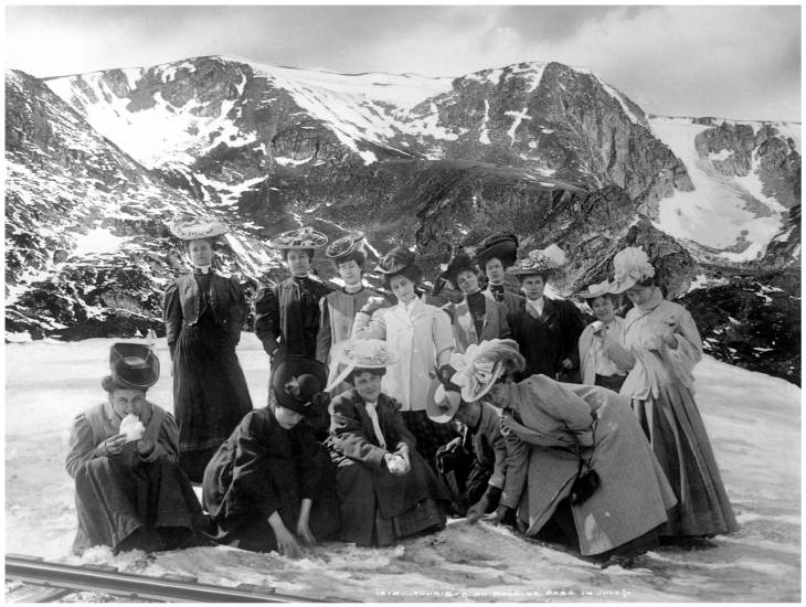
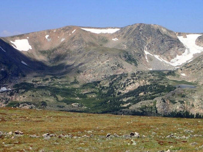
Rollins Pass

Rollins Pass is located on the Continental Divide at an elevation of 11,676 feet near Winter Park CO. It was a three-hour train trip from Denver, where trips in July were advertised as “from sultry heat to Colorado’s North Pole.” The first photo is dated 1910.
Santa Cruz Beach Boardwalk

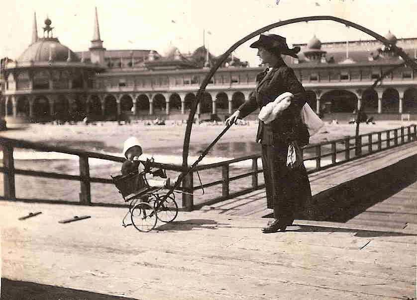
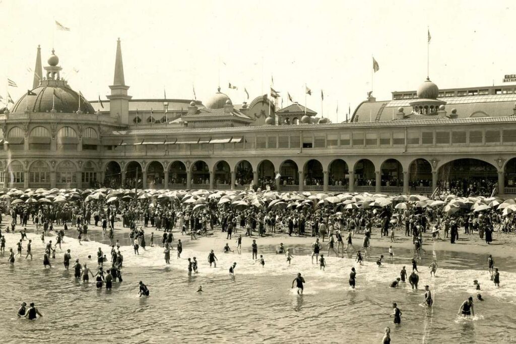
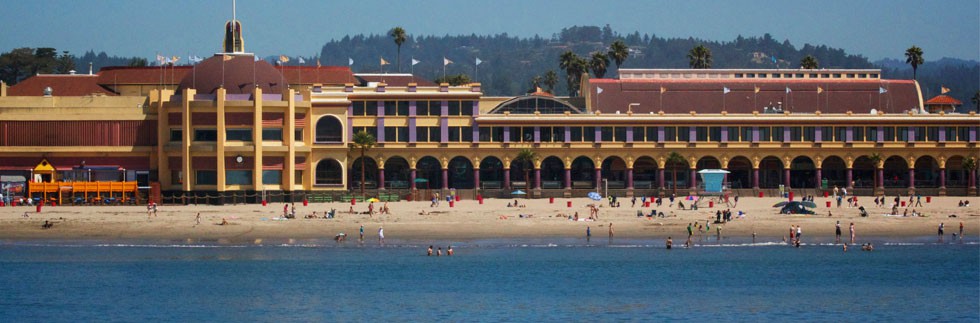
Santa Cruz Beach Boardwalk is located in Santa Cruz CA. It opened in 1907 and was called “The West Coast Coney Island.” It has been a major tourist destination ever since. The first photo is dated 1912 and the second 1925.
Seaside OR

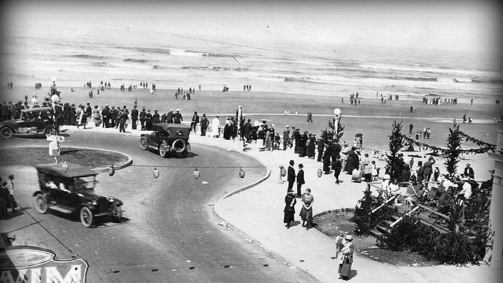
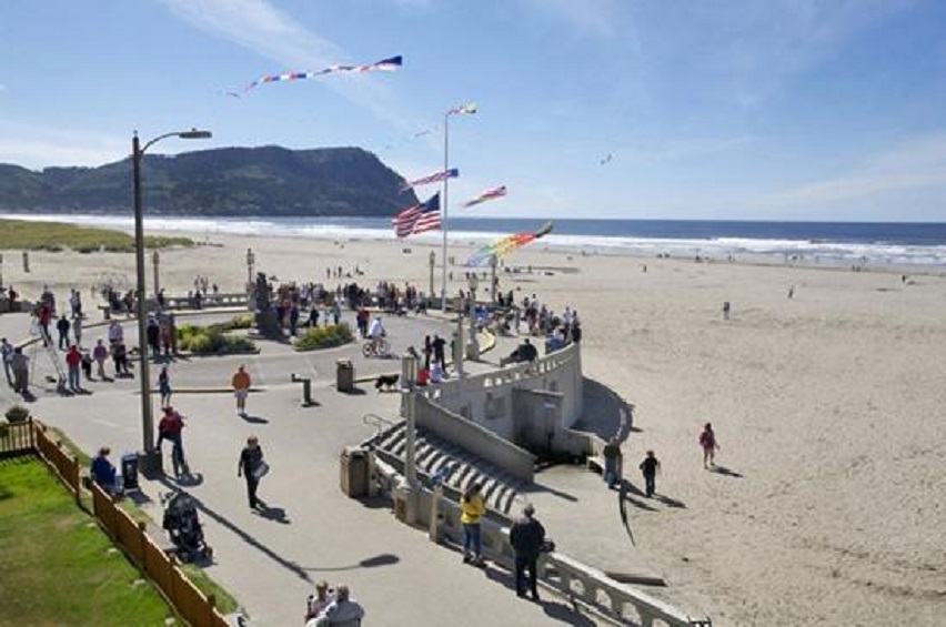
Much further up the west coast is another beach destination in Seaside OR. Known as the Seaside Historical Promenade–a fifteen-foot-wide walkway along the Pacific Ocean. Also known as The Prom, it includes a turnaround where the street meets the ocean. The Prom is 100 years old this year as is the first photo.

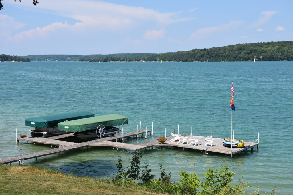
Walloon Lake

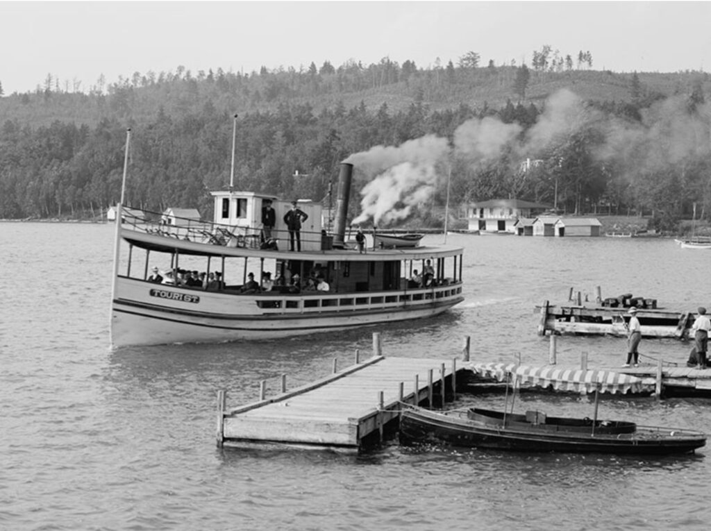
Walloon Lake is located on the northern tip of Michigan’s Lower Peninsula. It was frequented by Chicagoans, in particular, with the most notable being Ernest Hemingway. He spent many summers at the family cottage, which is still owned by the Hemingway family. The first photo, showing the steamship Tourist, is undated.

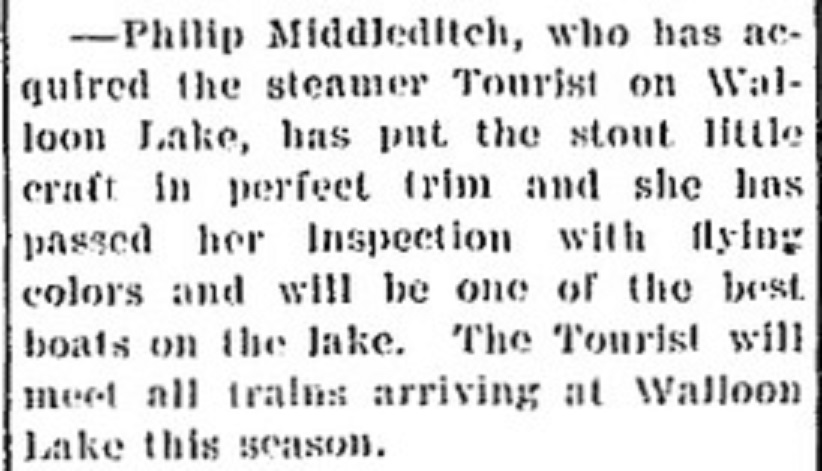
Petosky Evening News June 24,1910

Categories: Uncategorized | Leave a comment

Gloucester, MA

Gloucester MA is located on Cape Ann. It was founded in 1623, but, due to harsh conditions, it was abandoned in 1626. It was finally incorporated in 1642. The company Gortons of Gloucester was started there in 1906. Rudyard Kipling’s Captains Courageous was filmed there as was Stephen King’s The Perfect Storm. Currently, National Geographic’s Wicked Tuna is set there.

Notable sites around town are:

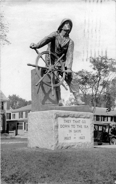
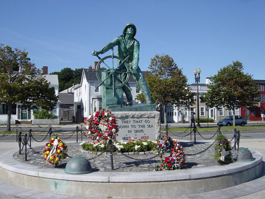
Gloucester Fishmans Memorial

The monument stands eight feet tall and overlooks Gloucester Harbor–America’s oldest seaport. It was built to commemorate Gloucester’s 300th anniversary and memorialize the thousands of fishermen who were lost at sea. The first photo is dated 1927.

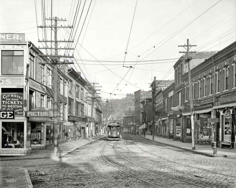
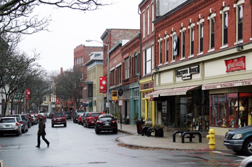
Main St.

The first photo is dated 1910.

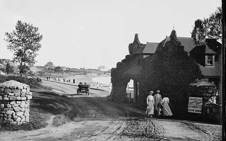
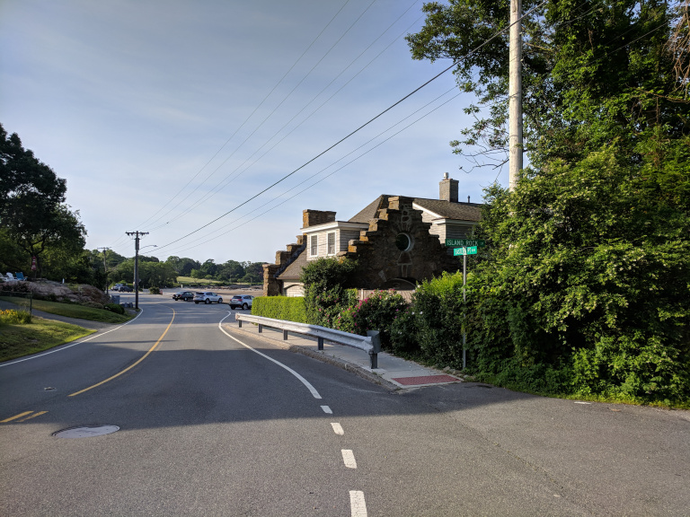
Gate Lodge at Niles Beach

Gate Lodge was built in 1888 and is located on Eastern Point Road, which leads to the Eastern Point Lighthouse. The first photo is dated ca.1905.

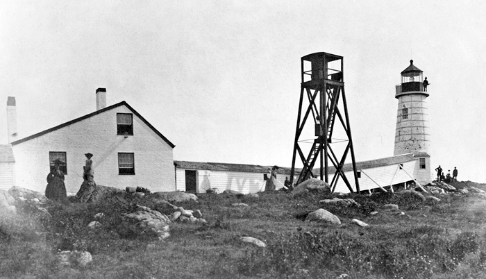
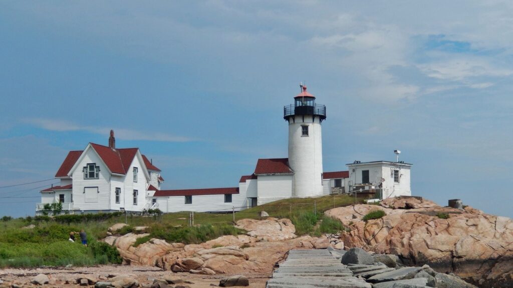
Eastern Point Lighthouse

The Lighthouse was built in 1848, and a new dwelling was constructed in 1879. Winslow Homer spent the summer of 1880 there painting his famous seascapes. The first photo is dated 1848.

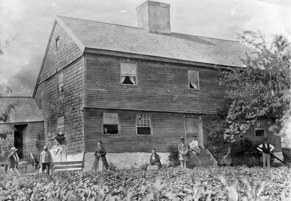
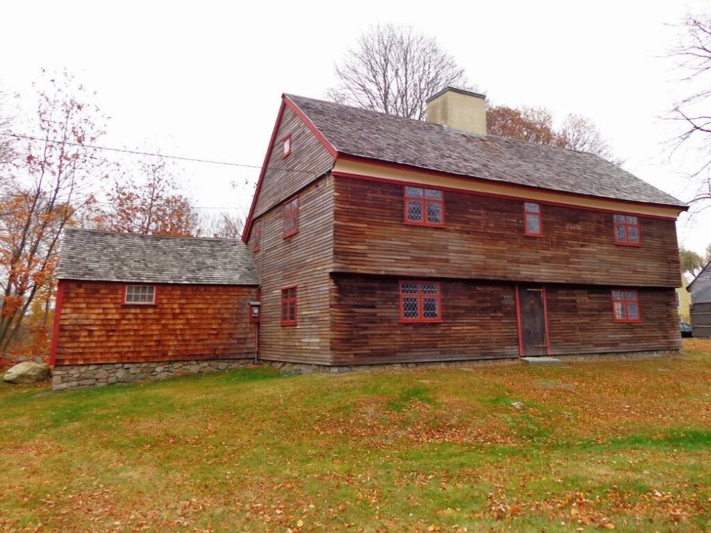
White-Ellery Farm

The White-Ellery Farmhouse was built in 1710 and has been in the same family for 200 years. Due to highway construction in 1947, it was moved 100 yards and was turned over to the Cape Ann Museum. The first photo is dated 1880s.

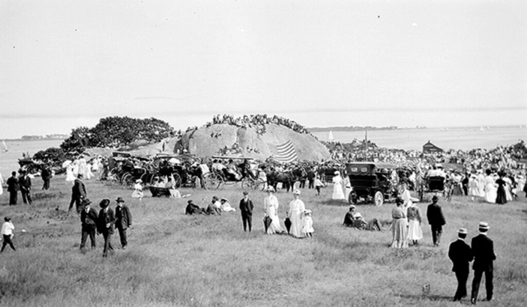
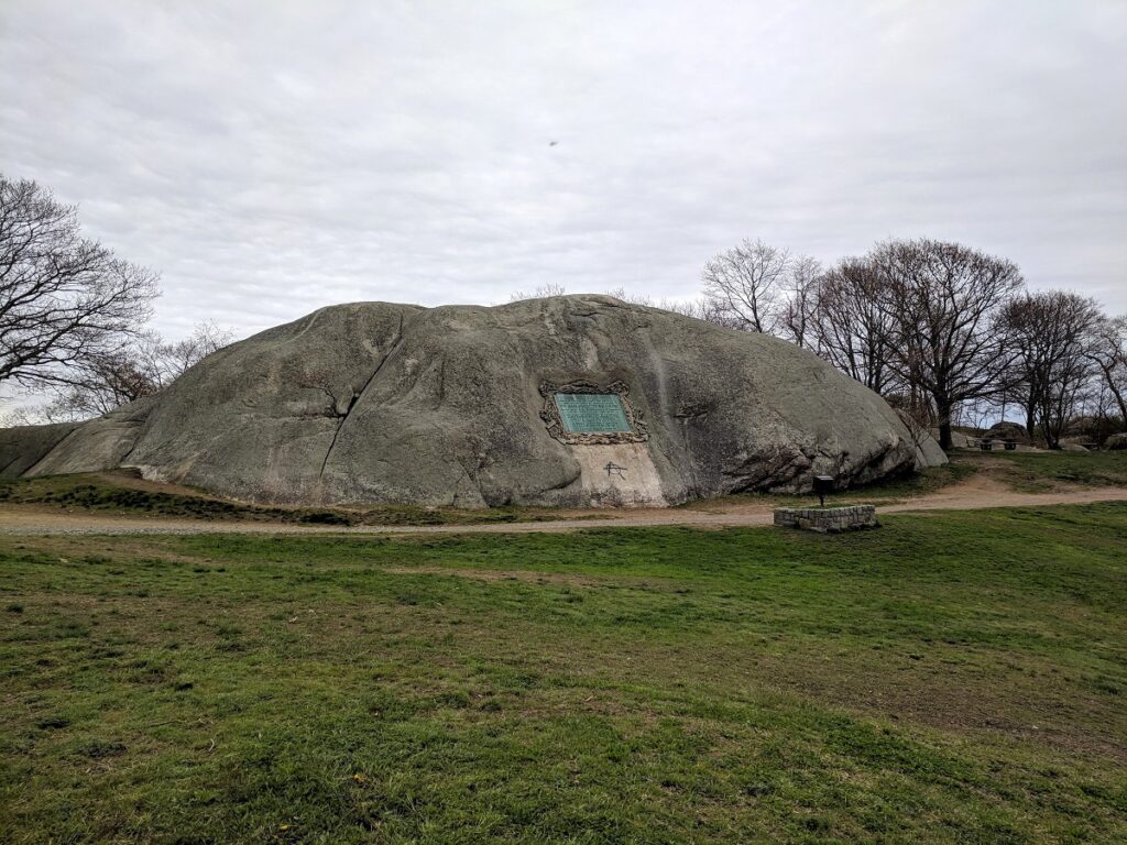
Tablet Rock

Tablet Rock is located in Stage Fort Park. The tablet was installed in 1907 to commemorate Gloucester as the first permanent settlement of the Massachusetts Bay Colony. The first photo shows the dedication.

Categories: Uncategorized | Leave a comment

Klondike Gold Rush Part 2

Chilcoot Pass

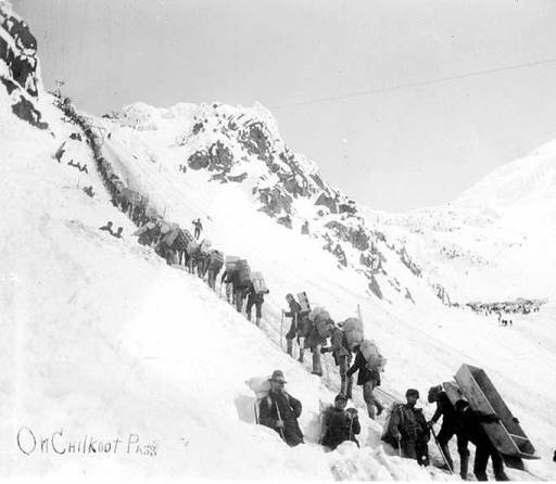
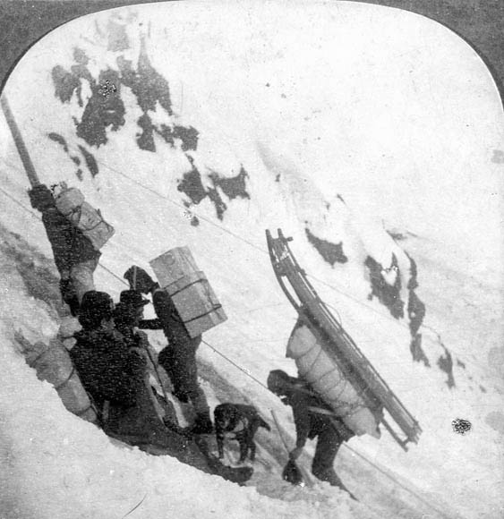
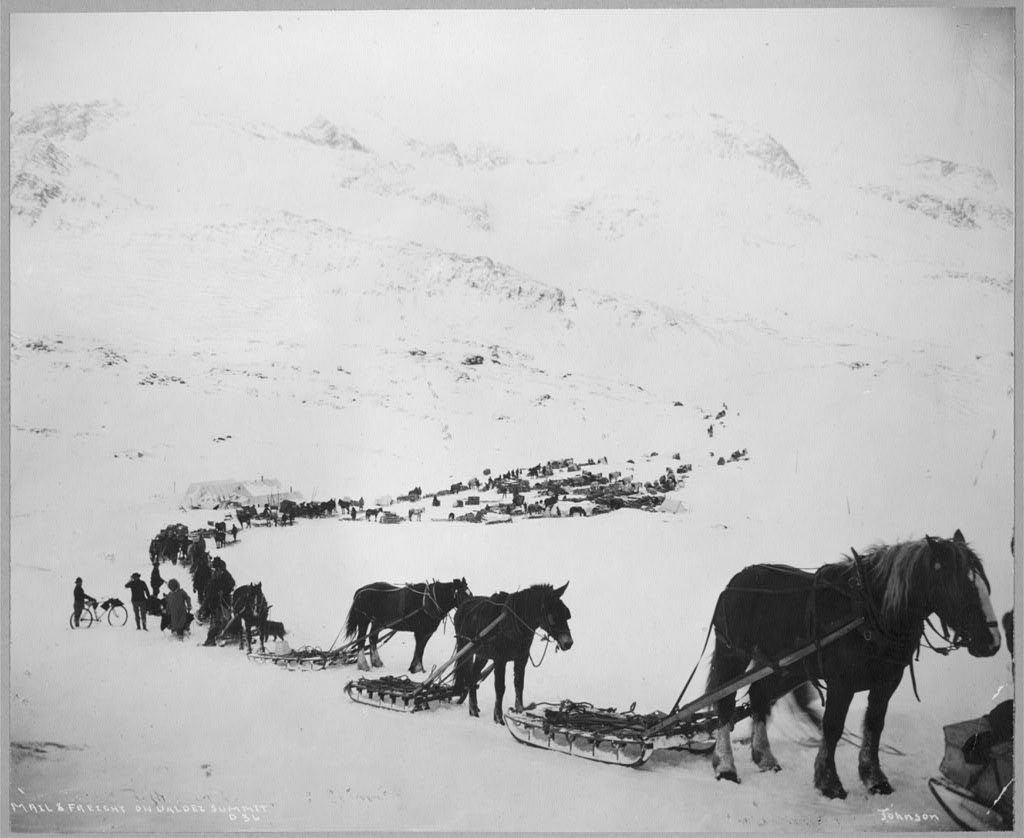
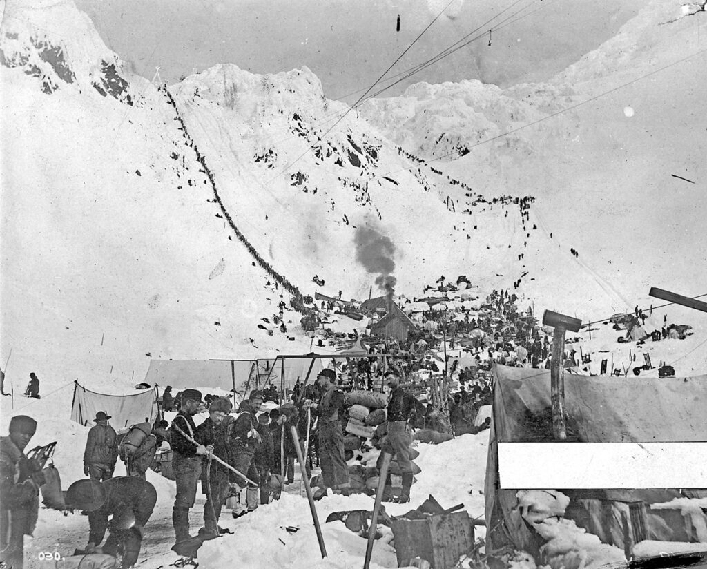
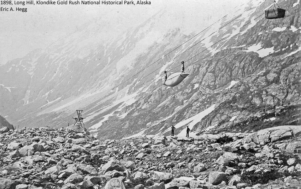
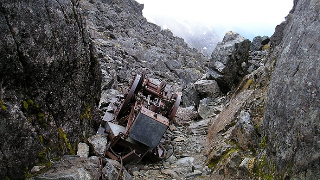
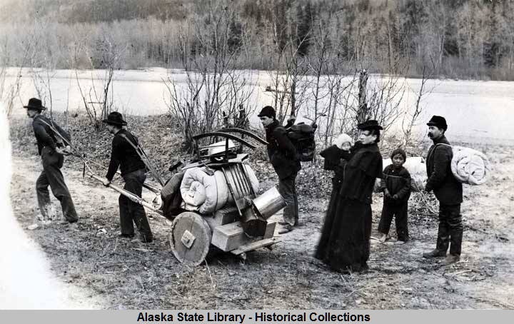
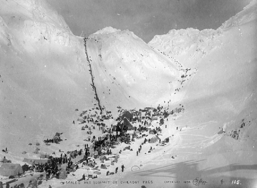
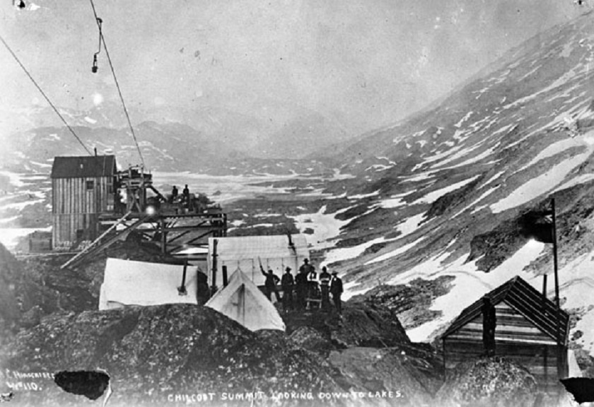
The trail to the summit was four miles long with an elevation gain of 3,500 feet. Carved into the ice and snow were 1,500 steps that became known as The Golden Staircase. The average load carried was 50 pounds, but each man had to bring up food and supplies for one year (about one ton) or the Royal Canadian Mounted Police would not allow entry into Canada. This meant it took an average of three months to get everything to the top! Eventually, five tramways were built which helped considerably. Notice the boat, sled, and bike in the following pictures.

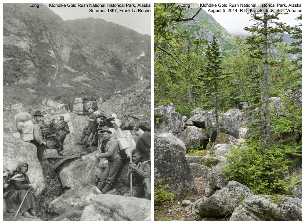
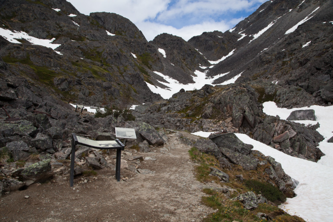
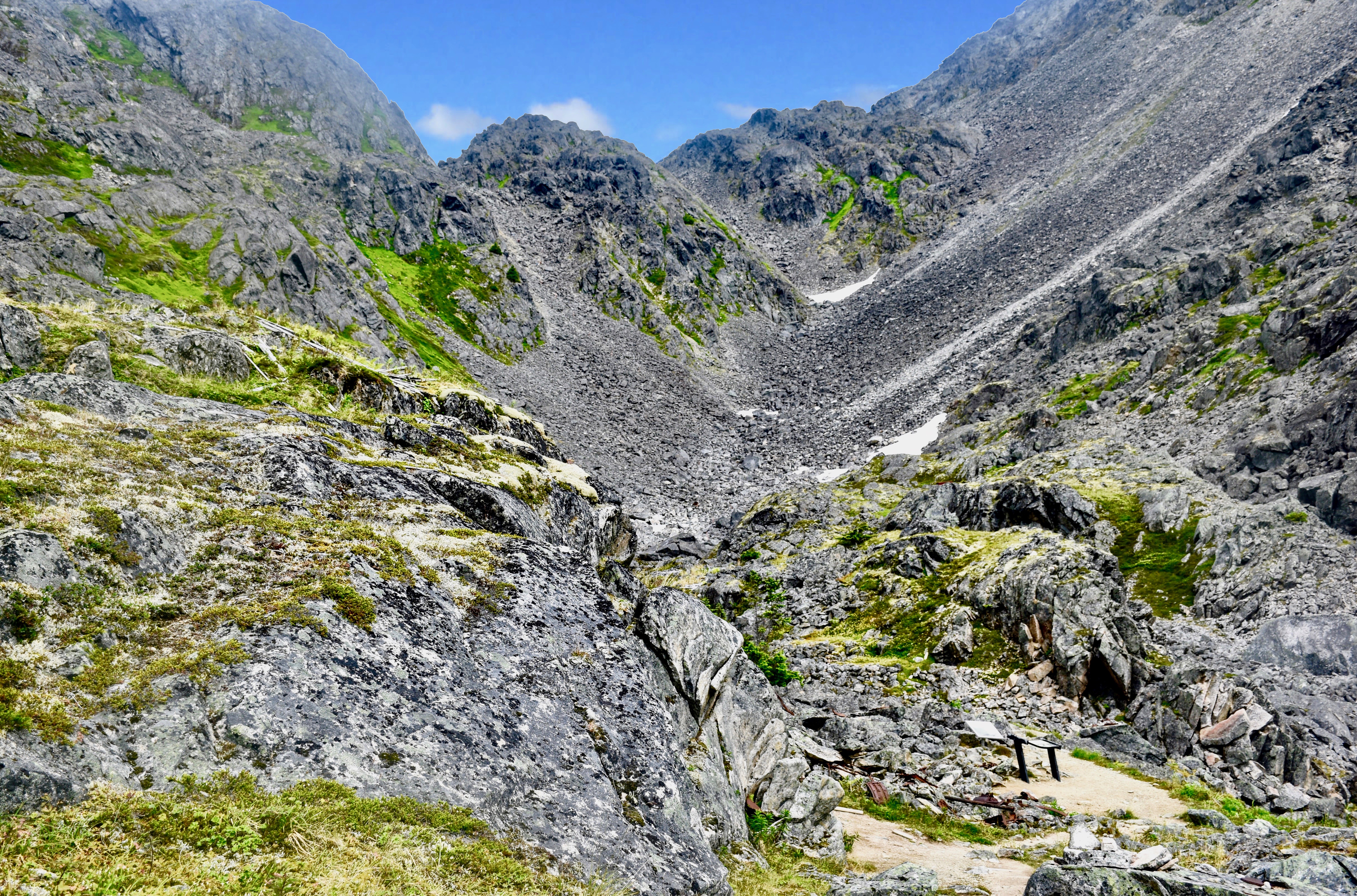
An area known as The Scales was a flat basin on top of Long Hill, and it was used as a staging area for the ascent. Long Hill is seen here in a then-and-now photo provided by the National Park Service.

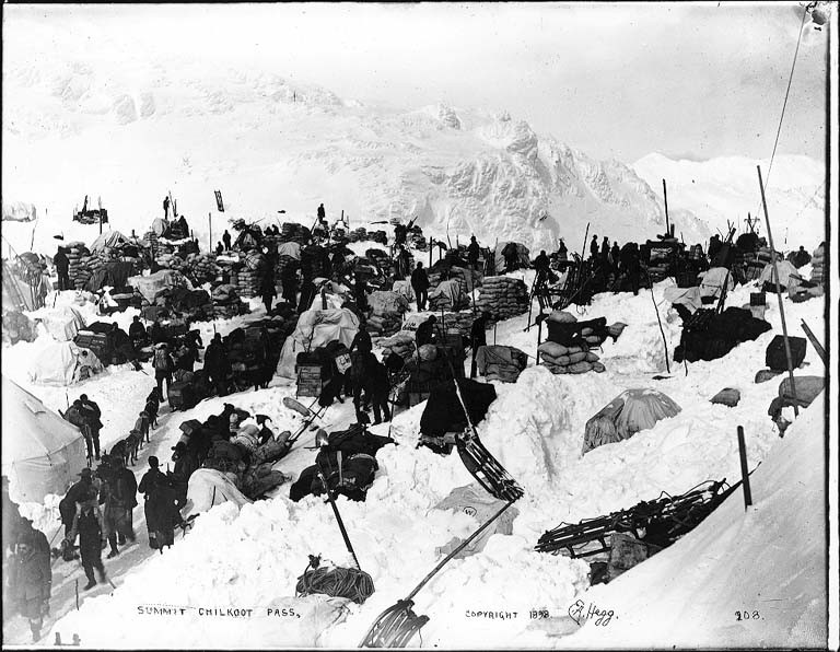
The Summit

Sliding back downhill for another load

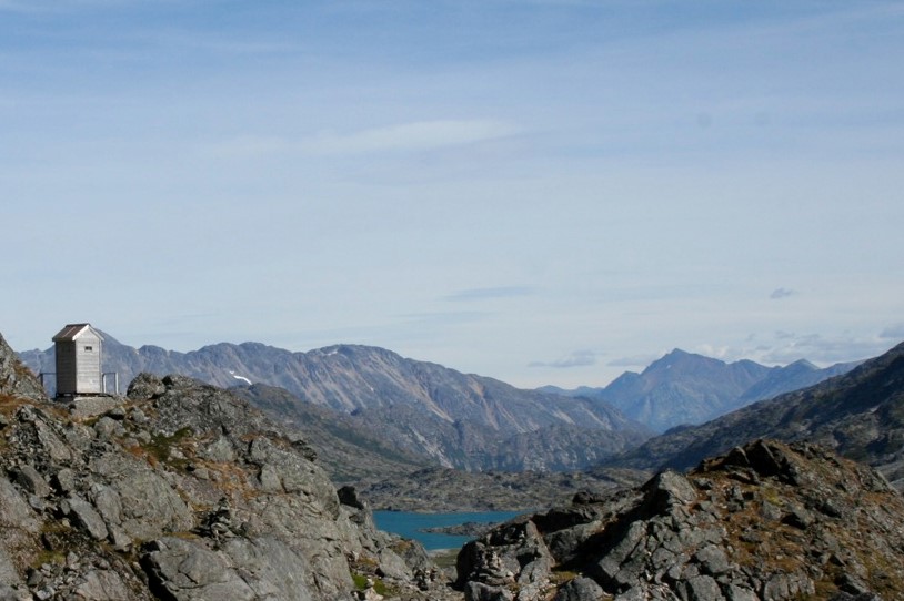
There are remnants of the Gold Rush still visible.

Discarded canvas boats

When the Gold Rush was over in 1899 many left to seek their fortune in Nome where gold was just discovered!

For a superb narrative with numerous photos of the entire trek, including a miner’s life in the Yukon after reaching the summit, see The Klondike Quest by Pierre Berton.

Categories: Uncategorized | Leave a comment

Klondike Gold Rush Part 1

Gold was discovered in a tributary of the Klondike River in Canada in 1896, but word did not get out until the winter thaw in June 1897. A stampede of 100,000 people set out, but only about 35,000 actually made it to the Klondike. By 1899 it was all over. Most people had no experience at mining and no idea where to go once they got there, and getting there meant overcoming horrendous conditions.

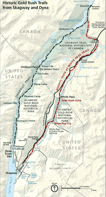
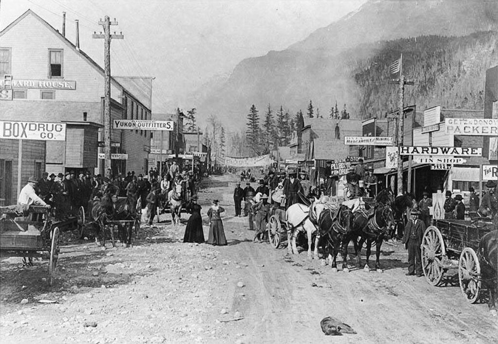
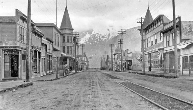
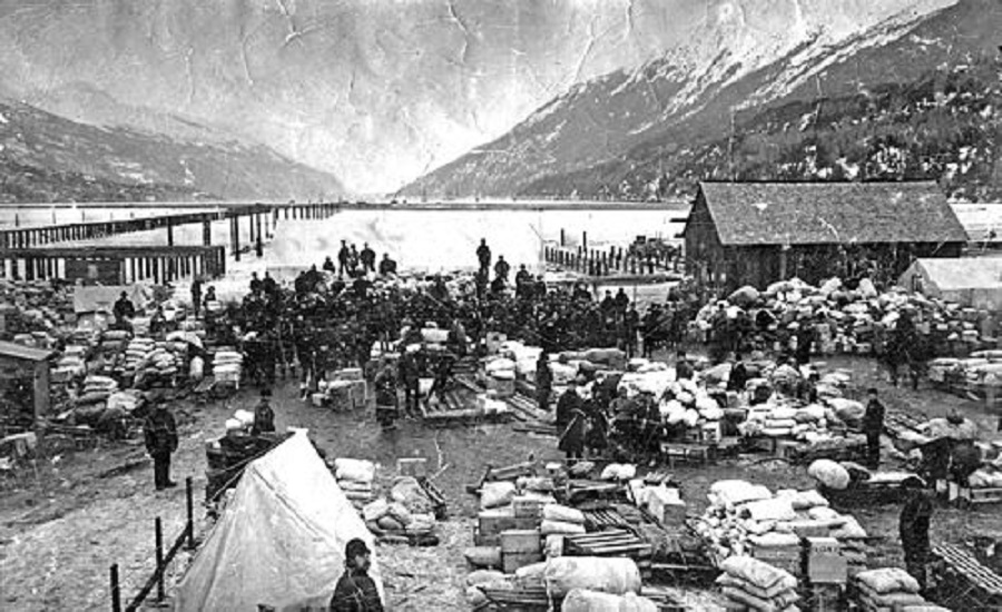
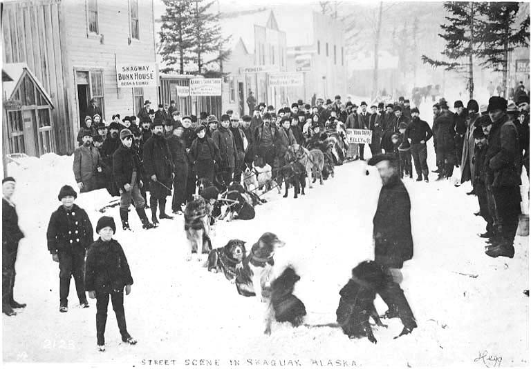
Upon arrival at the starting point, Skagway AK, a choice had to be made between the Chilkoot Trail and the White Pass Trail. Most chose Chilkoot because it was thought to be easier. Here is a map showing the two routes and stops along the way to the Canadian border.

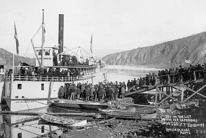
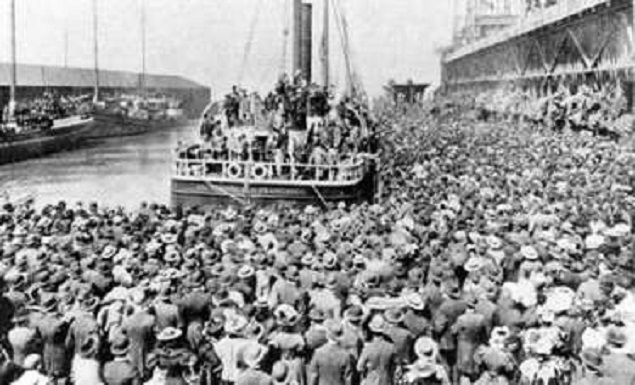
Leaving Seattle for Skagway

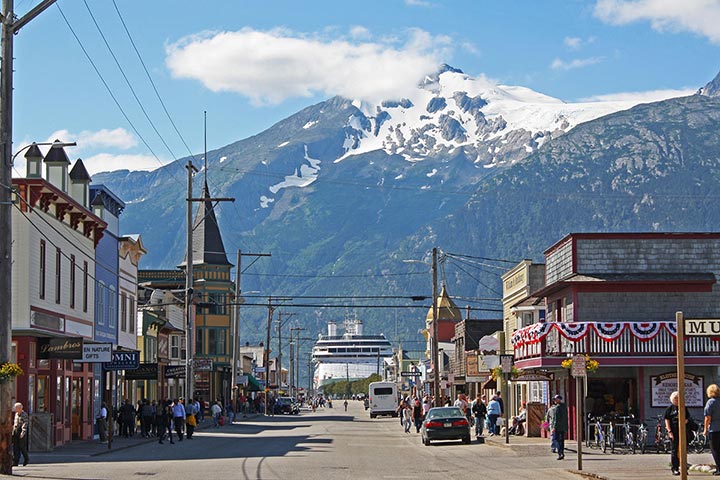
Bustling Skagway

Skagway Undated

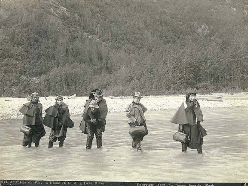
Entertainers Arriving in Dyea

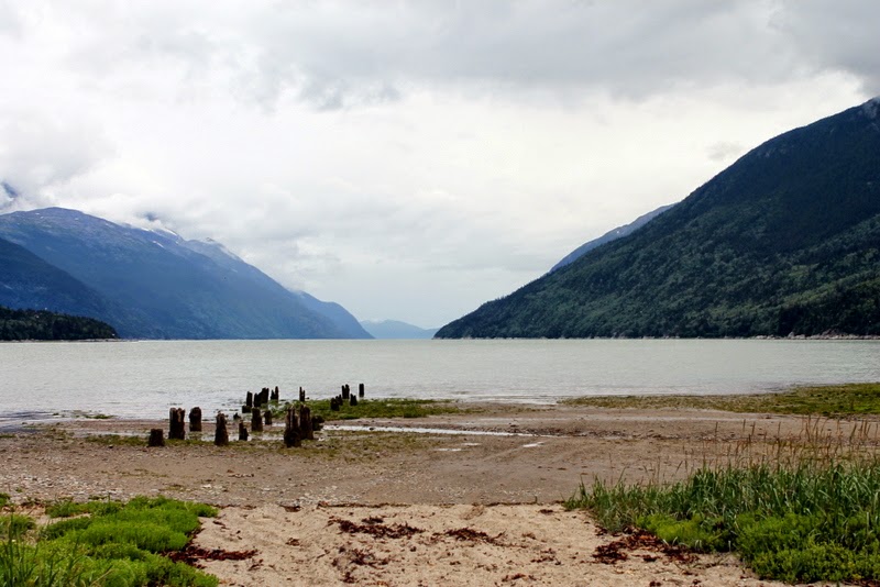
Dyea Waterfront and Start of Chilkoot Trail

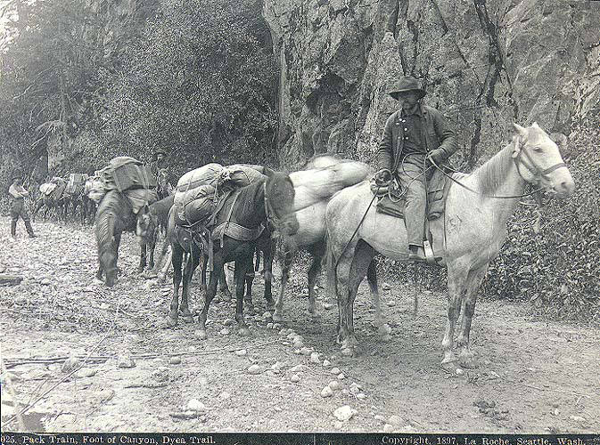
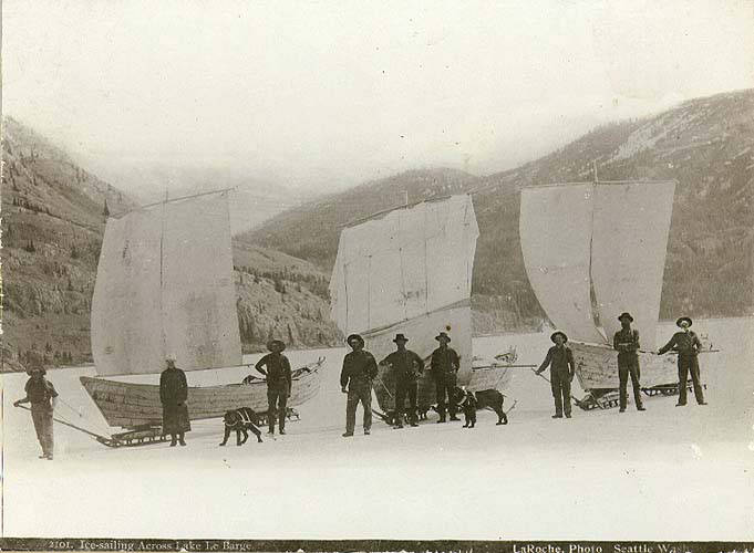
The Many Modes of Transit

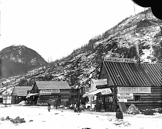
Canyon City–Stopping Point before The Golden Staircase

Trail up to Chilkoot Pass Known as The Golden Staircase

Categories: Uncategorized | Leave a comment

State Capitols and Capitals, Part 2

Minnesota

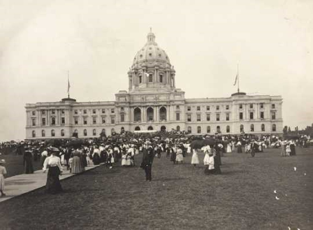
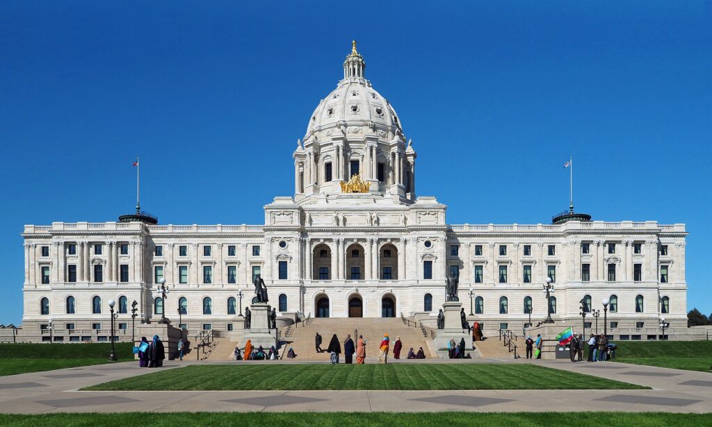
Home to the longest shoreline of any city on the Mississippi River (26 miles), St. Paul is the site of the current (and third) Minnesota statehouse. Construction began in 1886 when Minnesota had been a state for only 37 years. It opened in 1905 at a cost of 4.5 million dollars (126 million today). In 2017 a 310-million-dollar restoration was completed. The first photo is dated 1905.

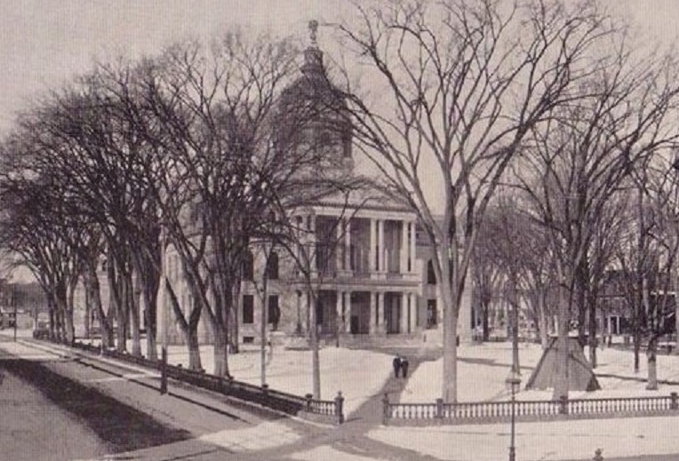
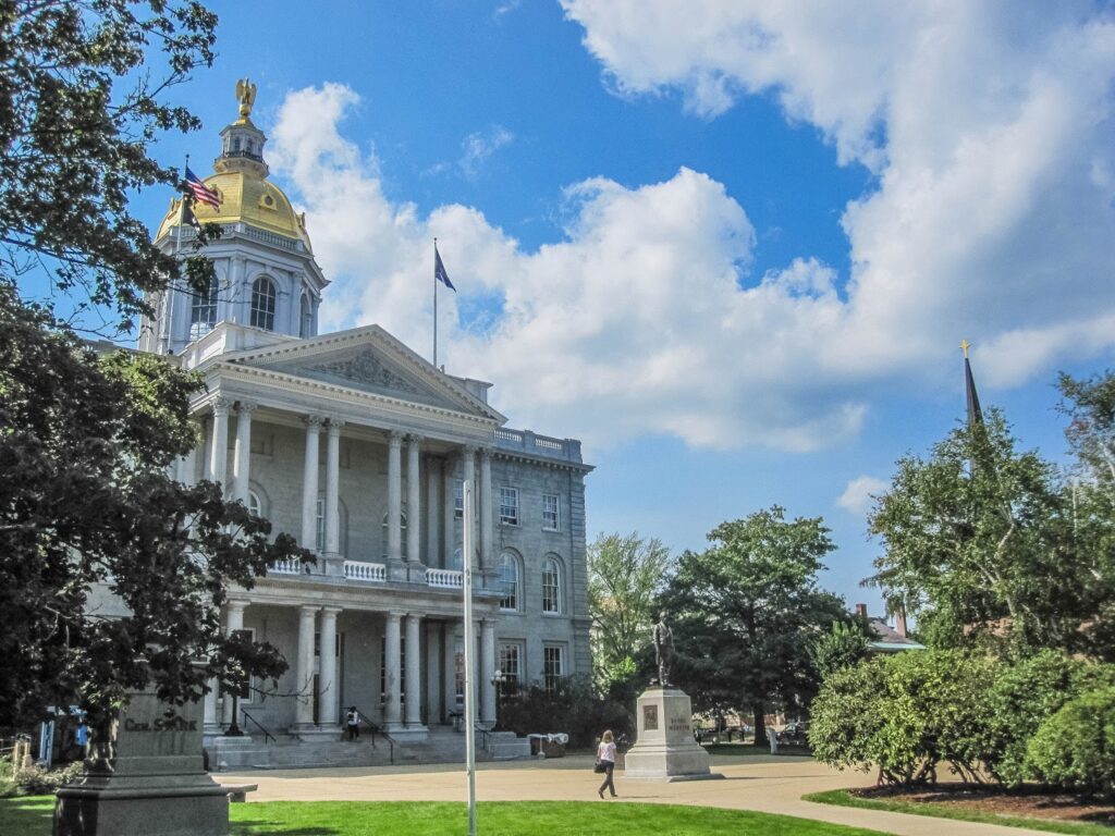
New Hampshire

New Hampshire’s capitol is located in Concord where the first alarm clock was invented in 1797. It is the oldest capitol where both houses occupy their original chambers. The building’s construction began in 1816 and lasted three years. It is the fifth oldest capitol

New York

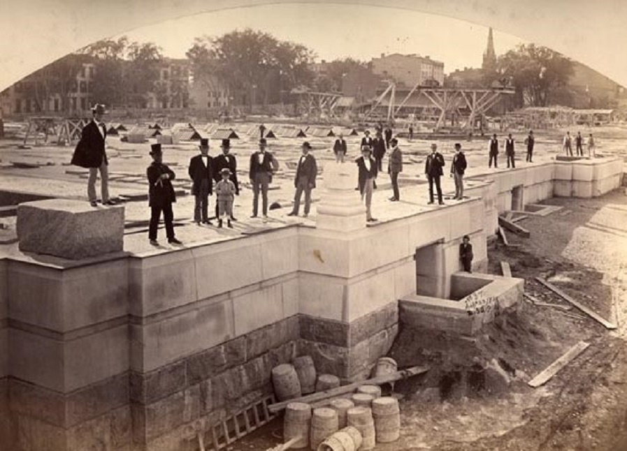
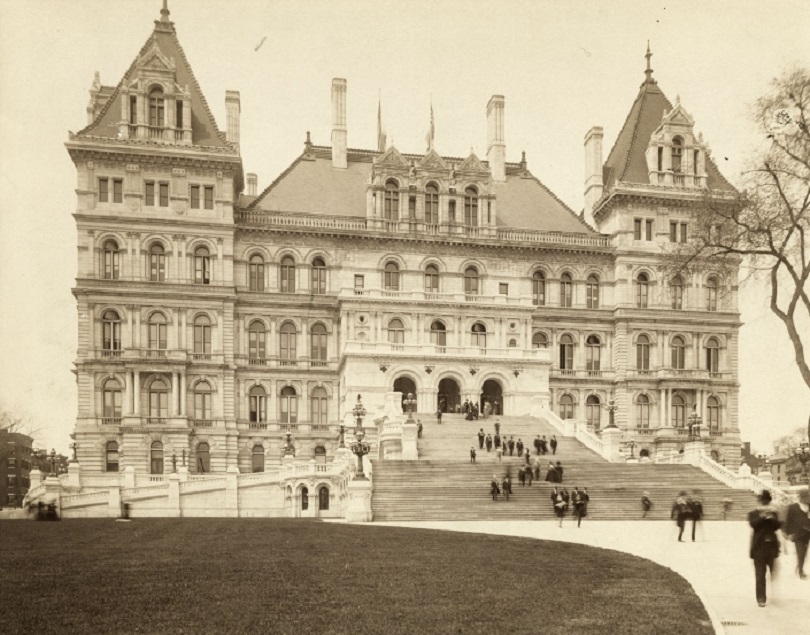
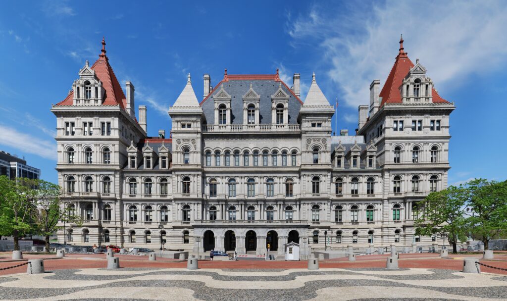
New York’s capitol is located in Albany. The building was built by hand and took 32 years to complete–1867-1899. It has been said that reporters wanting to talk with the then governor Teddy Roosevelt (1899-1900) had to beat him up the 77 steps of the capitol to get an interview. The first photo seems to show some politicians anxiously awaiting a look inside their new building. If so, they would have to wait another 28 years!. The second photo is dated 1899.

Utah

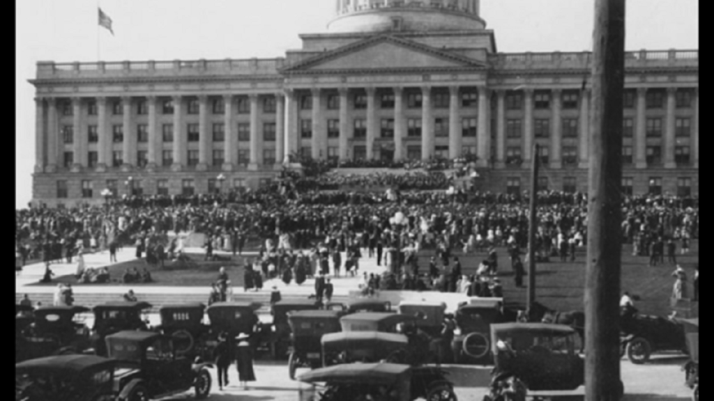
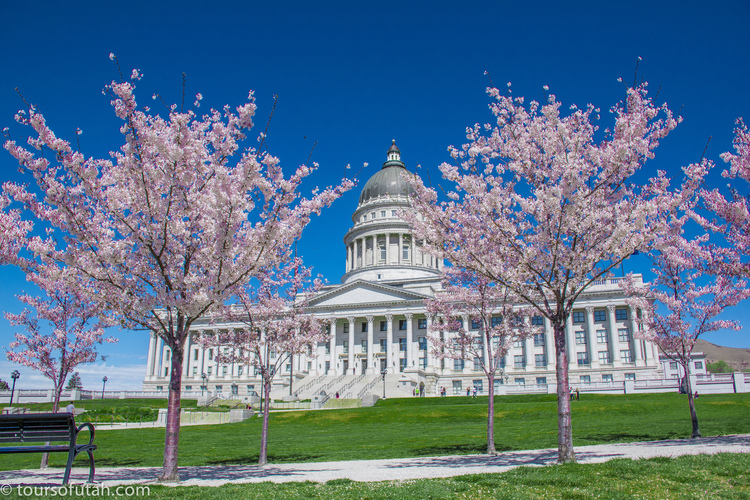
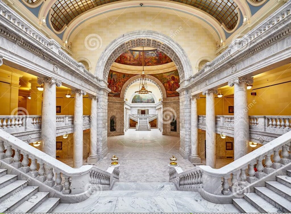
Utah’s capitol is located in Salt Lake City. The building opened in 1916, has a stunning marble interior, and underwent a 310-million-dollar renovation in 2017. Oddly, Salt Lake City is home to more non-Mormons than Mormons. Also, the city is not dry; it has 118 bars, and the first KFC franchise opened there in 1952. The first photo shows the 1916 dedication.

Texas

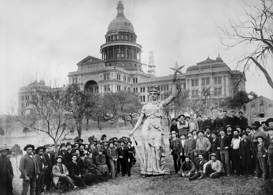
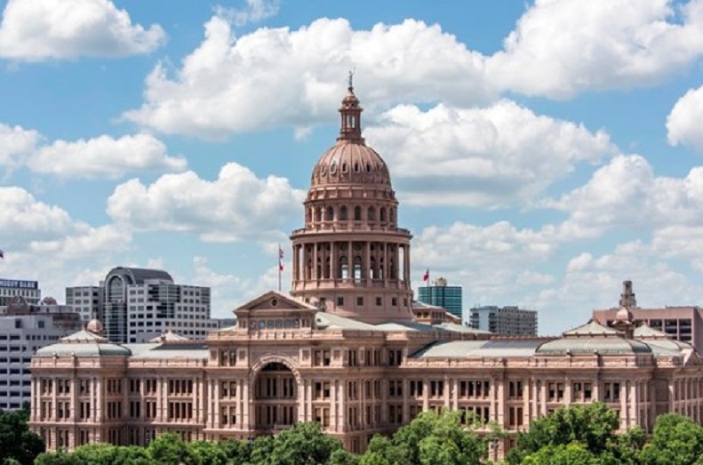
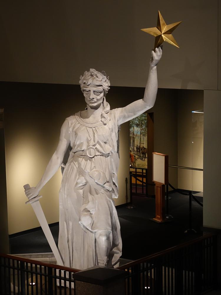
The capitol of Texas is the largest of all capitols in the U.S. It is located in Austin, which is the largest city in the country without a professional sports team, and whose motto is “Keep Austin weird.” The building was constructed between 1882-1886. It was funded by two Chicago investors who made good on their investment. They were given ten counties consisting of three million acres that eventually became the XIT Ranch, the largest cattle ranch in the world! The first photo, dated 1888, shows the Lady of Freedom statue shortly before it was installed on the capitol dome. Sixteen feet tall and weighing 20,000 pounds, the Lady of Freedom had exaggerated features so her face would be visible from 300 ft. below. A replacement was installed in 1986, and the original now resides in the Bullock Museum.

Categories: Uncategorized | Leave a comment

State Capitols and Capitals-Part 1

Vermont

The smallest state capitol (building) is located in the smallest state capital (city) , Montpelier,VT. The building was opened in 1859 making it the 8th oldest capitol in the country. Also, it is the only capital city without a MacDonalds. The first photo is dated ca.1870.

North Carolina

North Carolina’s statehouse is located in Raleigh. It was built in 1840, making it the 7th oldest. The Senate moved out in 1881, and The General Assembly moved in 1961. The statehouse is currently occupied by the Governor’s office. Raleigh is notable for having the first Historically Black College in the South, Shaw University established in 1865. Shaw was the first to admit women and also the first to offer a four-year medical degree. The first photo is dated 1861.

Colorado

The Colorado capitol is located in Denver. Construction of the building took 15 years, beginning in 1886 with the ground breaking. The cornerstone was laid four years later, and the building opened after another four years. However, it was not considered complete until 1901, 30 years after the land was donated by Henry Brown. Oddly, Denver is the site of the most beer brewed in a U.S.city: 200+different kinds per day. The first photo is dated ca.1895.

Tennessee

The Tennessee capitol is located in Nashville and was another long-term construction, 1845-1859. It is one of twelve dome-less capitols and the tenth oldest still in use. Nashville is known as “The Athens of the South” owing to it’s large number of colleges and universities. It has the only full-scale replica of the Parthenon and houses a 42 ft. statue of Athena–the largest indoor statue in the country. The first photo, showing a Union encampment, is dated 1862.

Michigan

The Michigan capitol is located in Lansing. It was built between 1873-78 and designed by the same architect who did Colorado and Tennessee statehouses. Lansing was chosen because so many larger cities were endlessly arguing about being the chosen one. The first photo is dated 1899.

Categories: Uncategorized | Leave a comment