Castle Rock
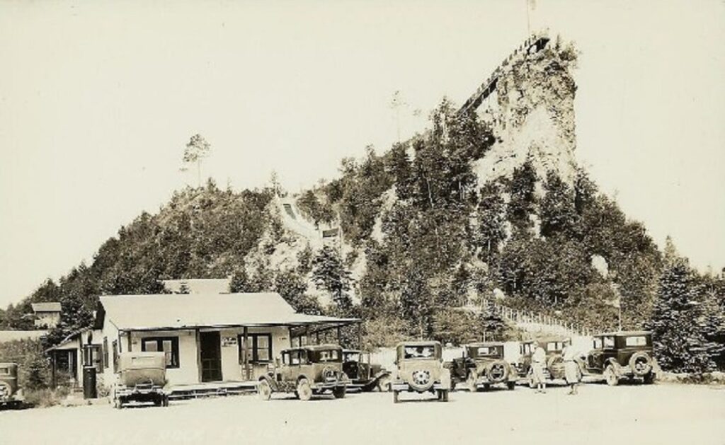
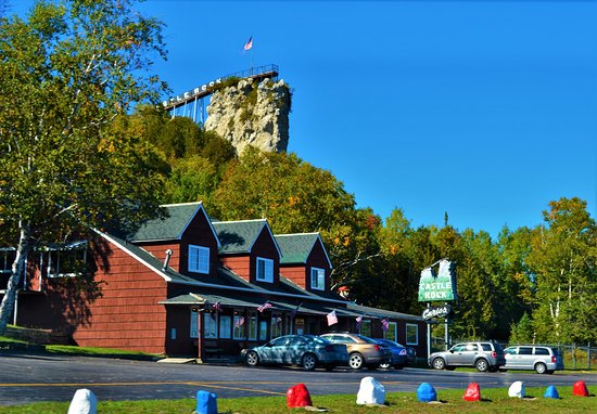
Castle Rock is located in Ignace MI. It stands 195 ft. above Lake Huron and provides a stunning overlook of Mackinac Island. It opened in 1929 and is still operated by the same family. The first photo is undated.
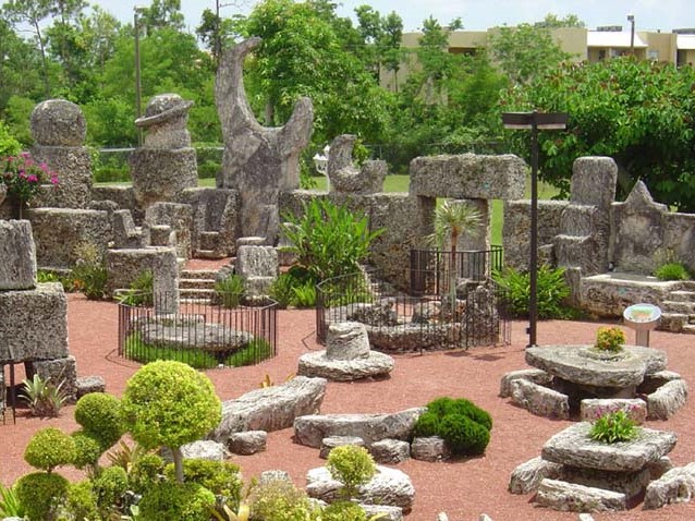
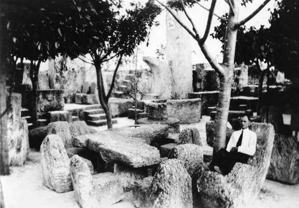
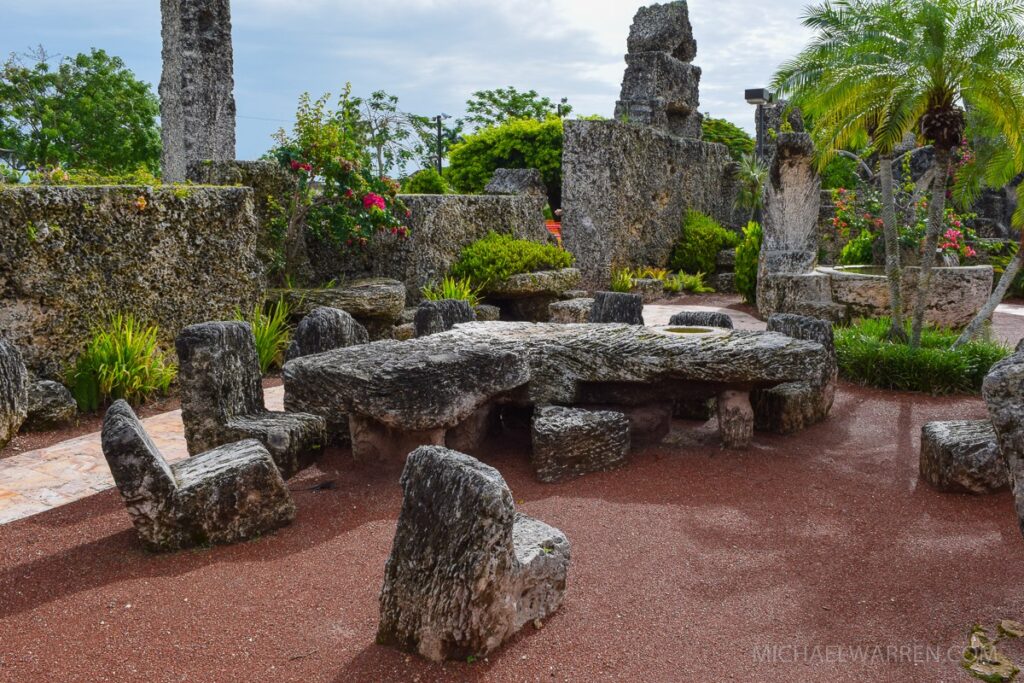
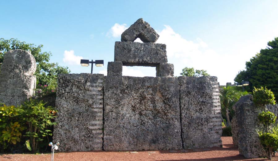
Coral Castle
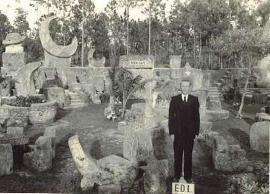
Coral Castle is located near Miami. It consists of 1,100 large stones, each weighing about half a ton. Edward Leedskaalnin built it by himself, working mostly at night and unnoticed by anyone. He labored for 28 years, finishing in 1951. The stone walls, chairs, doors, tables, sundial, etc. were all cut precisely and lifted in place and, to this day, no one is certain how he did it. The first and third photos are dated 1930.
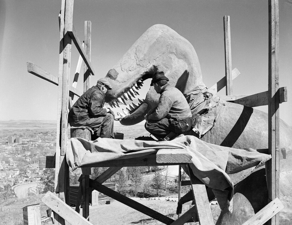
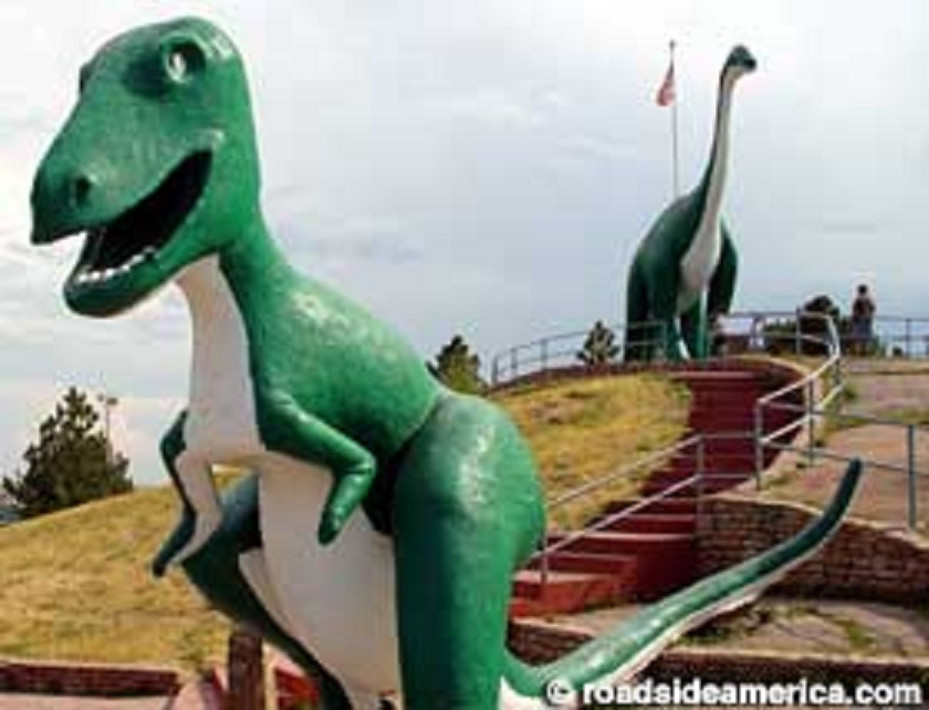
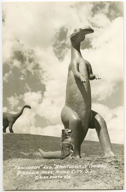
Dinosaur Park
Dinosaur Park consists of seven life-size replicas on a hillside outside of Rapid City, SD. It opened in 1936 in a region long prized for its dinosauer fossils
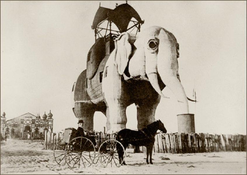
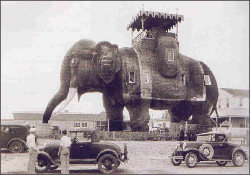
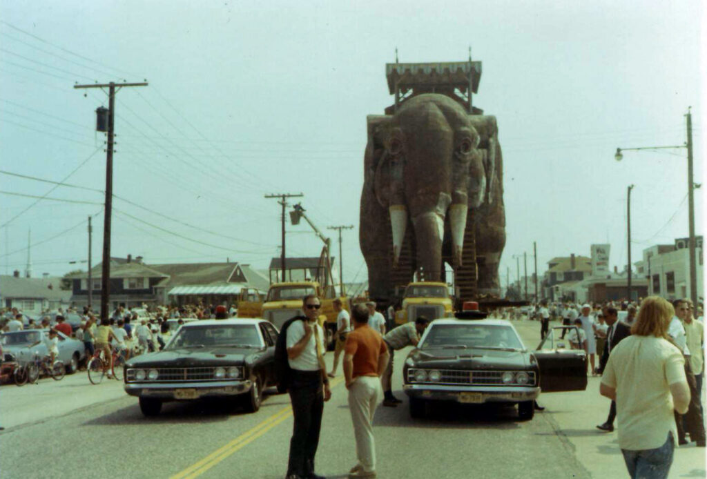
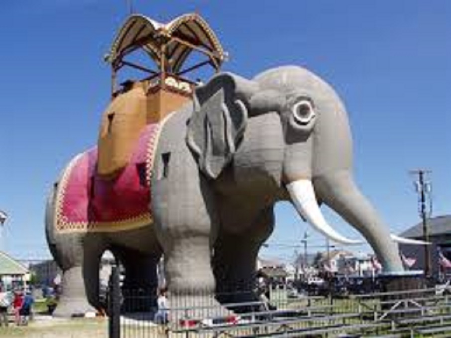
Lucy
Lucy is a six-story elephant built in 1881 and made of wood and tin sheeting. It was designed to promote real estate in the Atlantic City area. It is the oldest surviving roadside attraction in the US. Lucy was slated for demolition in the 1960s, but was saved and moved to a vacant lot 100 yards away in 1969. She was then refurbished and opened to the public in 1974. In 2020 Lucy became the only National Historical Landmark that permits overnight stays–$138 per night on Airbnb. For some great interior shots, search New York Times February 27,2020 Lucy. The first photo is dated 1885, the second is from the 1920s, and the third shows moving day .